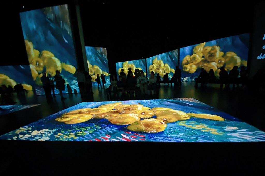
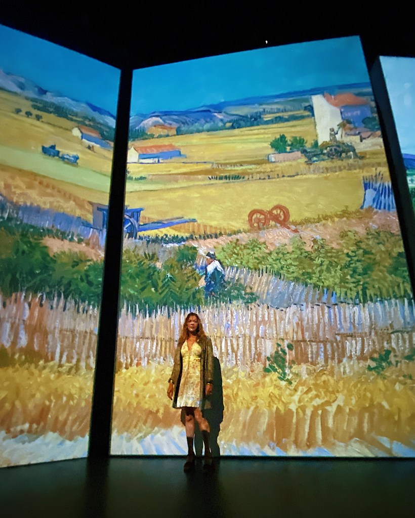
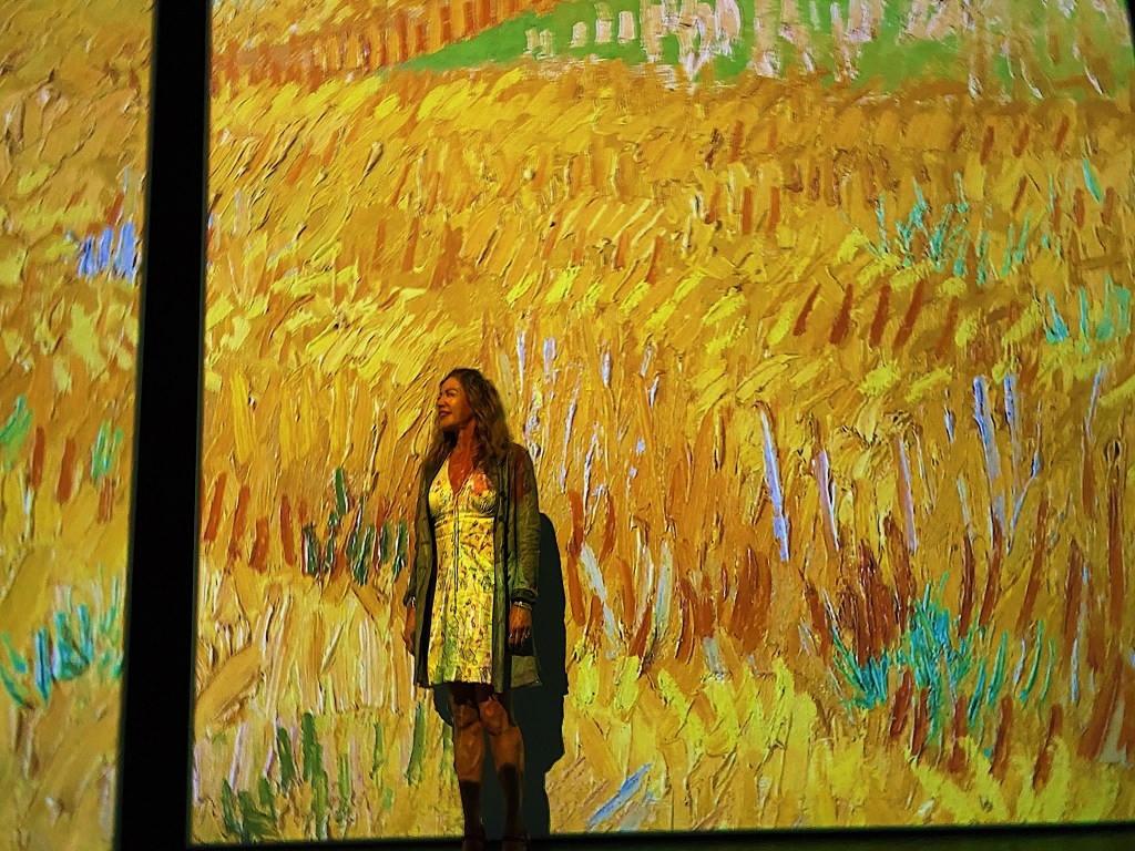
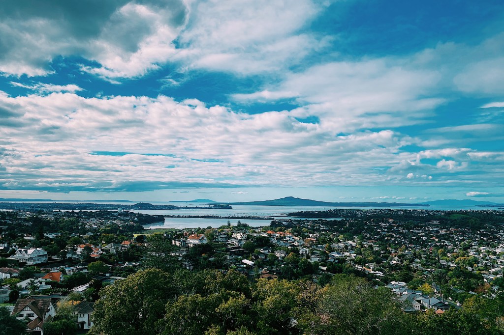
We went along to the Van Gogh Alive multi-sensory experience with our friends Howard and Carolyn. It was a beautiful experience seeing the tormented artist’s work on huge screens in vibrant color with classical music playing in the background. The colors and texture of his works make him an ideal artist for such a show. The works were also accompanied by many poignant quotes by the artist. We particularly liked his foresight when he wrote “I can’t change the fact that my paintings don’t sell. But the time will come when people will recognize that they are worth more than the value of the paints used in the picture.”
Today we continued climbing the peaks of Auckland. At 143 meters high, Ohinerau / Mt. Hobson is smaller than Maungawhau / Mt. Eden and Maungakiekie / One Tree Hill (both of which we have previously blogged about) and a much easier climb. It has been extensively modified by human use, first as a pa, then as a quarry and finally as a water reservoir. Its Maori name references Hinerau, the goddess of whirlwinds and the English name references William Hobson, New Zealand’s first Governor.
Ohinerau sits at the middle of the affluent suburb of Remuera. Back in the eighties we rented a small one bedroom flat there for $100 a month, which seems inconceivable now. We stopped at the top to enjoy the view over our old suburb.
Because a reservoir now occupies the volcano’s cone, there is a large flat area at the summit, much like a mesa.
Remnants of the large pa that occupied the site still remain, including terraces and food pits.
From the top we could see Maungawhau / Mt. Eden and Maungakiekie / One Tree Hill.
Maungawhau Maungakiekie
It was still early afternoon but the Southern Motorway was already becoming busy. Such are the joys of Auckland traffic.
Here are some more of the spectacular views from the top.
View over Remuera toward the Hauraki Gulf and RangitotoView over Newmarket toward the CityView over Remuera toward the Coromandel ranges.
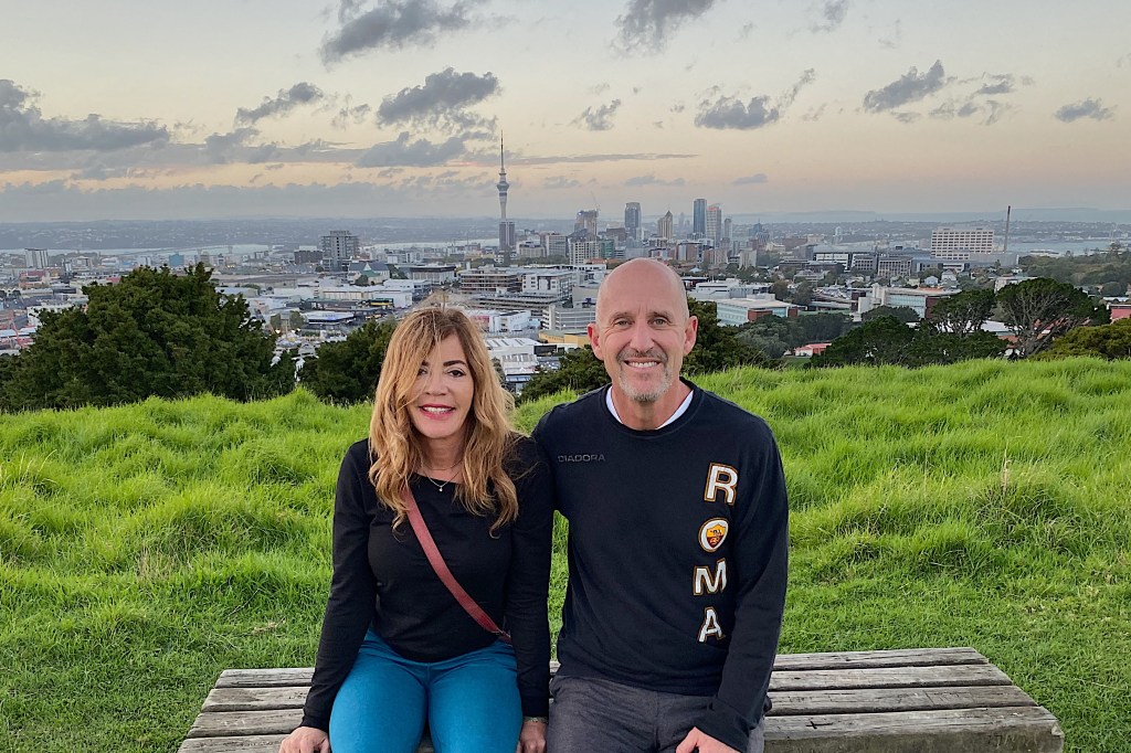
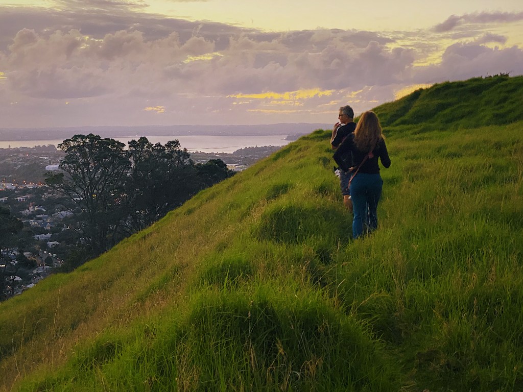
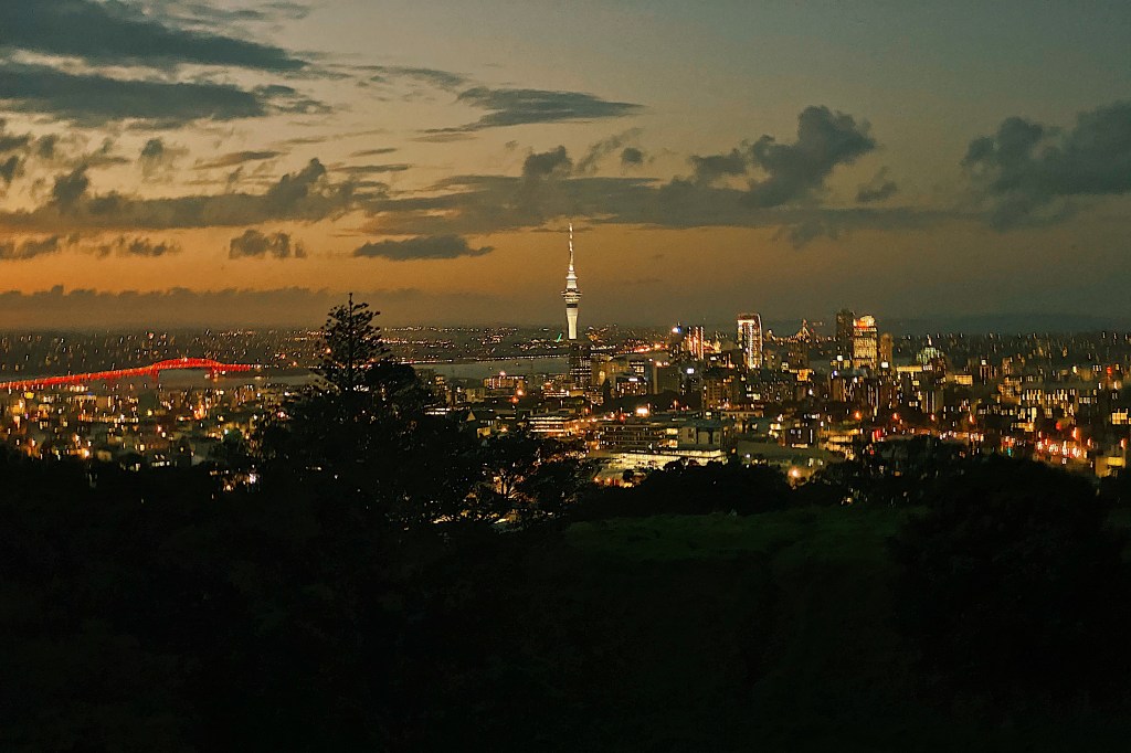
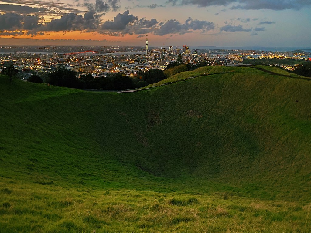
As the sun started to fall we joined our good friend Hamish as he took his two dogs, Bonnie and Chica, for their regular walk up Maungawhau / Mt. Eden. Maungawhau (mountain of the whau tree) is Auckland’s highest peak at 643 feet above sea level and at times the climb was rather strenuous. Hamish took us ‘off piste’ as we climbed steep slopes and walked along the terraces left over from pre-European times when it was the site of a pa. Along the way we were treated to some spectacular views.
Maungawhau is a dormant volcano that erupted about 28,000 years ago. There is a deep bowl-like crater that is 50 meters deep. The crater is named Te Ipu-a-Mataaho (the bowl of Mataaho). Mataaho was a deity said to live in the crater and to be the guardian of the secrets hidden in the earth.
Today we walked along Karangahape Road, commonly shortened to K Road by the locals, over the Grafton Bridge and on through the Domain to the Auckland Museum.
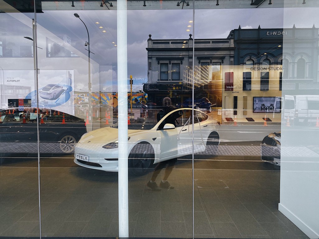
K Road was Auckland’s most popular shopping street during the first half of the 1900s and was home to many of New Zealand’s most popular stores. However, in the 1960s a new motorway system was built which led to many of the surrounding residences being destroyed. As a result many of the stores closed and the road became run down. The western end of the road became the center of the sex industry and was the home of a number of strip clubs and adult video stores. However, more recently it has undergone a resurgence due to the gentrification of the neighboring suburbs and the construction of new apartment buildings. Now it is the home of trendy restaurants, artisan bakers and even a Tesla dealership.
We aren’t generally big fans of cakes but we make an exception for The Caker’s gluten-free cakes. Sadly, they have stopped making our favorite passionfruit orange cake.
Standing on the bridge that crosses one of the motorways that led to K Road’s demise is one of the more colorful bus stops that we have come across in our travels.
There is still a way to go before the Road returns to its former glory. Currently, it is undergoing an extensive beautification project.
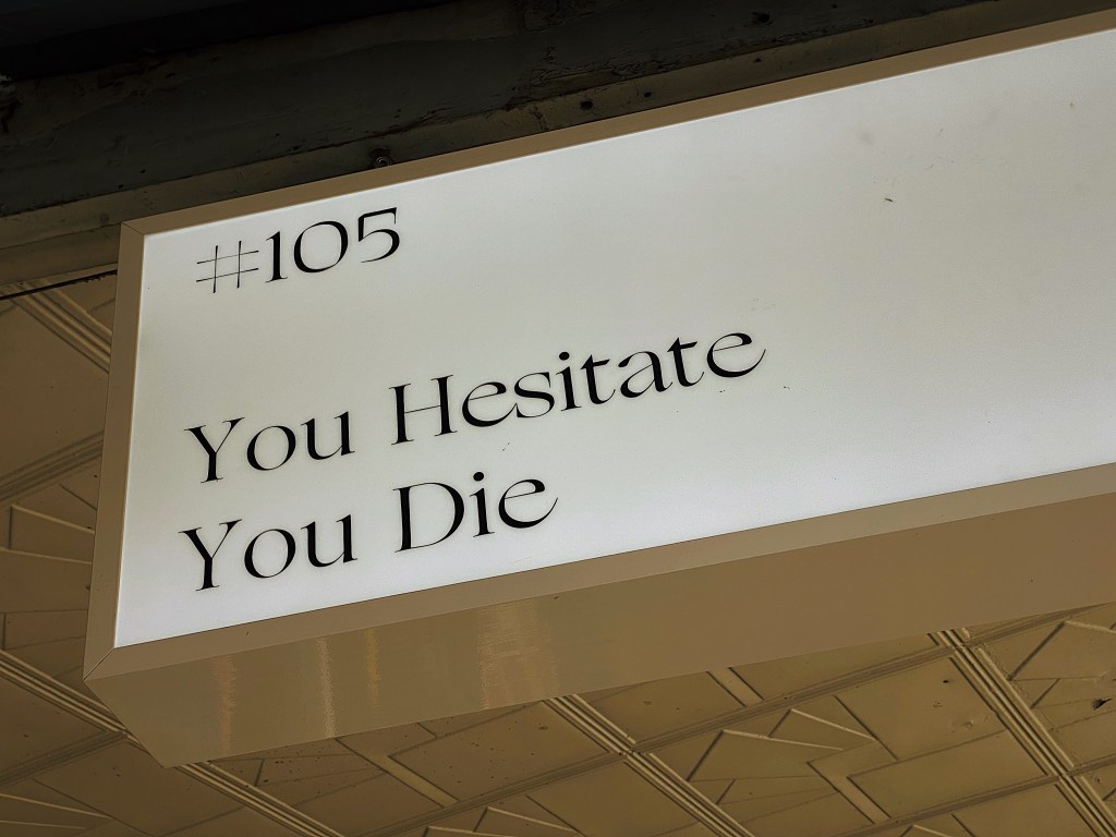
We found this overhead sign somewhat disturbing.
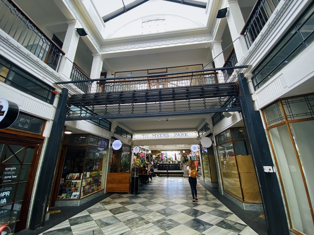
About half way along K Road is St. Kevin’s Arcade. Built in the 1920s, it is now the home of fashionable restaurants and shops. We are looking forward to dining soon at Gemmayze Street, a very popular Lebanese restaurant.
Our local Member of Parliament (MP) also has her office on K Road. At 26 years old she is one of New Zealand’s youngest MPs and is also only the second Green Party MP to win an electorate seat. And because New Zealand is such a small country where everybody knows everybody, she also used to date Mal’s cousin’s son for a couple of years.
K Road ends at Grafton Bridge which we crossed on our way to the Museum. Completed in 1910, it was at the time the largest single-span concrete bridge in the world. Unfortunately, because of its height it also became popular with suicides. The bridge now has curving overhangs to discourage would be jumpers and provide shelter from Auckland’s frequent showers.
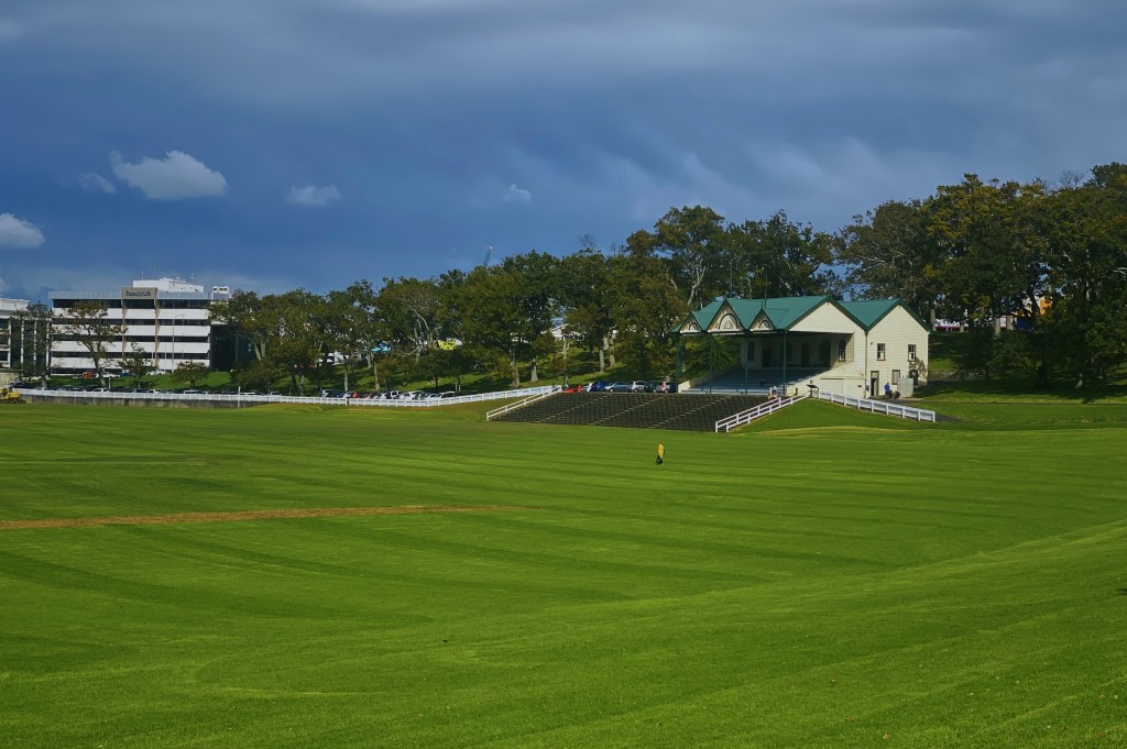
The Museum stands in the middle of the Auckland Domain (Pukekawa) the city’s oldest park. The park sits on the explosion crater and surrounding tuff ring of the Pukekawa volcano. It has extensive playing fields and beautiful gardens.
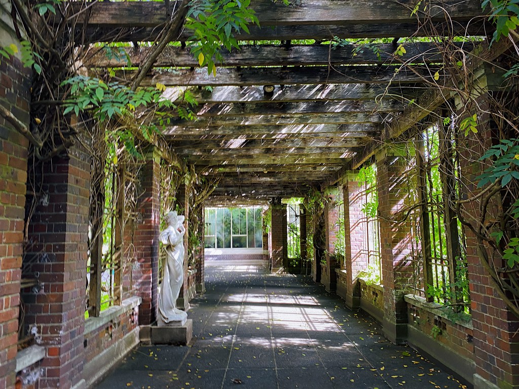
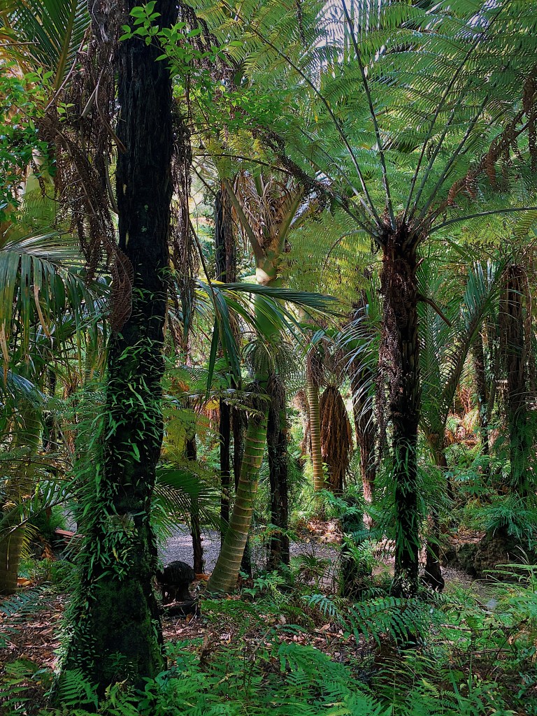
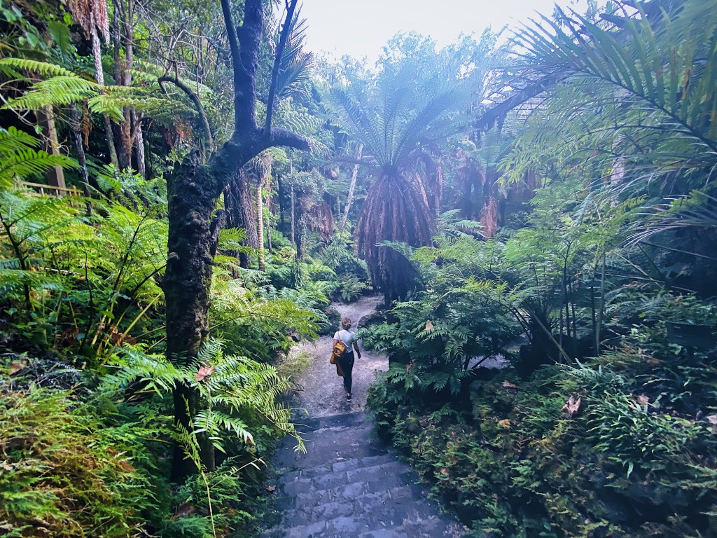
As well as the Museum it is also home to the Wintergardens, which include two beautiful glass houses and a fernery which has been constructed in an old quarry.
The Auckland War Memorial Museum (Tamaki Paenga Hija) is one of New Zealand’s oldest and most important museums and war memorials. It was constructed in the 1920s in neo-classicist style.
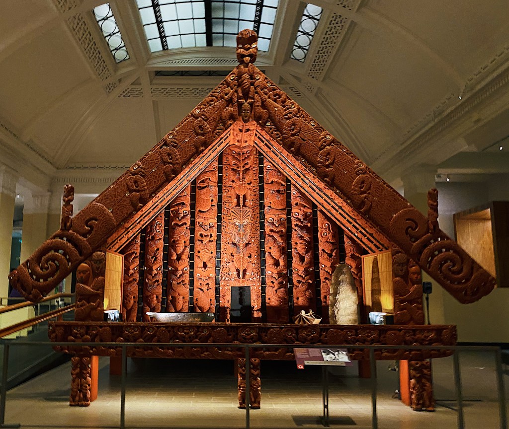
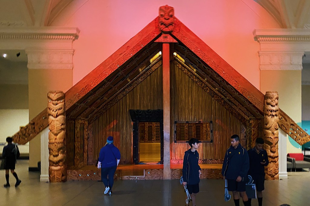
It contains a large variety of exhibits and many Maori artifacts, including a complete meeting house and a war canoe.
There were a lot of students wandering around, including these boys from Mal’s old school, Auckland Grammar
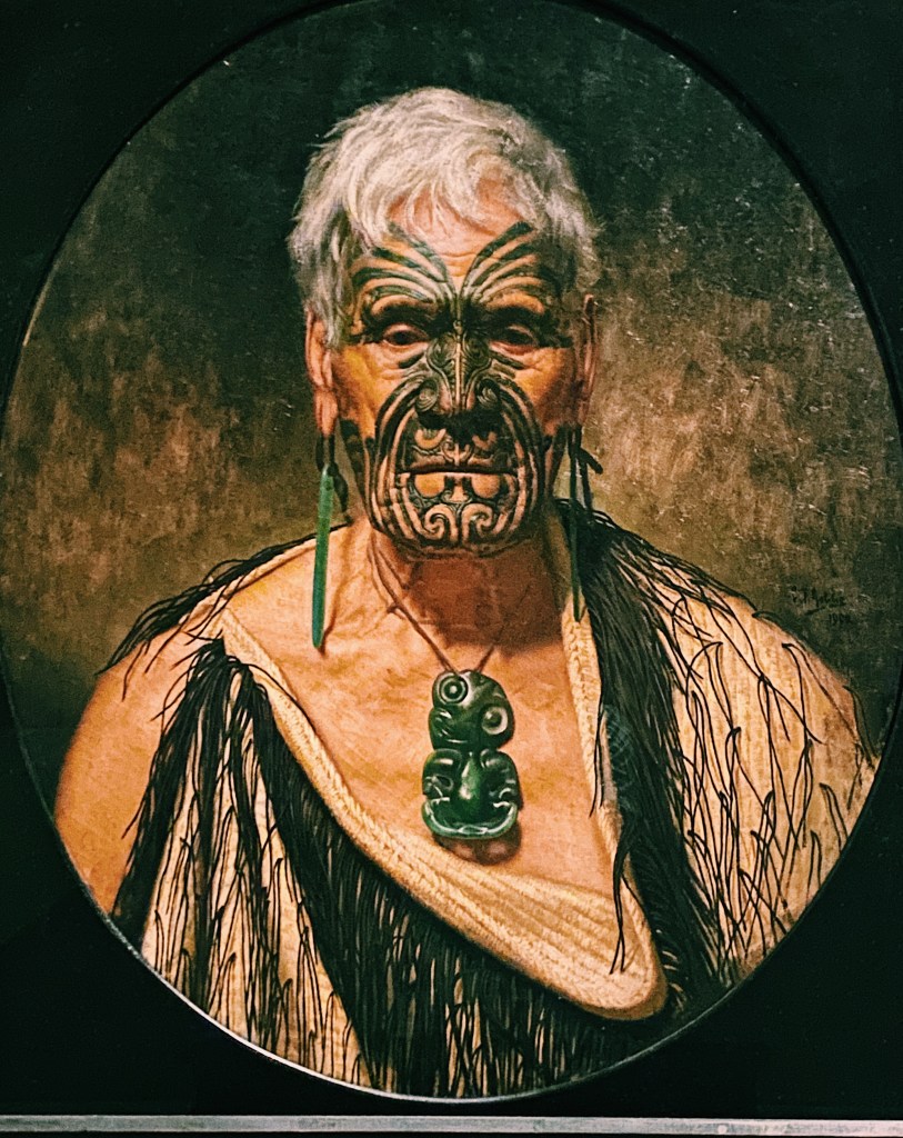
The museum also has some great paintings by Charles Goldie. Goldie was born and died in Auckland (1870 to 1947) and is best known for his portrayal of Maori dignitaries.
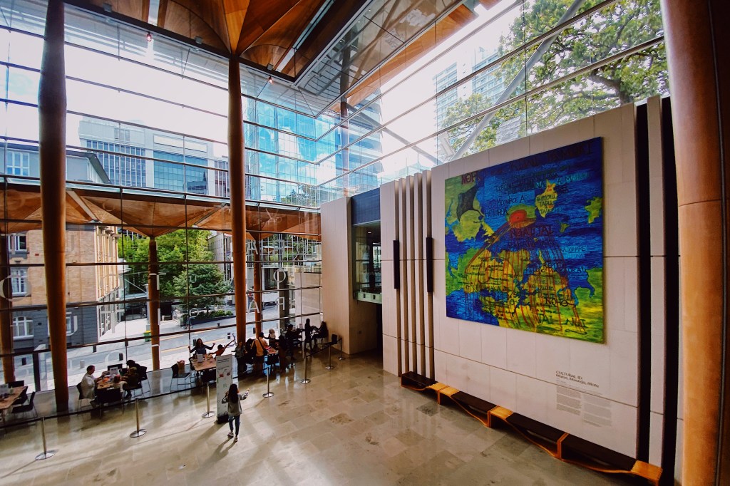
The museum had a recent makeover of its south atrium to the tune of $38 million. Once again, our cousin Neil’s old firm took the lead. The results are spectacular. The Noel Lane designed Tanoa bowl is particularly stunning.
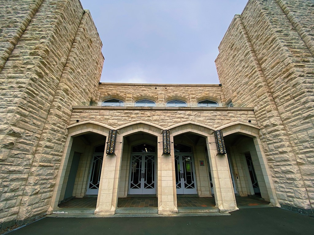
The traditional north entrance is also very impressive.
The museum had some old photos of Auckland that we were able to compare with the same spots today.
K Road circa 1865The same spot on K Road today.
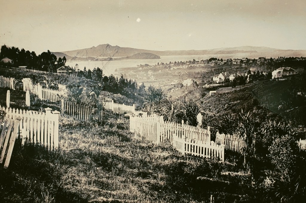
Sitting next to and below Grafton Bridge is Auckland’s oldest cemetery. Here are photos of it from circa 1868 and today.
Auckland cemetery circa 1868.Auckland cemetery today.
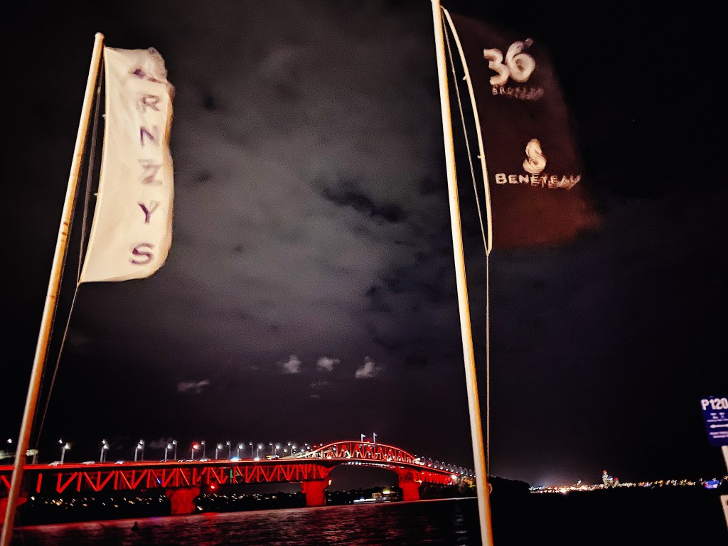
In the evening Mal had dinner at the Royal New Zealand Yacht Squadron with his old school friends Howard and Hamish. The Squadron occupies a prime spot at Westhaven, practically under the Auckland Harbor Bridge. It is the current holder of yachting’s most prestigious trophy, the America’s Cup. We are proud to say that Howard built the cabinet that now holds the Cup.
The Royal New Zealand Yacht SquadronAuckland Harbour Bridge as seen from the SquadronThe America’s CupHamish, Howard and Mal
The Auckland area is home to 48 volcanic cones, many of which are clearly visible standing above their surrounding suburbs. The most recognizable is Maungakiekie (hill of the kiekie vine) more commonly known as One Tree Hill. The hill got its English name from a solitary tree that stood near its summit. However, that tree was cut down by an early settler in 1852 either in an act of vandalism or for firewood. Over the years, there have been numerous attempts to replace it with other trees. Most recently there was a lone pine standing near the summit but it came to an untimely end when it was attacked by a chainsaw wielding Maori activist in 2000.
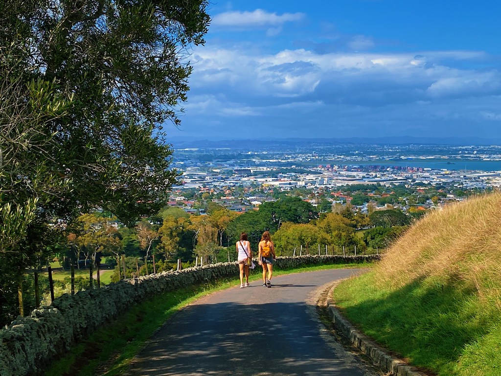
Joined once again by our walking buddy Judi, we made our way up along the winding road that leads to the summit. The hill was once the site of the largest and most important Maori pa (fortified village) in pre-European times, with a population of up to 5,000. It is not uncommon in New Zealand to see terraces cut around the sides of hills. These are the remnants of the original pas that were built on the easy to defend hills. Maungakiekie is no exception.
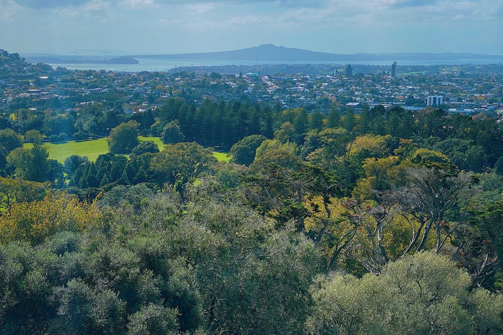
From the top there are spectacular views over the city.
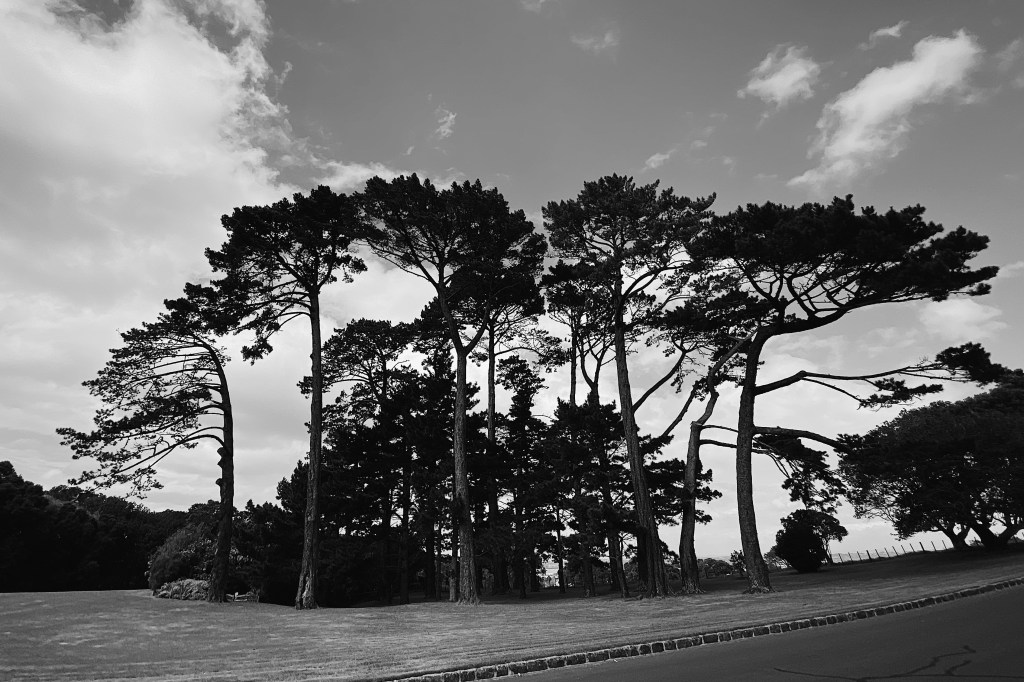
There also appears to be a new effort to regrow trees at the top.
Although there is no tree currently at the summit, there is an impressive obelisk. Unveiled in 1948, the obelisk is a memorial to Maori and features a bronze statue of a Maori warrior at its front. The money for the Memorial had been bequeathed by Sir John Logan Campbell, who had donated the surrounding farmland to the public. Campbell, who died in 1912, is buried at the foot of the obelisk. Like many European New Zealanders of his generation, Campbell had expected that the Maori would gradually die out and his hope was that the obelisk would make a striking memorial. That, of course, never happened and the use of the term “memorial” seems inappropriate nowadays. Particularly with Maori culture becoming more and more predominant in modern day New Zealand.
It was pretty breezy at the top so we made our way down into surrounding Cornwall Park.
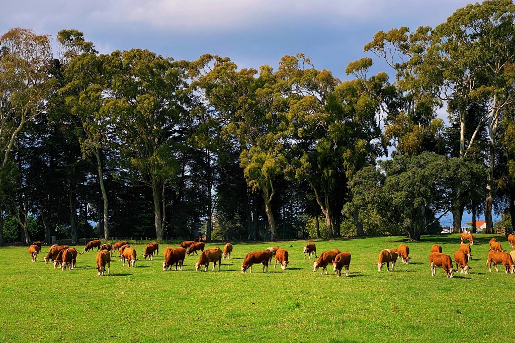
The Duke of Cornwall, later to become King George V, was visiting New Zealand in 1901 at the time that Sir John Logan Campbell was intending to donate to the public his 230 acres surrounding One Tree Hill. So on June 11, Campbell, who was Mayor of Auckland at the time, presented the deed to the land to the Duke and asked for his consent to name the park Cornwall Park in his honor. It is incredible to be able to enjoy such idyllic farmland right in the center of Auckland, complete with grazing sheep and cattle.
Cambell had become interested in wine and olive oil cultivation and had imported 5000 olive trees to be planted on his land in the 1860s. Unfortunately, the trees were sterile and produced a low yield of poor quality fruit, making the venture unprofitable. Today there are around 200 of the original trees on the west side of the park. They are some of the largest olive trees that we have seen anywhere.
Campbell, along with William Brown, a Scottish lawyer who had arrived in Auckland at the same time as Campbell, built Auckland’s earliest house. That cottage still exists, having been moved to Cornwall Park from its original location in in 1920.
Today we decided to go for a stroll through our alma mater, The University of Auckland, where Mal did his BA and Law degrees and Lauren did her MA. We were joined by our friends Judi and Arlette who were both at university with us back in the eighties. In fact, Arlette still works at the university, so she was able to give us the latest varsity news.
It is a public university, situated in the center of the city and has about 40,000 students. It has doubled in size since we attended. Back then most of the students were pakeha (white) but now the majority are Asian, as the University markets itself to foreign, primarily Chinese, students who pay much higher tuition fees than the locals.
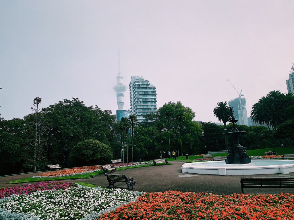
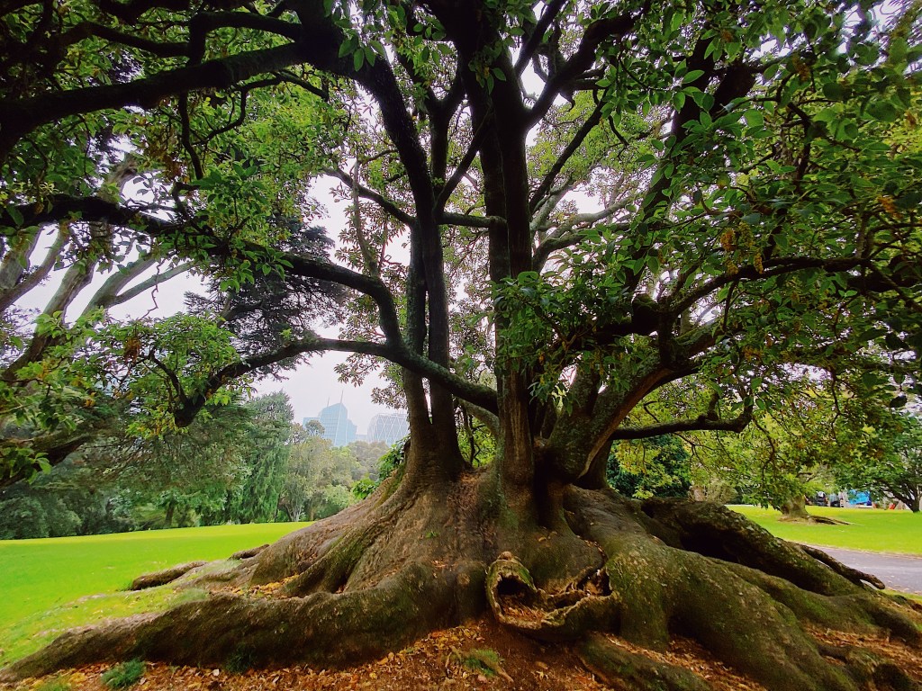
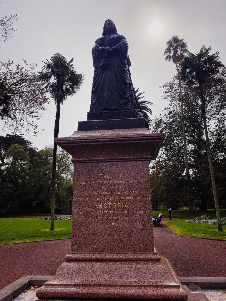
Next to the campus is Albert Park, where we spent many an enjoyable hour lazing in the sun between classes. The park has a beautiful fountain, lovely flower gardens, some very old trees, and a statue of Queen Victoria looking rather stern. It’s almost as though she is judging the poor work habits of the lazy students relaxing in the park.
The iconic symbol of the University is its clock tower, inspired by the famous Tom Tower of Christ Church college in Oxford. It was built in the 1920s to mark the success of a campaign to keep the university in the central city.
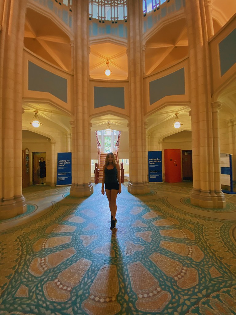
The inside of the tower is also very beautiful.
Unlike Washington DC, there are very few tree lined streets in Auckland. One exception is Alfred Street which runs through the campus.
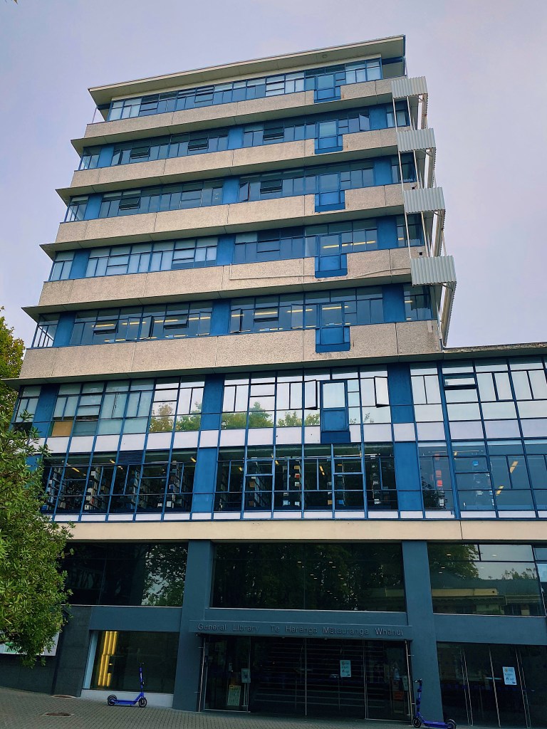
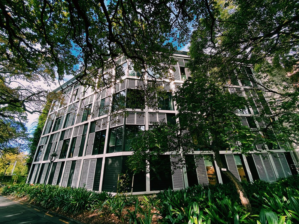
On Alfred Street is the main library where we did most of our studying. At the time the law school occupied the top three floors of the Library building. Mal remembers the lecture theaters offered amazing views of the city and the harbor beyond. Strangely, he can’t remember too much about the content of the lectures.
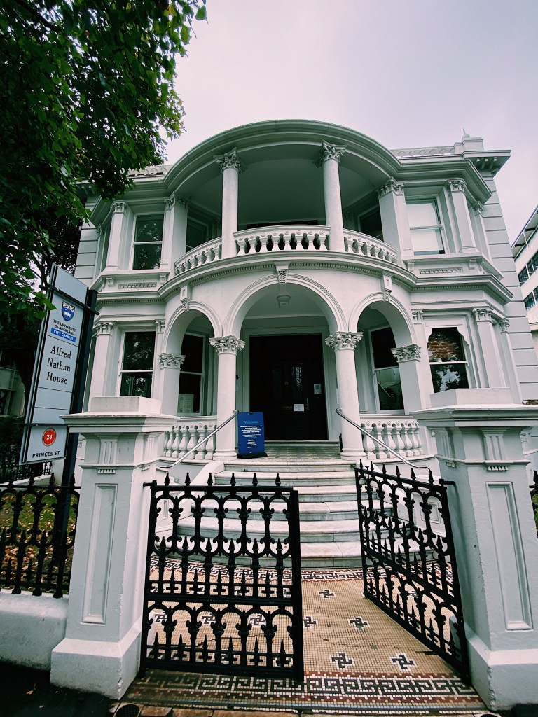
Across Alfred Street from the library is an old house that is now the student support center. But back in the day it was the economics department where Mal’s father, who was a professor at the university, had his office.
Next to the center is the quad and atrium where students hang out when they are not in class or in the park.
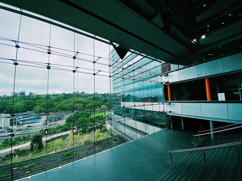
One building that wasn’t there during our time is the impressive business school. It is another building worked on by our architect cousin, Neil. Completed in 2007, it has won numerous architecture awards.
After lunch in the business school cafe, we continued our walk around the campus. Here are some of the sites we caught along the way.
We liked this intimidating bronze statue by Michael Parekowhai, entitled Kapa Haka.
On the campus grounds is Old Government House. Completed in 1856, it was the residence of the Governor of New Zealand until the capital was moved to Wellington in 1865. For the next century it was the residence of Auckland’s Viceregal. British royalty have stayed there on six occasions and the present Queen broadcast her Christmas speech to the Commonwealth from the building in 1953. Since being transferred to the University in 1969 it has served as a Staff Common Room Club. It was a favorite place for Mal’s father to entertain guests. Among other events, we can remember a pleasant lunch spent there after Mal was admitted to the Bar.
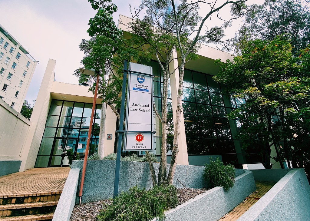
Speaking of the Bar, the current law school occupies a building that once served as the court where Mal was sworn in to the Bar.
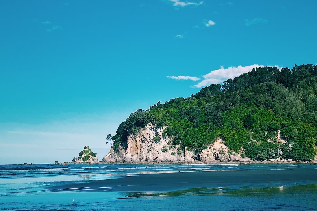
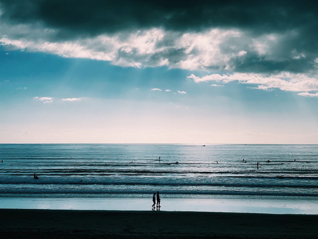
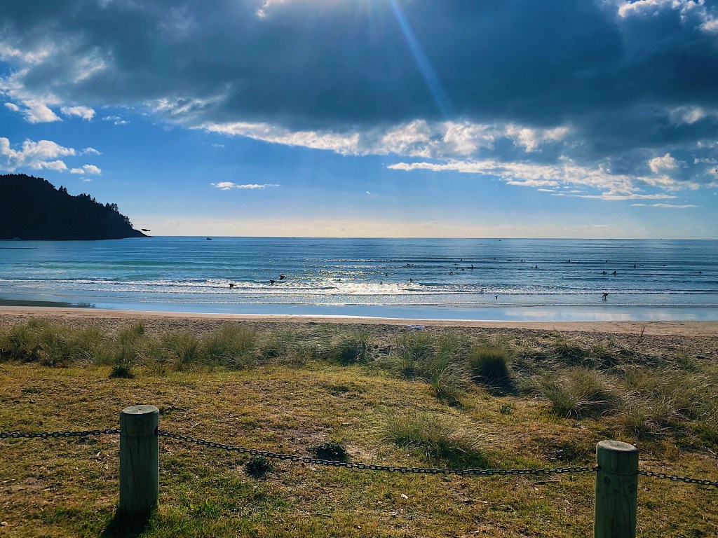
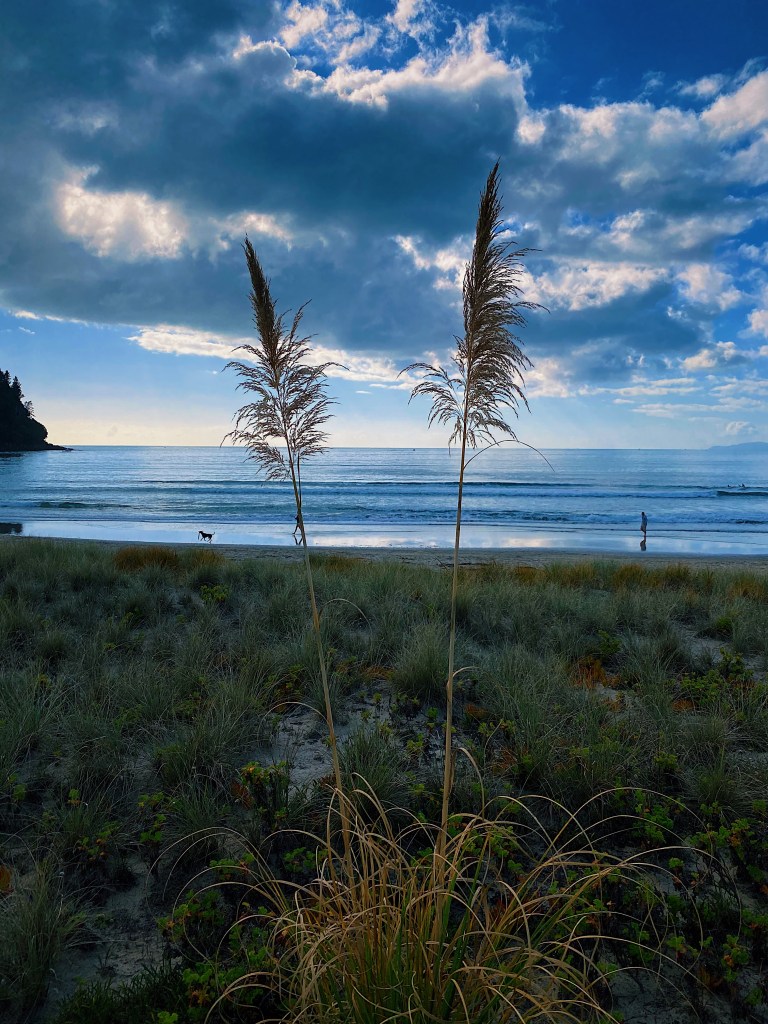
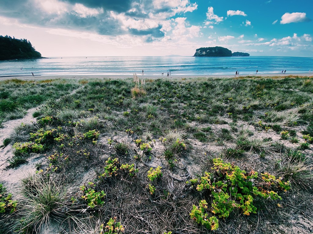
We just spent an awesome Easter weekend at the beach town of Whangamata with our dear friends Dave and Jac, their son Nick and his partner Nicole. Whangamata comes from the Maori words ‘whanga’ meaning bay and ‘mata’ meaning stone, and refers to the obsidian which washes up on the beach. The permanent population of the town is under 5,000 but can swell to as much as 25,000 over the Summer months. Indeed, the town was teeming with kiwis getting in their last beach fix of the year before winter sets in. The town, which is about a two hour drive from Auckland, has two long sweeping beaches with gentle waves that are perfect for what appeared to be many beginner surfers.
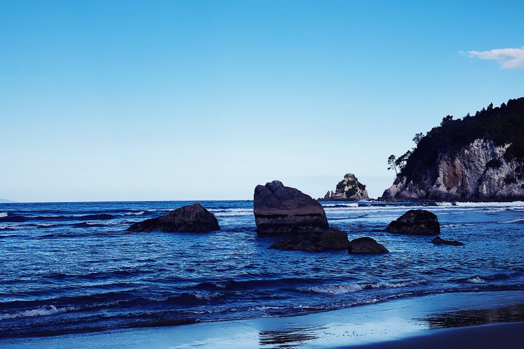
Just offshore are some beautiful islands.
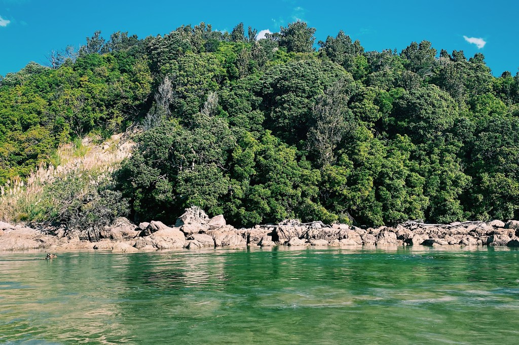
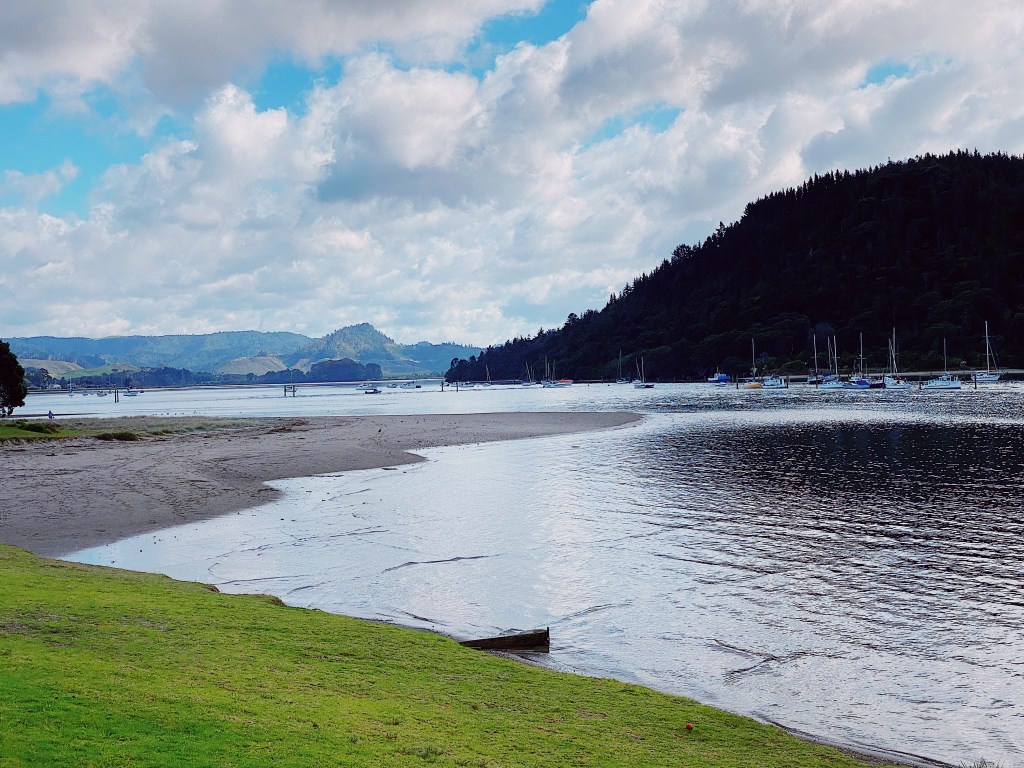
At the south end of the beach, a narrow green river flows into the ocean.
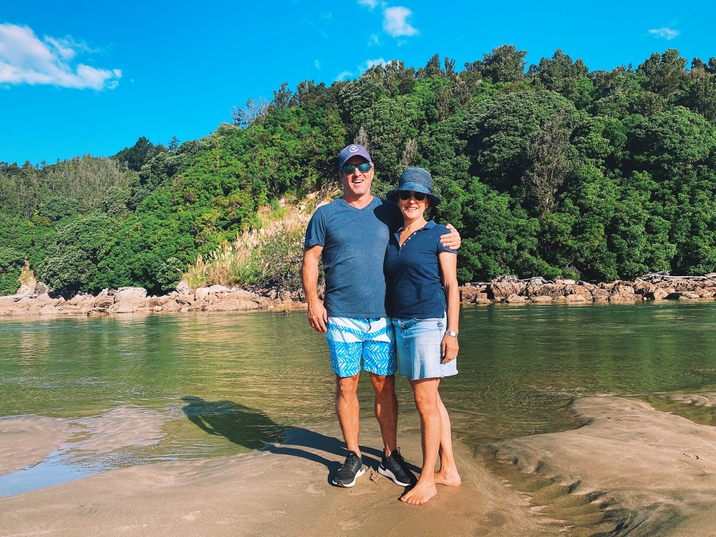
Our gracious hosts, Dave and Jac
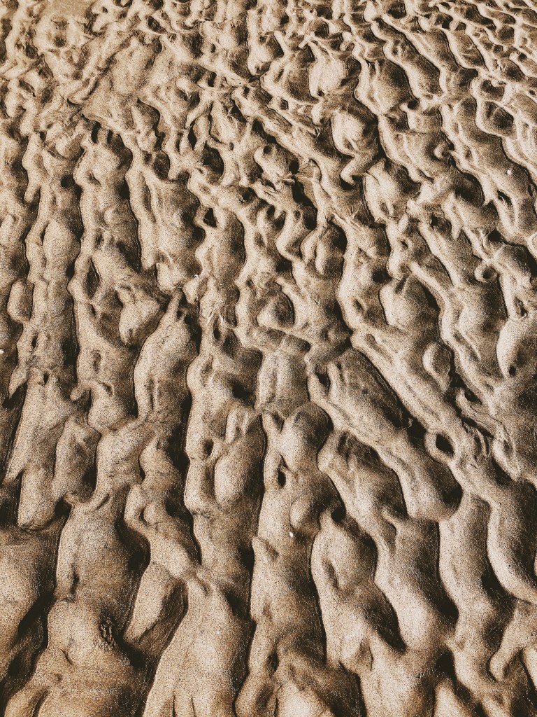
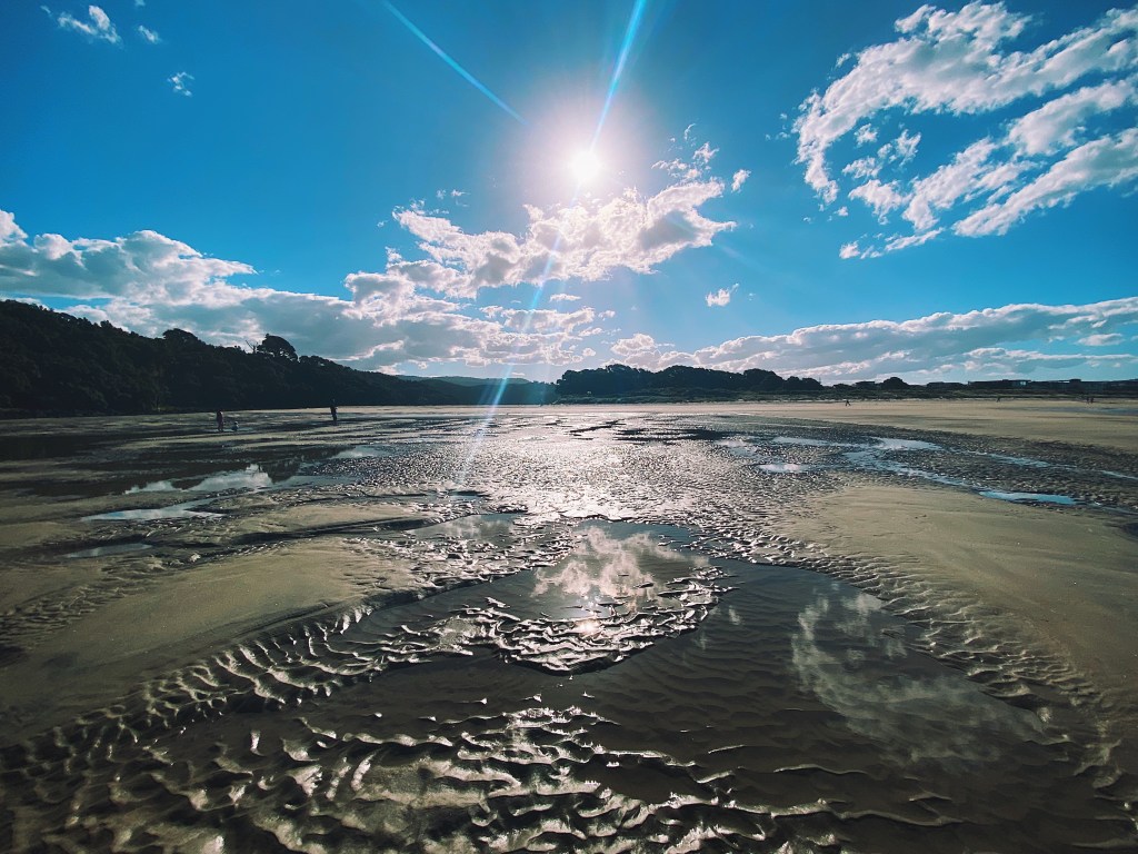
The tide had left some beautiful patterns on the sand.
At the north end of the beaches is a boating harbor with a large marina.
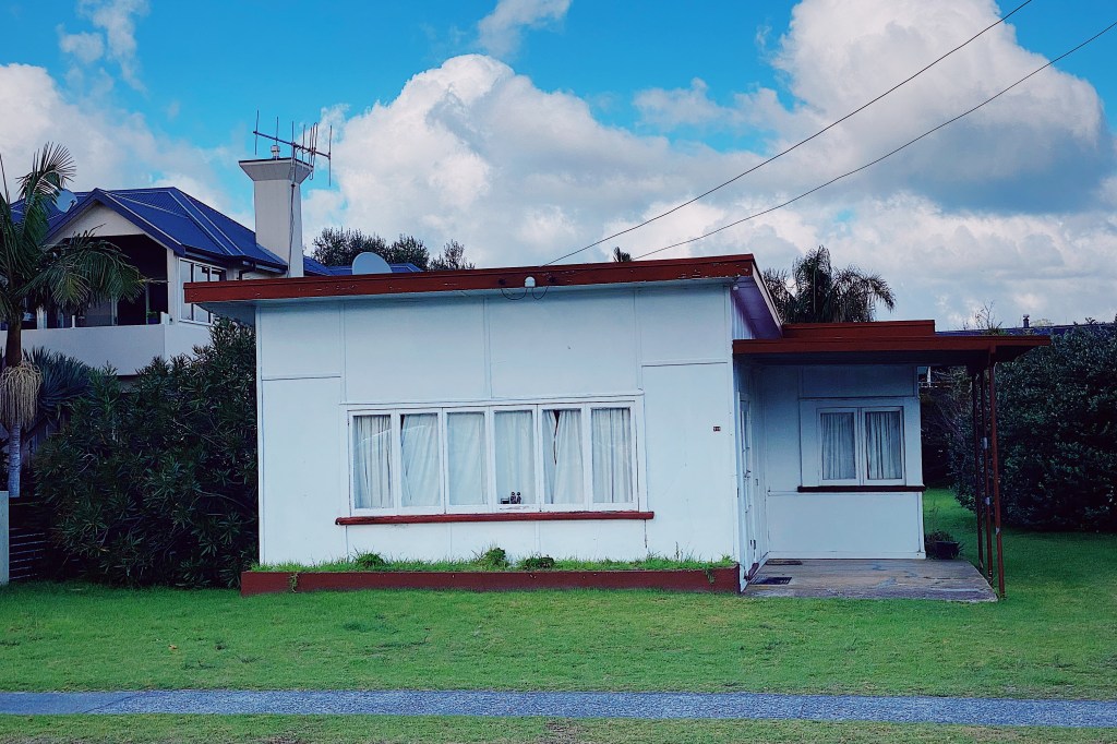
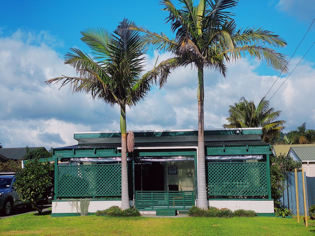
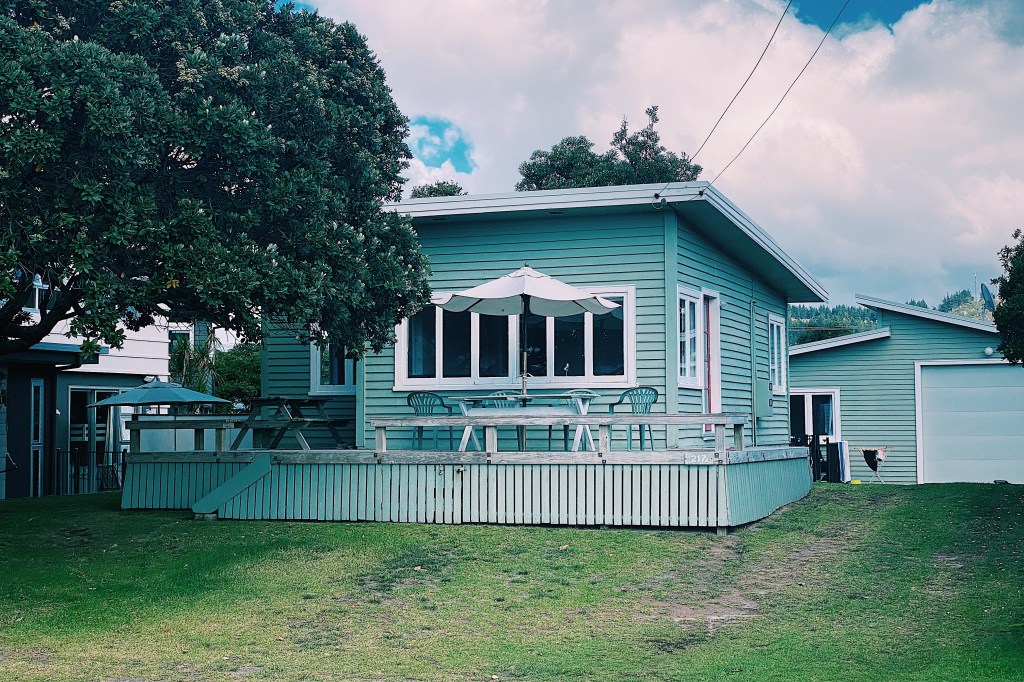
While the beaches are lined with homes that sell for millions of dollars, there are still some small classic kiwi baches in the town.
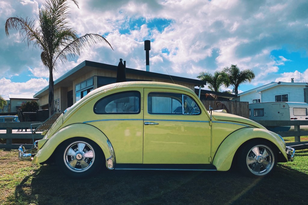
Speaking of classics, we liked this VW Beetle.
\After a walk around town, it was time to head back to the beach.
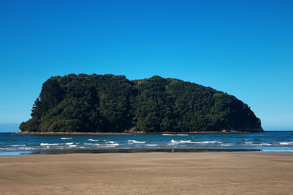
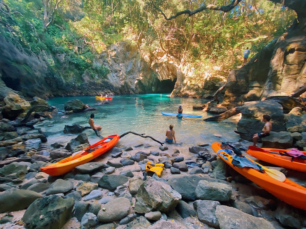
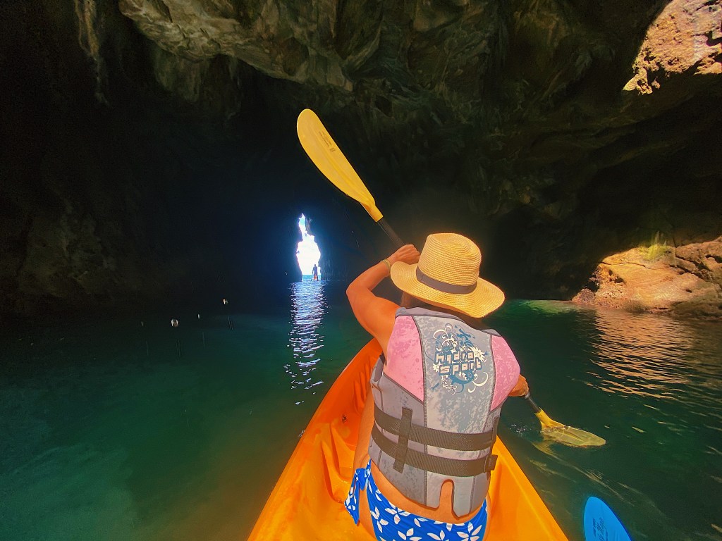
On our last morning, we kayaked out to one of the offshore islands. It’s name is Whenuakura but it is commonly known as Donut Island. The island has a collapsed blow hole at its center which has formed a small idyllic cove that is only accessible through a narrow cave, hence the name.
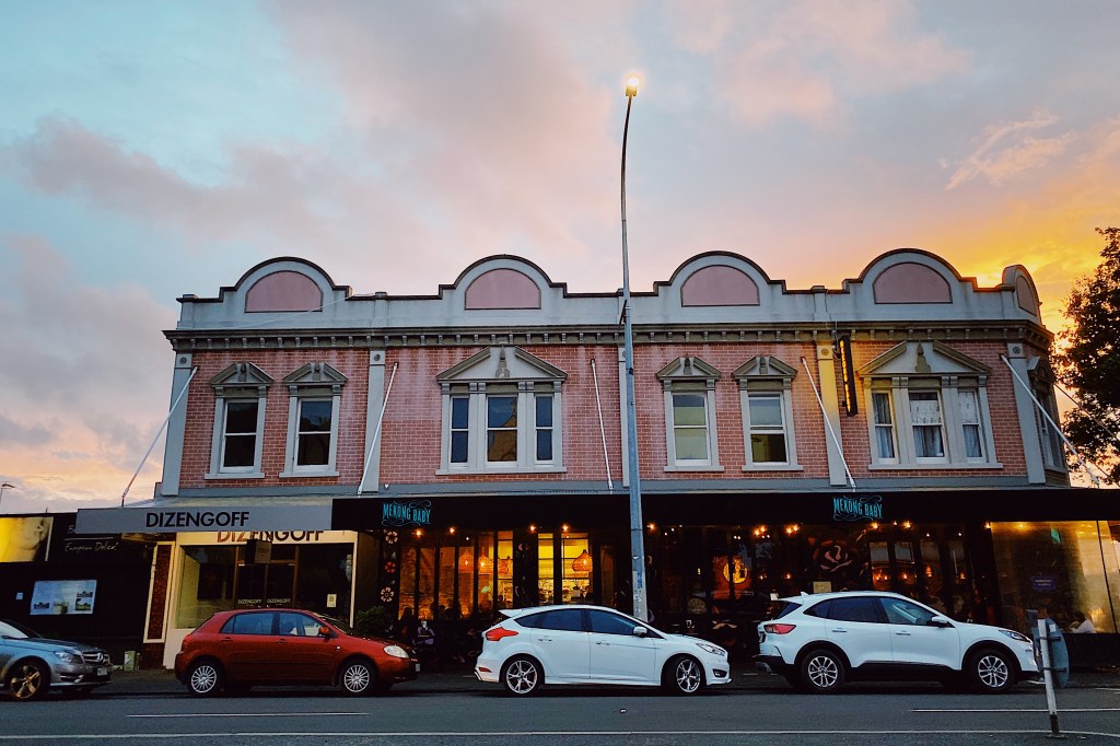
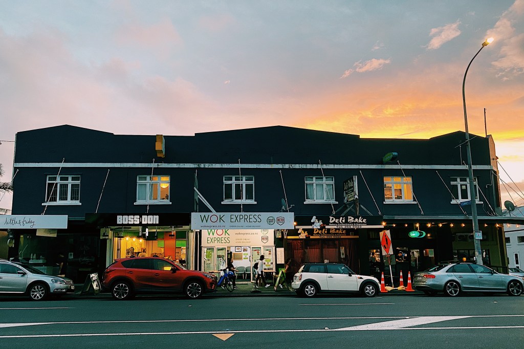
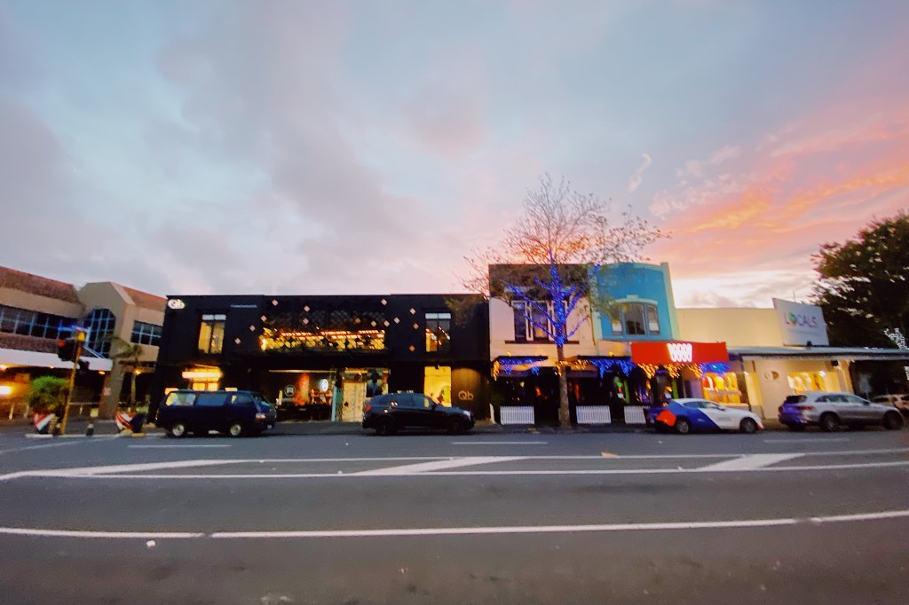
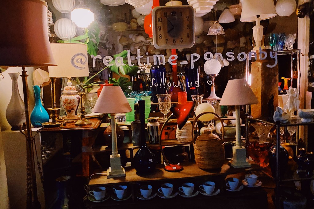
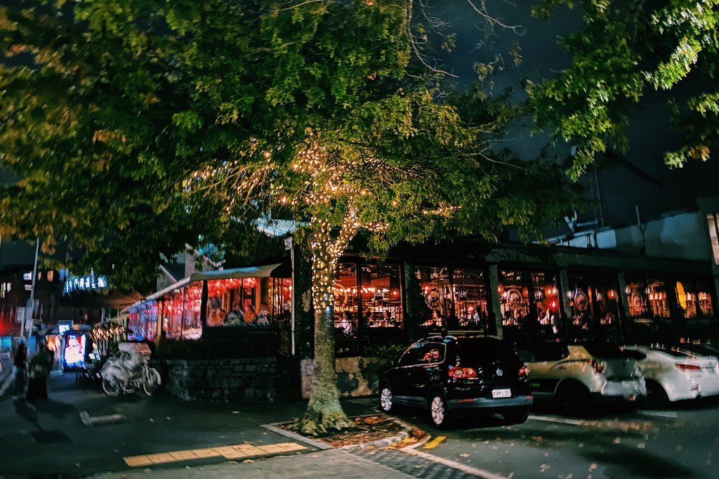
After dinner, we decided to go for a walk along the length of Ponsonby Road. For DC residents, Ponsonby Road is best likened to 14th Street, but on steroids. Along its length are scores of restaurants, cafes and boutique stores. Even on a Tuesday night it was bustling. Many of the early street names in Auckland were derived from military officers involved in the Napoleonic Wars. The Ponsonby area that sits along the western side of the Ponsonby Road has a number of examples, including Collingwood, Cockburn, Anglesey, Picton and Vandeleur. So it appears likely that Ponsonby Road is named for General Sir William Ponsonby who was at Waterloo. The Maori name for the ridge along which the road runs is ‘Te Rimu Tahi’ which translates to ‘The Lone Rimu Tree’, which apparently refers to an ancient Rimu tree that stood on the ridge.
We started off at the north end in the area called “Three Lamps.” We are not sure how this part of the road got its name, but as you can see in the following photo, there is indeed a street light with three lamps.
The Gluepot Tavern
Standing behind the three lamps is the prior Gluepot Tavern. Until it closed in 1994, the Gluepot was a great place to catch local bands. We spent many a night there in the eighties enjoying such classic New Zealand bands as Hello Sailor, The Chills, and The Clean.
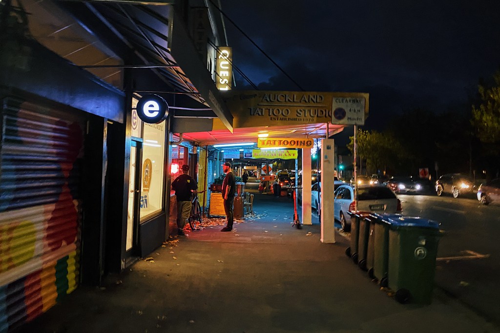
Here are some of the sites you will see walking along Ponsonby Road on any given night.
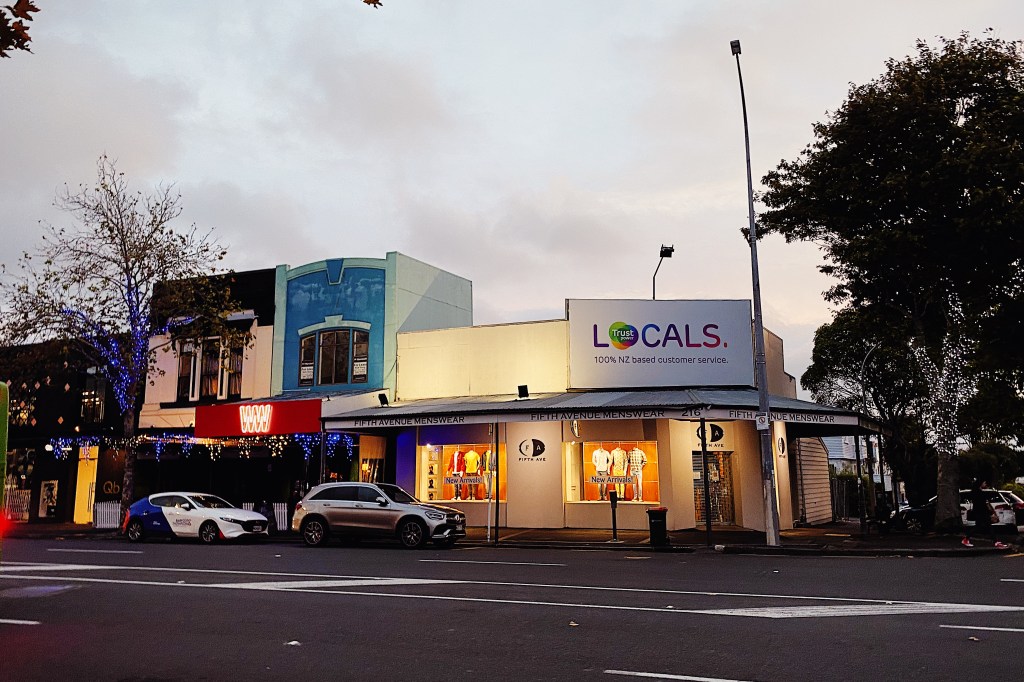
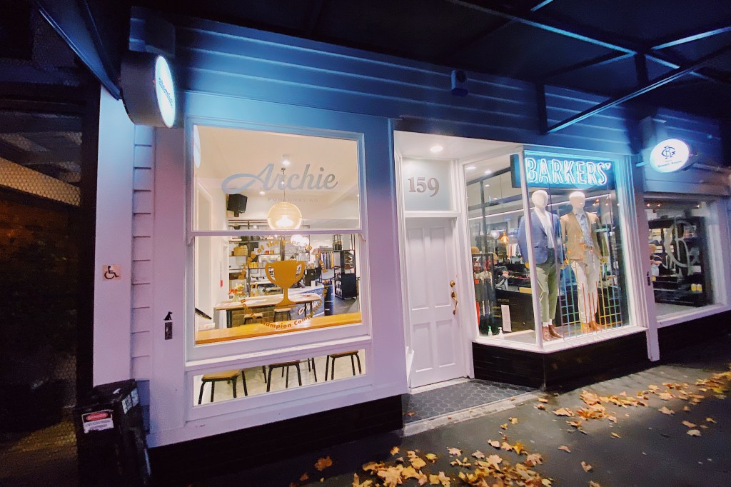
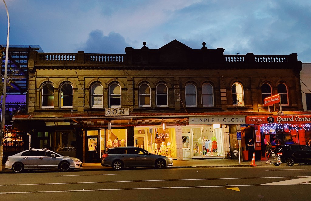
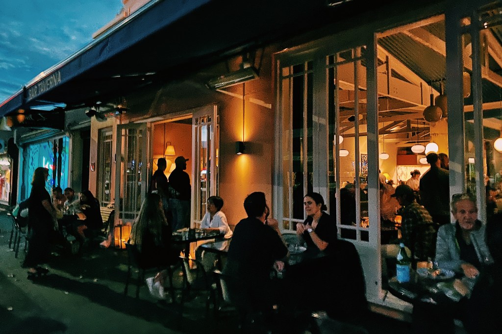
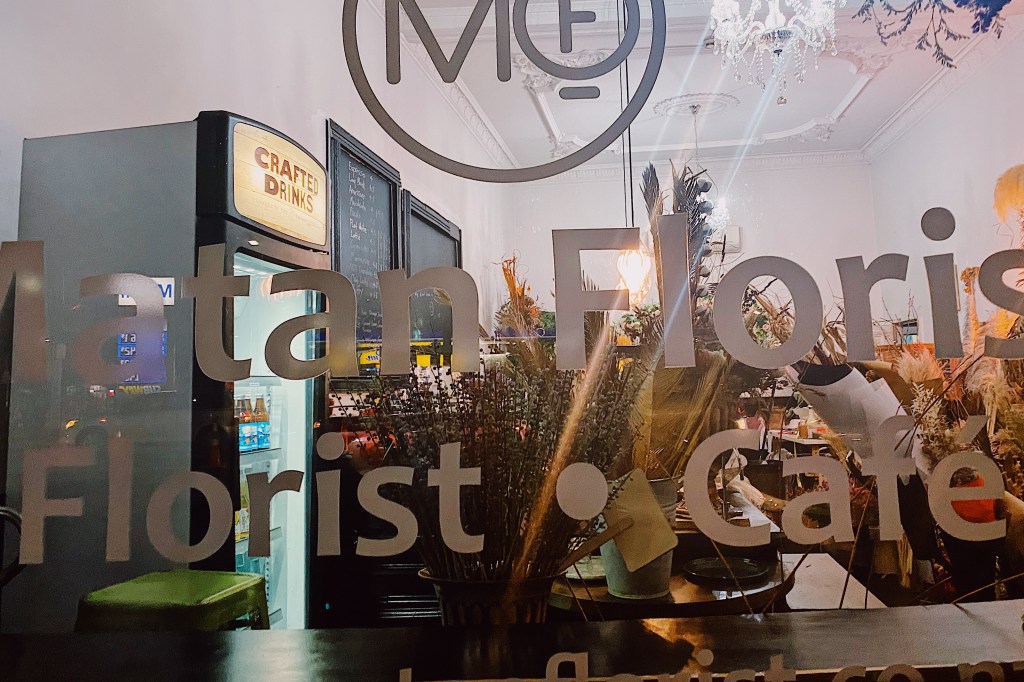
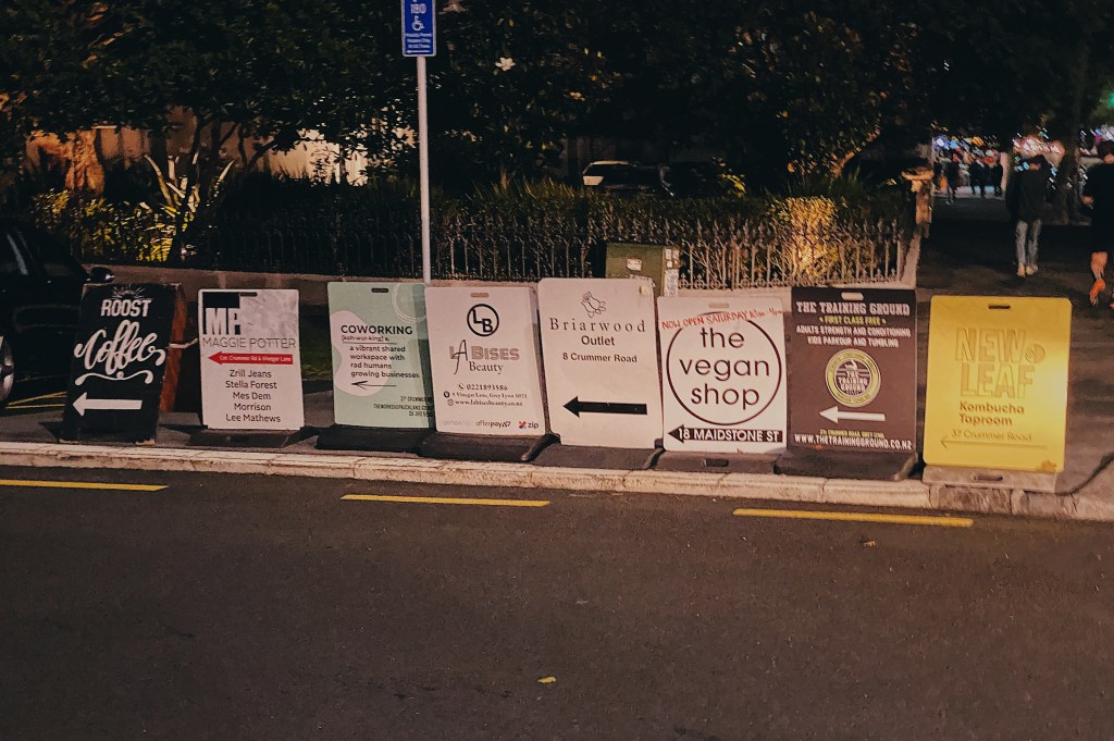
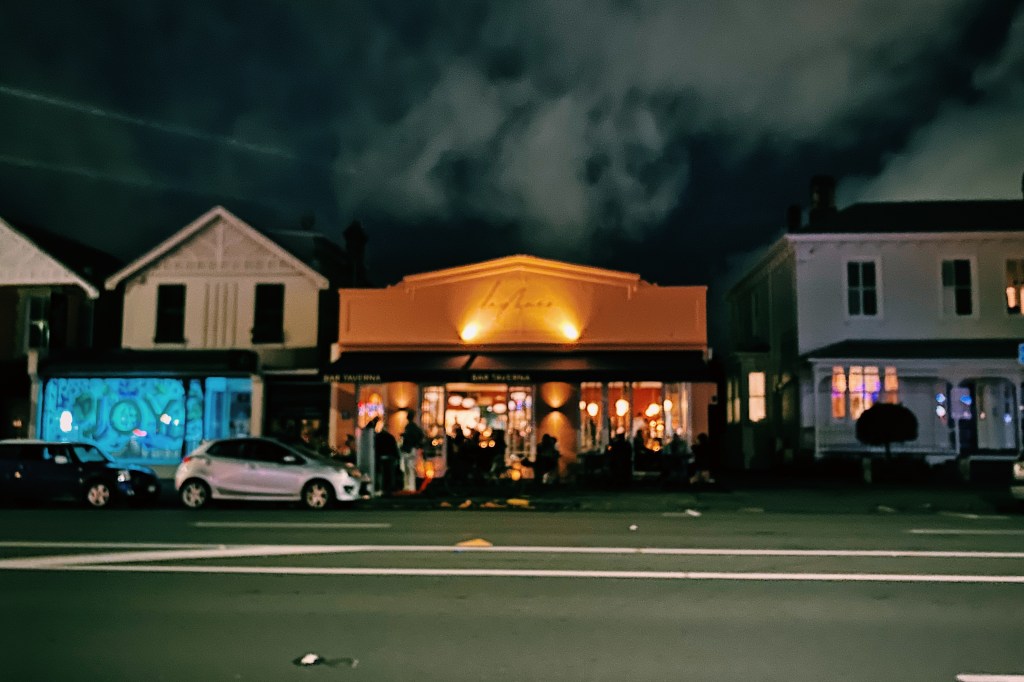
Three LampsAlways popular is ‘Prego’ which has been around since 1986Zambesi is a classic New Zealand designer that has been making trendy clothing since 1979.Many businesses in New Zealand also include a cafe. An example is Barkers, which includes a cafe and a barber in a men’s clothing store.The Women’s Bookshop is an awesome independent bookseller.About half way along Ponsonby Road is Ponsonby Central with a great array of upscale eateries and stores.Exploring Ponsonby CentralPonsonby CentralPonsonby CentralPonsonby CentralPonsonby CentralPonsonby CentralA couple of entries ago we pointed out Azubu restaurant in Mission Bay. Here is its sister, one of Auckland’s finest Japanese restaurants.Here is another example of combining a cafe with another business. This time with a florist.These signs gave a pretty good summary of the type of thing you’ll find in Ponsonby.The latest hot restaurant on the strip is the recently opened Daphne’s Bar Taverna, serving modern Greek food.If you’re in the market for comfortable and ‘oh so soft’ New Zealand athleisure wear, check out We’ar.A popular spot for after dinner strollers is Duck Island ice cream
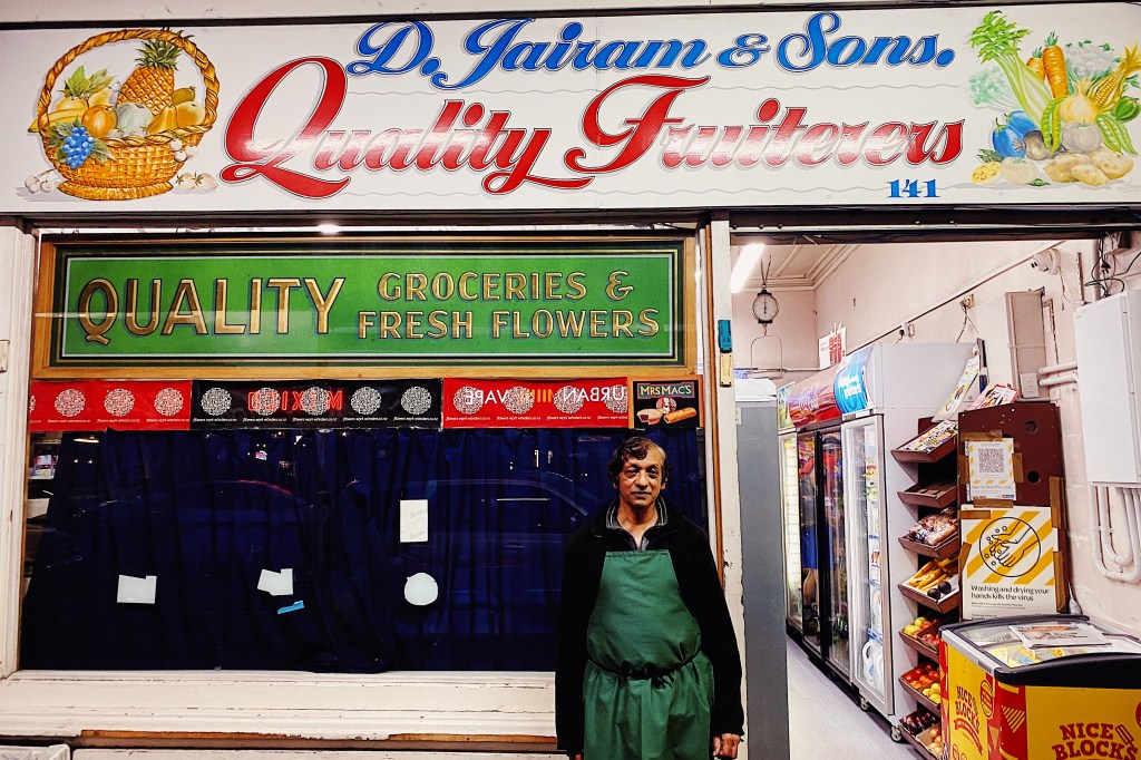
During the walk we stopped and chatted briefly with Suresh, the proprietor of D. Jairam & Sons, Quality Fruiterers. A couple of weeks before, we had watched a fascinating history on Dairies in New Zealand and Suresh and his small store took a starring role. As we have discussed in earlier posts, Dairies are what Kiwis call small neighborhood stores or bodegas. Suresh’s grandfather had arrived in New Zealand in 1915 and quickly got a job in a general store on Ponsonby Road. Suresh’s father had come out to New Zealand as a 12 or 13 year old and went to work helping his father. Suresh is the third generation working at the shop. Both of his sons have trained as engineers and have no interest in taking over the store so it appears that Suresh will be the last of the family line to run it. It is a tough way to earn a living and he and his wife work incredibly long hours. Most days he wakes well before dawn and drives to the flower market to buy flowers which are popular with the locals and the store stays open well into the evening.
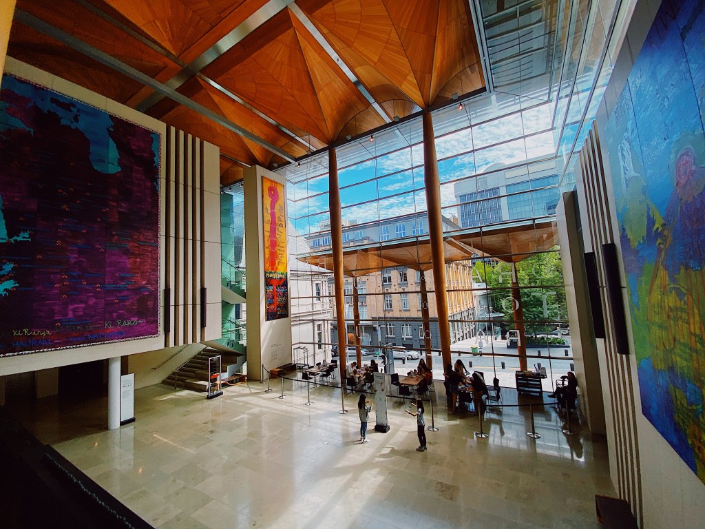
The Auckland Art Gallery (Toi o Tamaki) is the principal public art gallery in Auckland. The original gallery that was constructed in 1887 in French Renaissance style has been through a number of extensions and renovations, culminating in a massive extension in 2011 that increased the exhibition space by 50%. It is a beautiful addition and the redevelopment has received numerous international architectural awards, including the World Architecture Festival’s 2013 World Building of the Year. We were accompanied on our visit by Mal’s cousin, Annette, and her husband, Neil. Neil just happens to have been one of the architects that worked on the 2011 redevelopment so it was nice to explore the building with one of the people who made it possible.
Annette and NeilNeil checks out his good work.
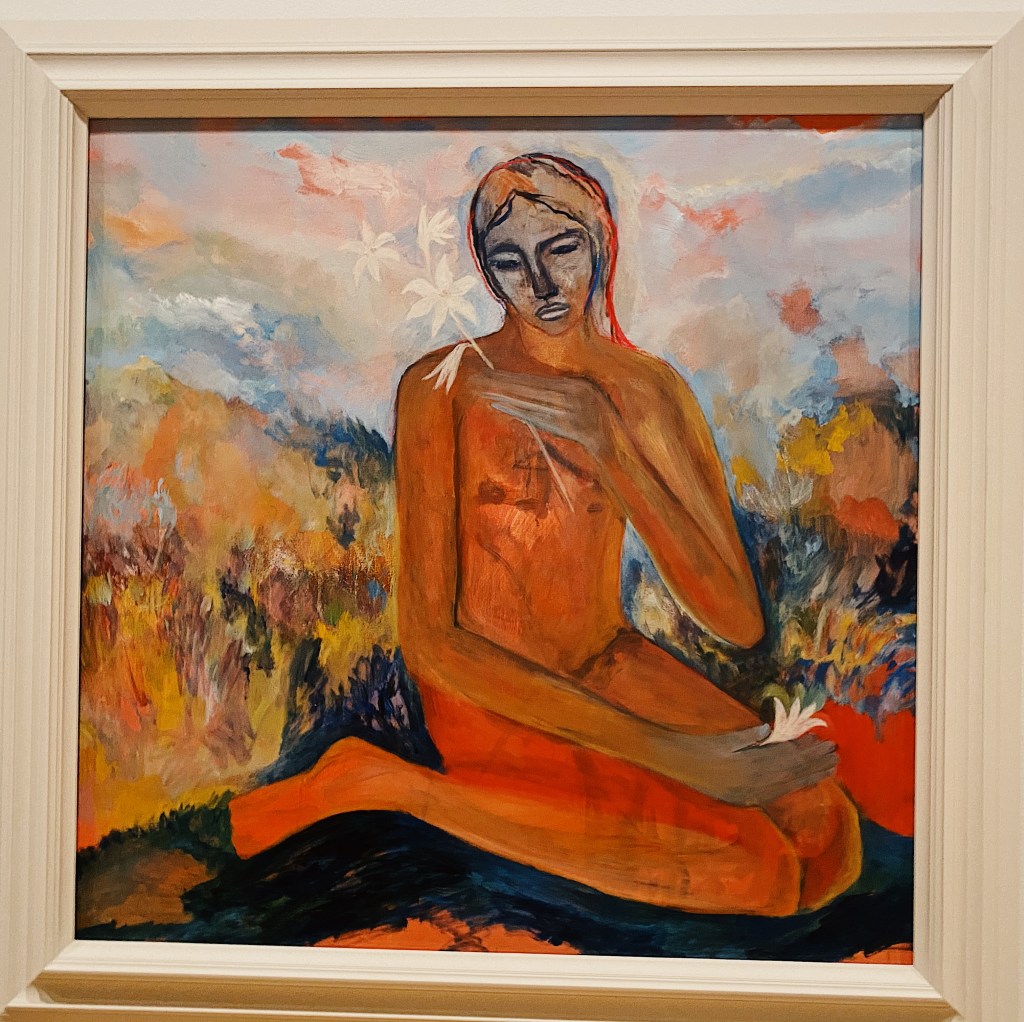
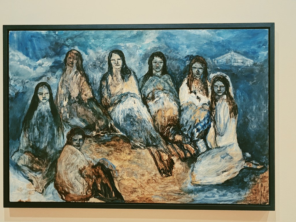
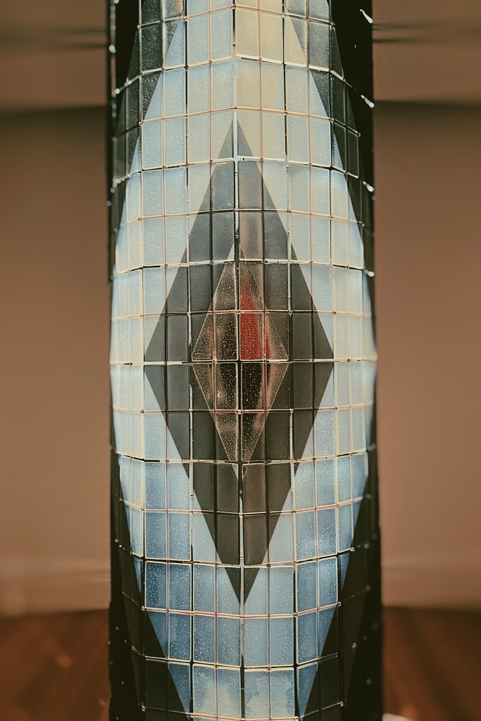
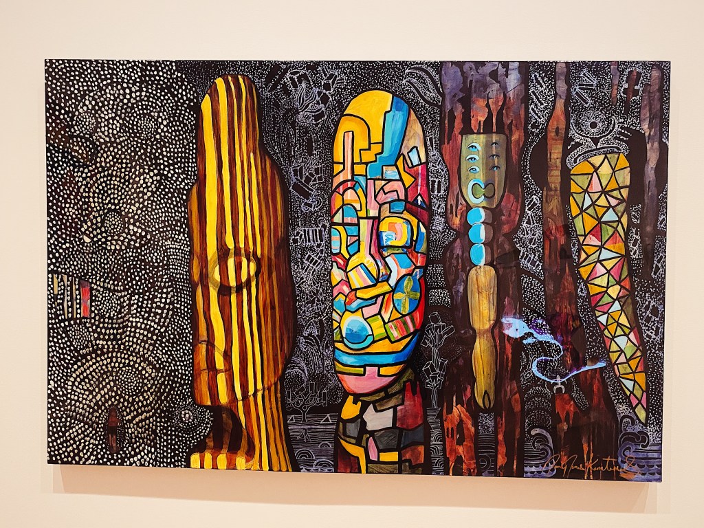
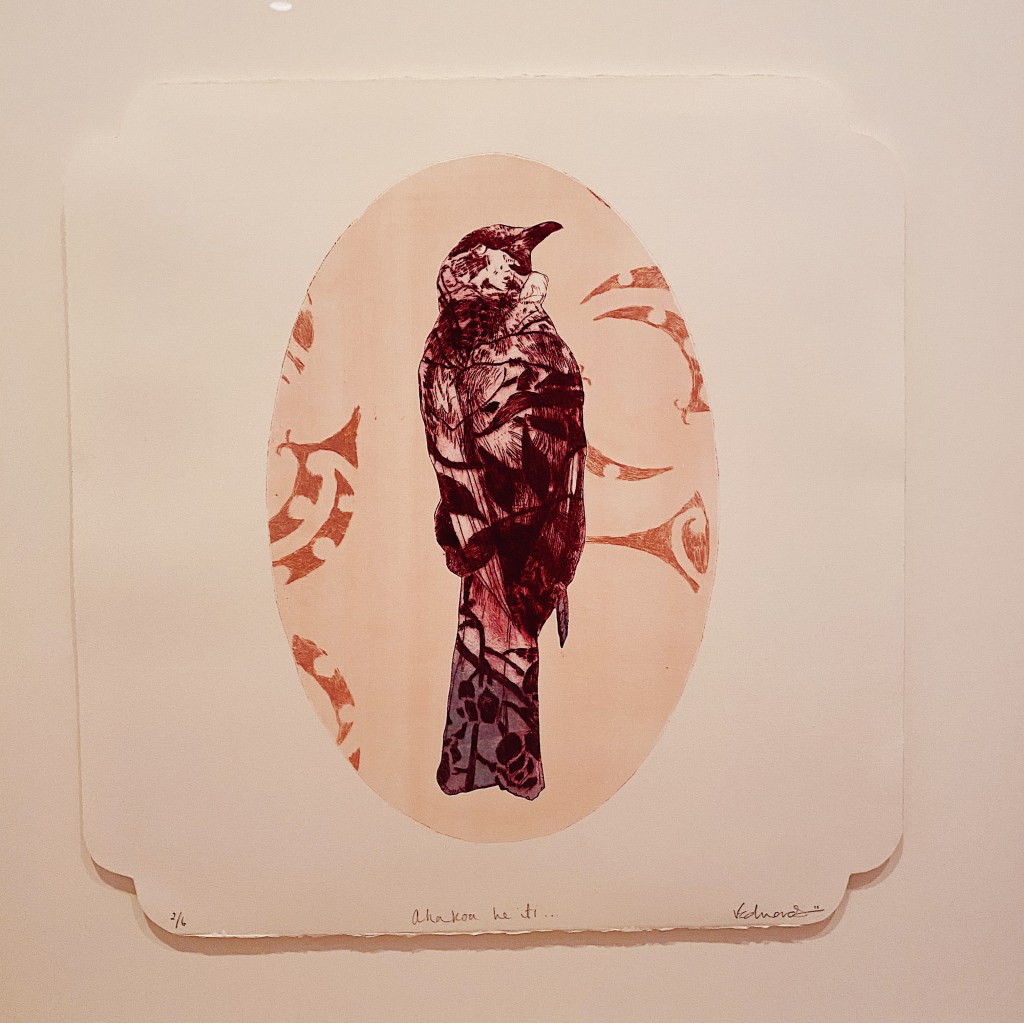
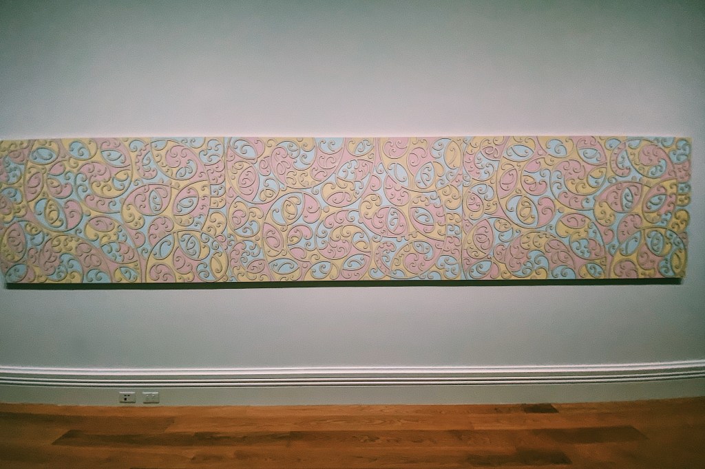
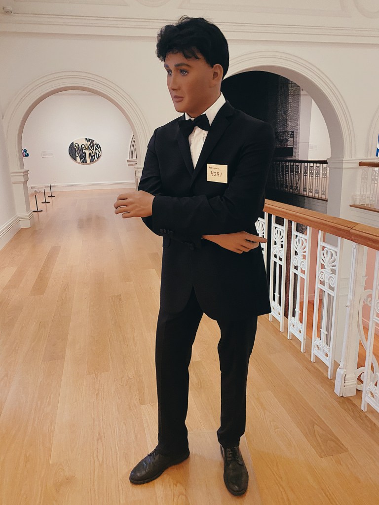
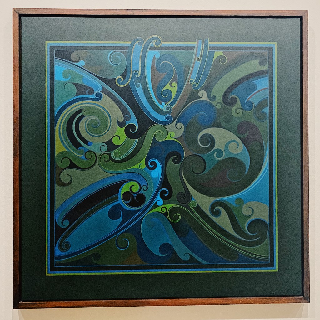
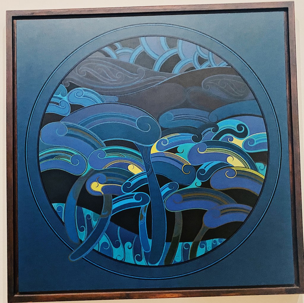
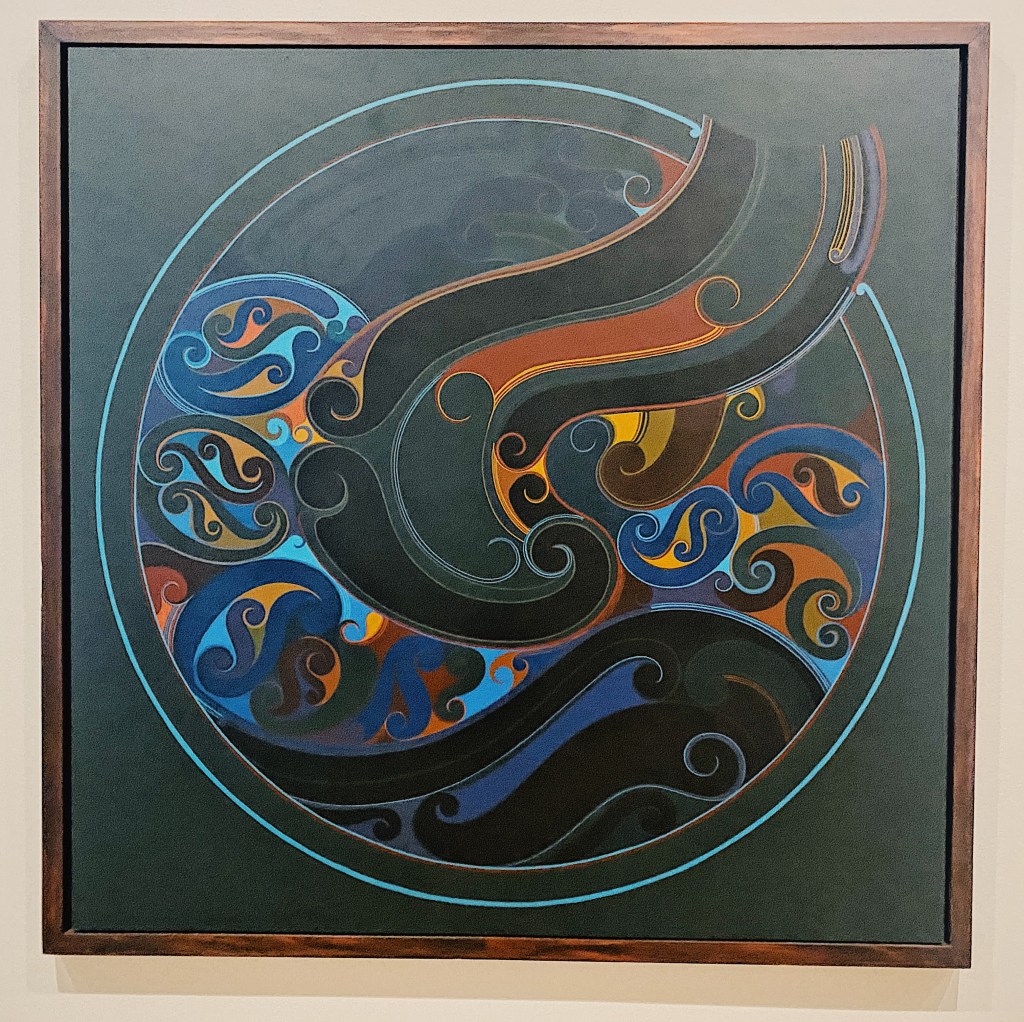
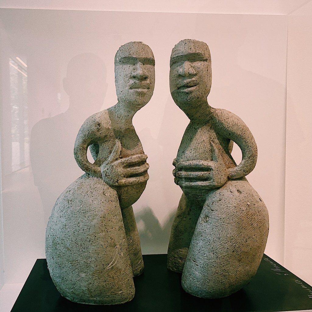
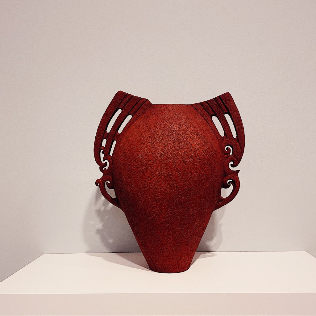
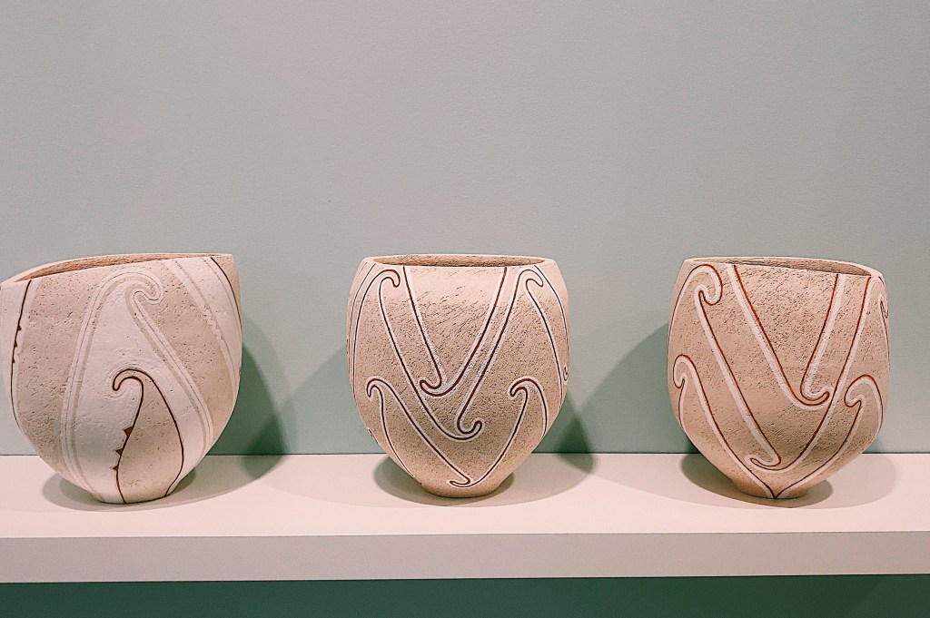
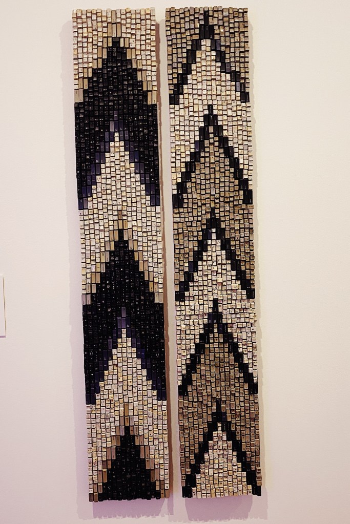
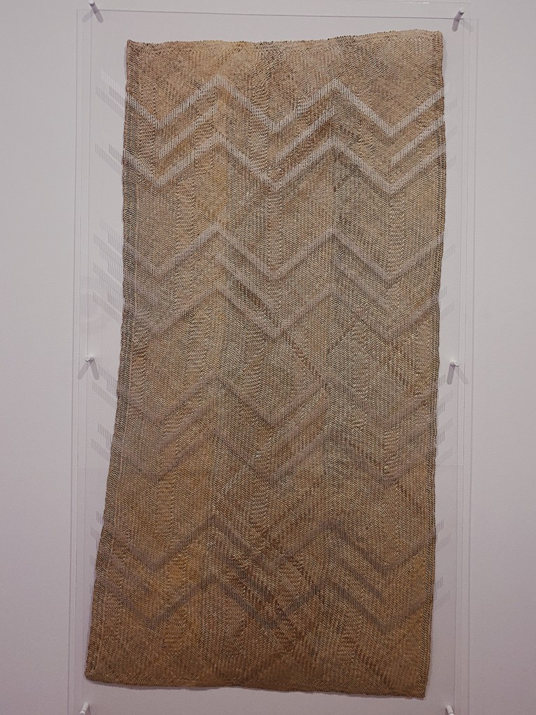
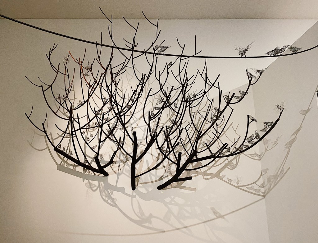
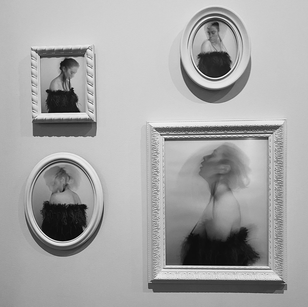
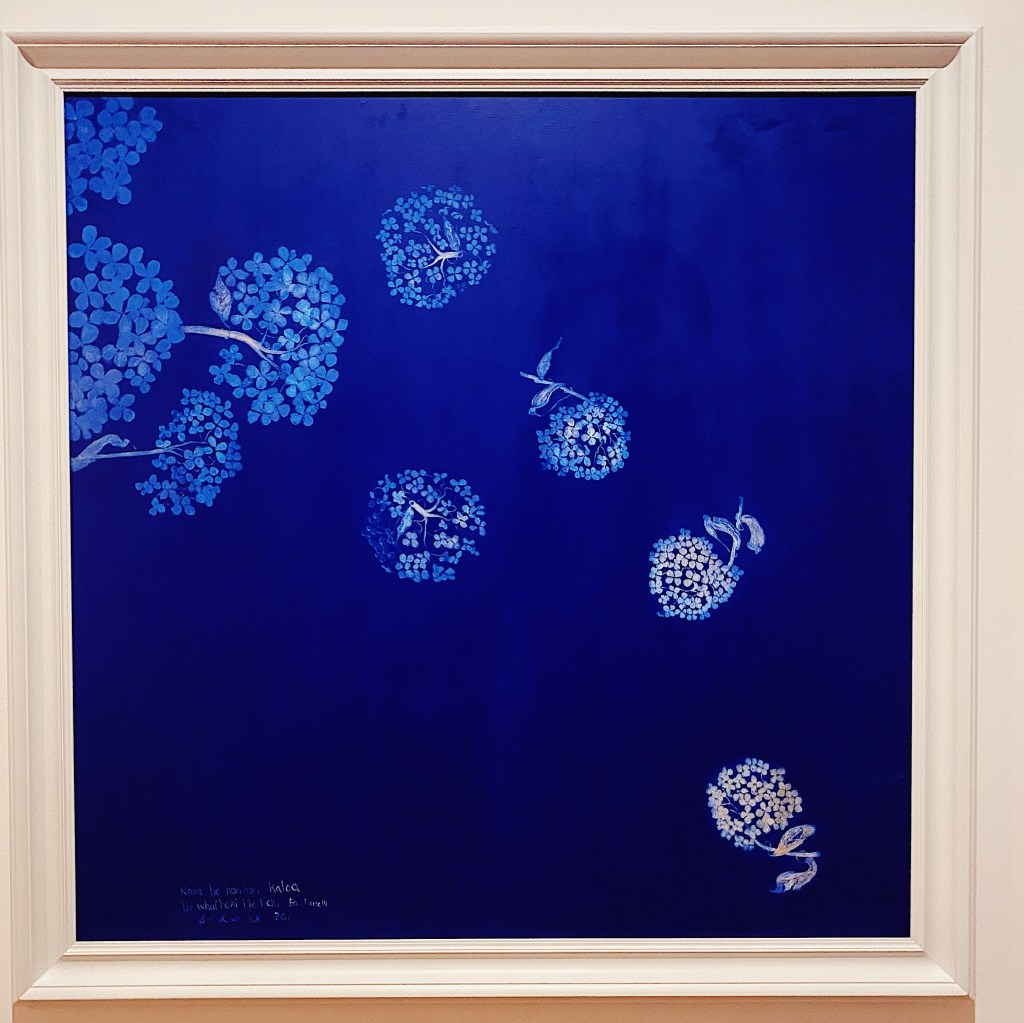
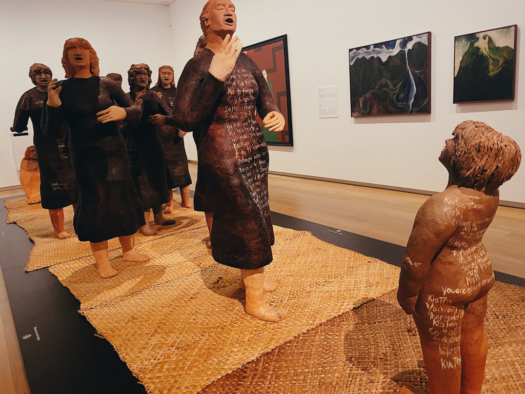
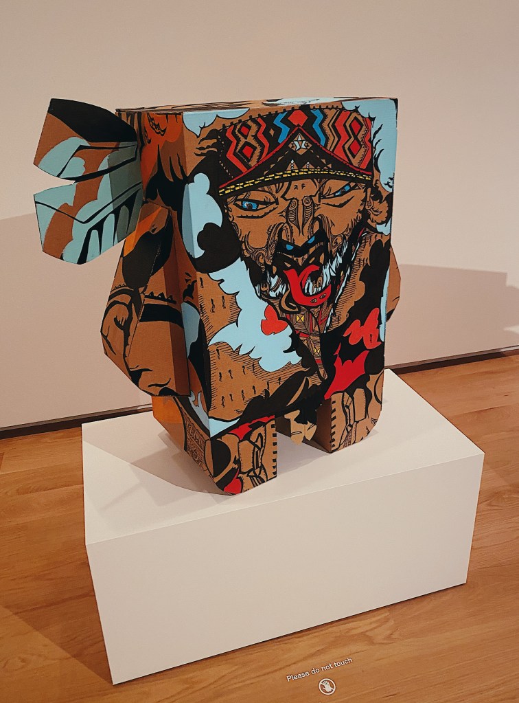
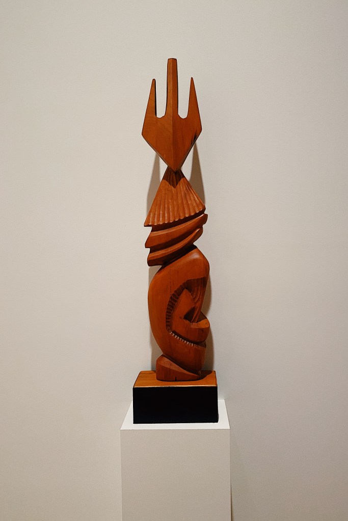
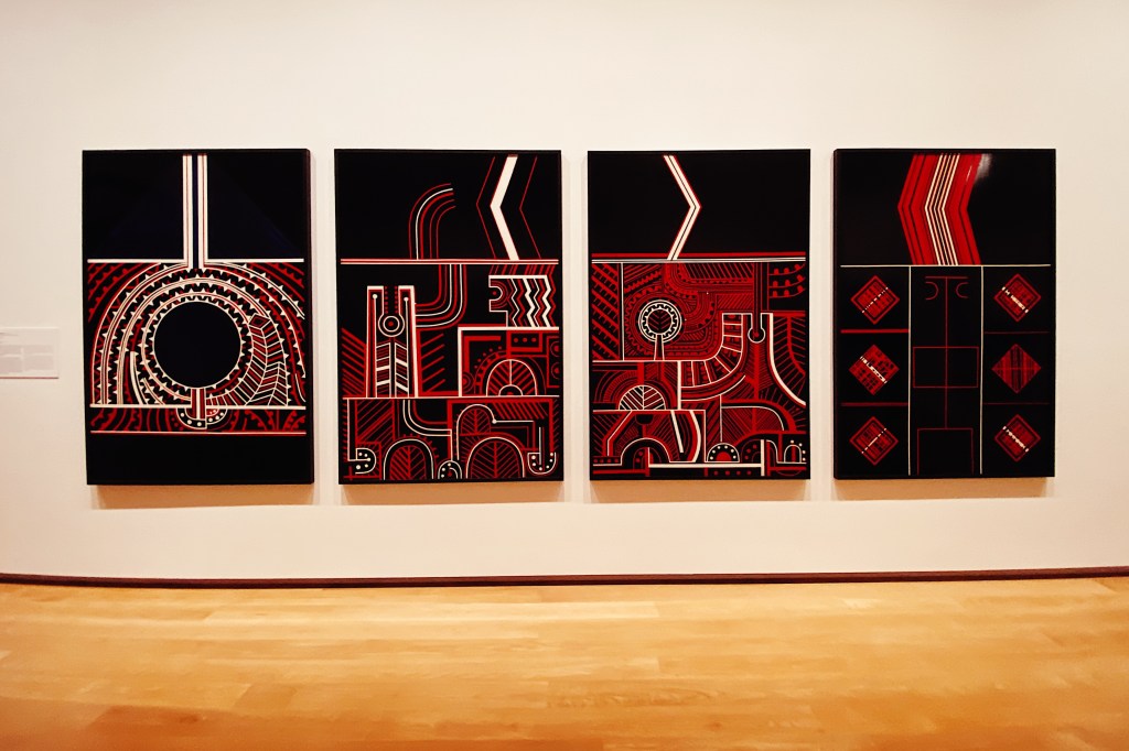
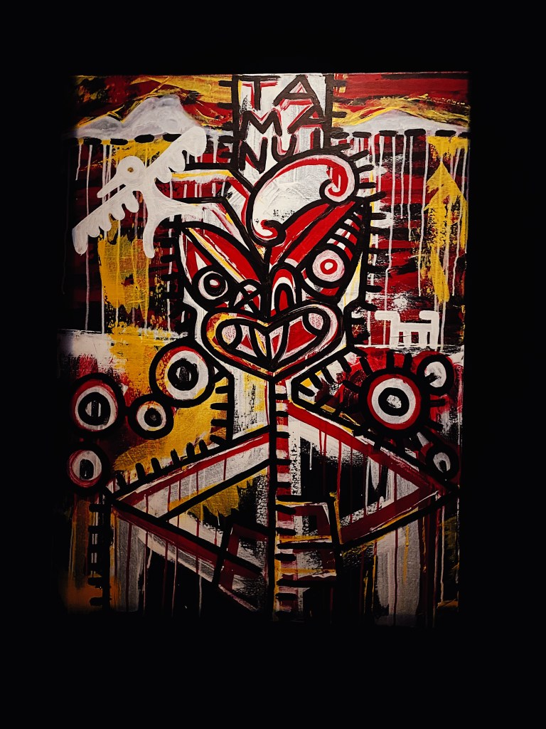
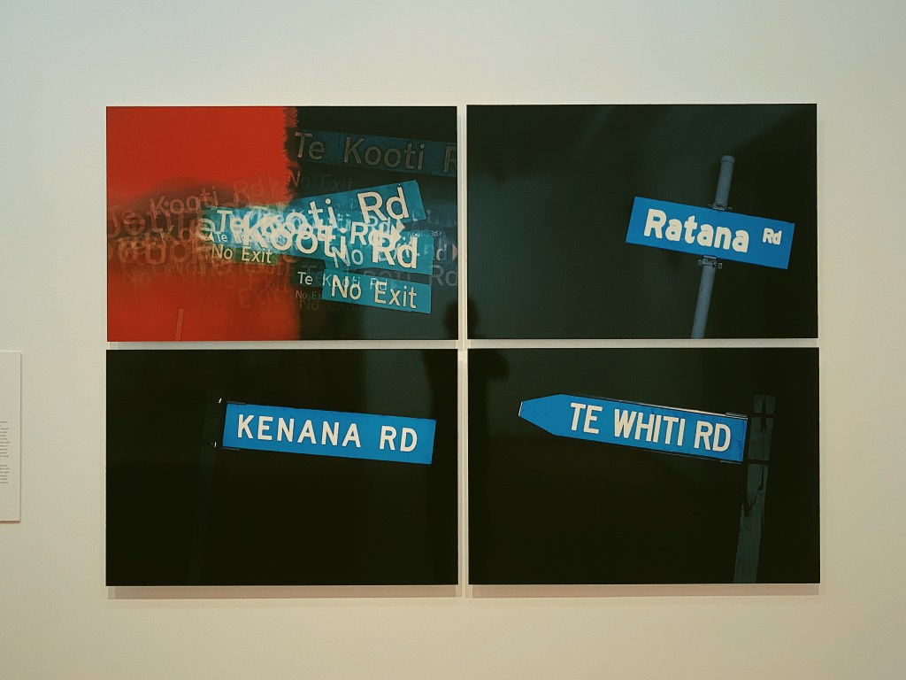
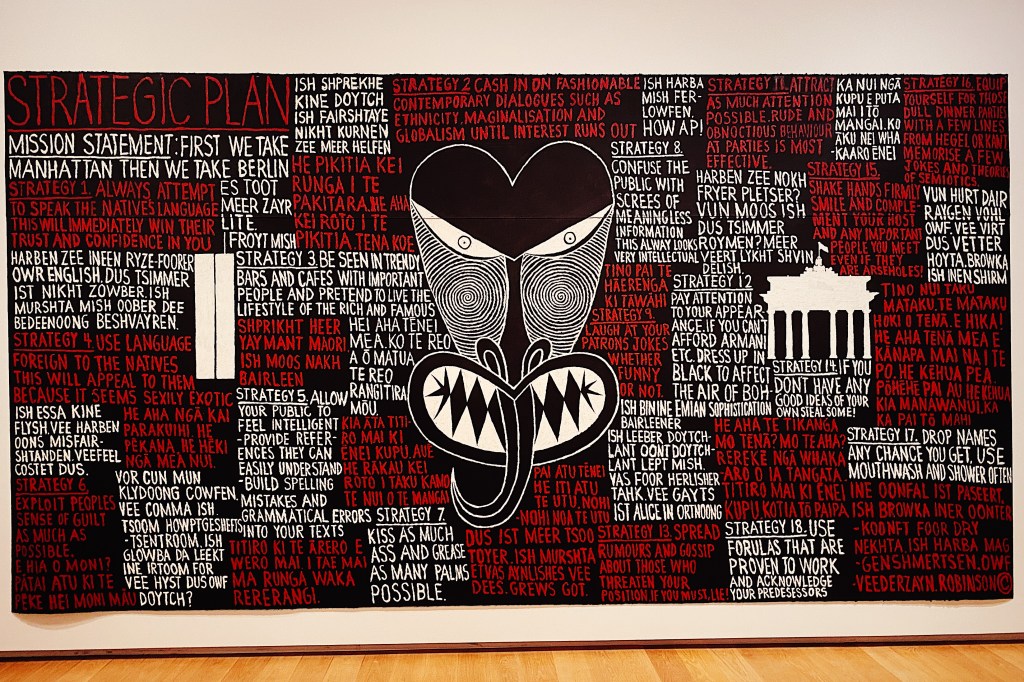
At the moment the gallery is showing a massive exhibit of contemporary Maori art. If you live in the Auckland area and have not yet seen the exhibit then delay no longer. It is one of the best exhibits that we have ever seen. For those that aren’t able to make the exhibit here are photos of our favorite pieces. Of course, it’s not like seeing the works in person and its impossible to get the color and scale and texture of the original works but it will give you an idea of the strength and versatility to contemporary Maori art. We’ll start with Lauren’s favorite work, a beautifully shot movie portraying the Maori creation myth, created by Lisa Reihana
Completed in 1932, Tamaki Drive follows the coastline east from downtown Auckland through Okahu Bay, Mission Bay and Kohimarama before coming to an end in St. Heliers. It is about five miles long and, as practically the only flat street in Auckland, is popular with walkers, joggers and cyclists. The beaches are also very nice and the water is swimmable.
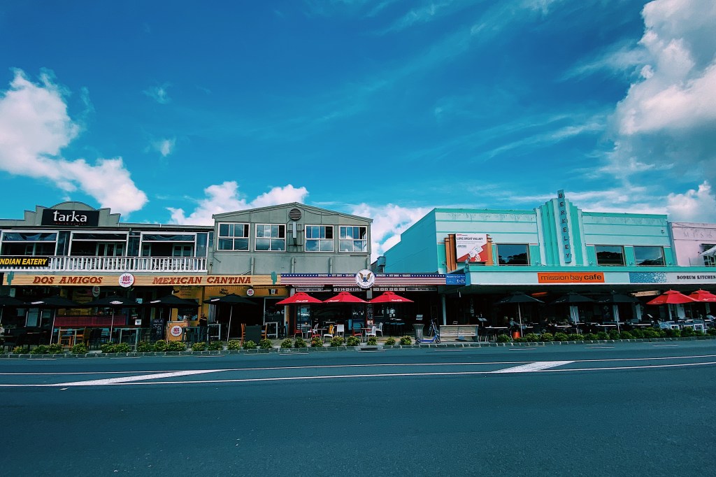
The most lively of the bays is Mission Bay which is lined by restaurants and shops and has a large park next to the beach.
The deco style Berkeley is no longer a movie theater but we remember going to movies there back in the eighties. At that time, they had intermissions half way through the movie and an ice cream seller would walk down the aisle with a tray of vanilla ice cream cones for sale. It all seems very quaint now.
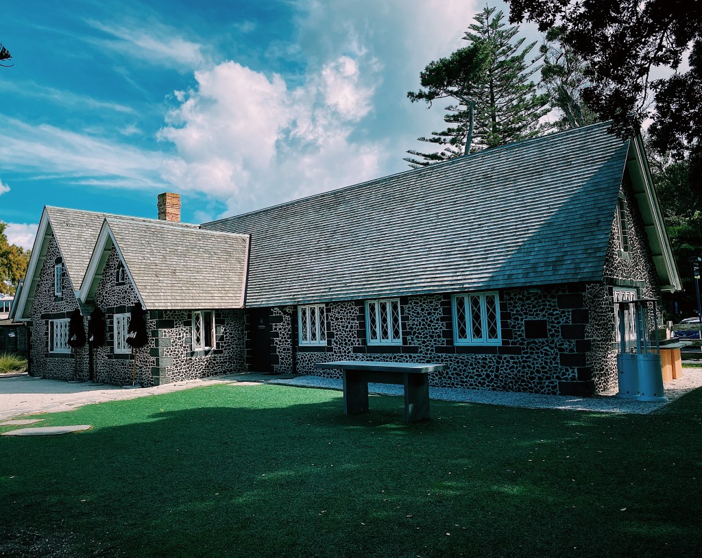
The bay takes its name from the Melanesian Mission which was established in the bay at the end of the 1840s. The stone buildings that remain date from 1858 and are built of scoria rock, quarried on the volcanic island of Rangitoto, which sits offshore. These days, a high-end Japanese restaurant is connected to the original mission building.
Speaking of Rangitoto, there are great views of the volcano from all of the bays.
Rangitoto is the youngest and largest of the approximately fifty volcanoes in the Auckland area, having formed in an eruption about 600 years ago. Rangitoto means ‘Bloody Sky’ in Maori which seems particularly apt for a volcano.
There are still some beautiful older houses and buildings in Mission Bay.
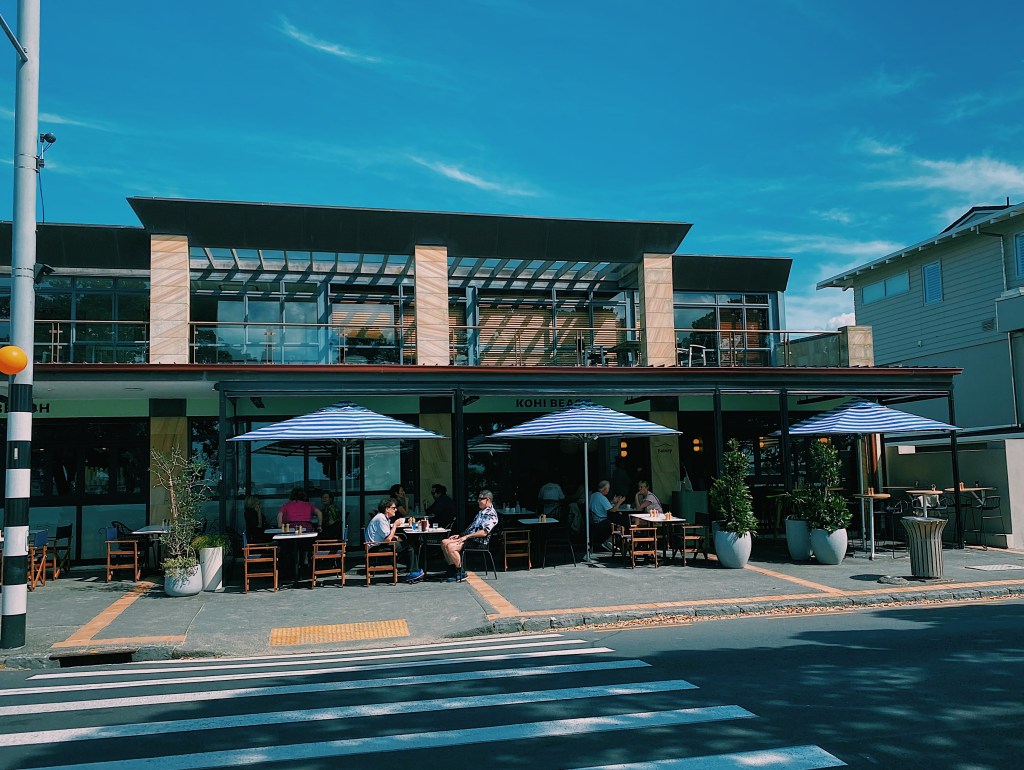
The next bay around from Mission Bay is Kohimarama, commonly called Kohi. It is less lively than Mission Bay but has a very nice cafe and a beautiful beach, lined by shady pohutukawa trees. Kohimarama refers to the gathering together of scattered wood chips from the carving of waka (canoes). The name also reflects the gathering together of divided peoples of different origins and waka after conflict.
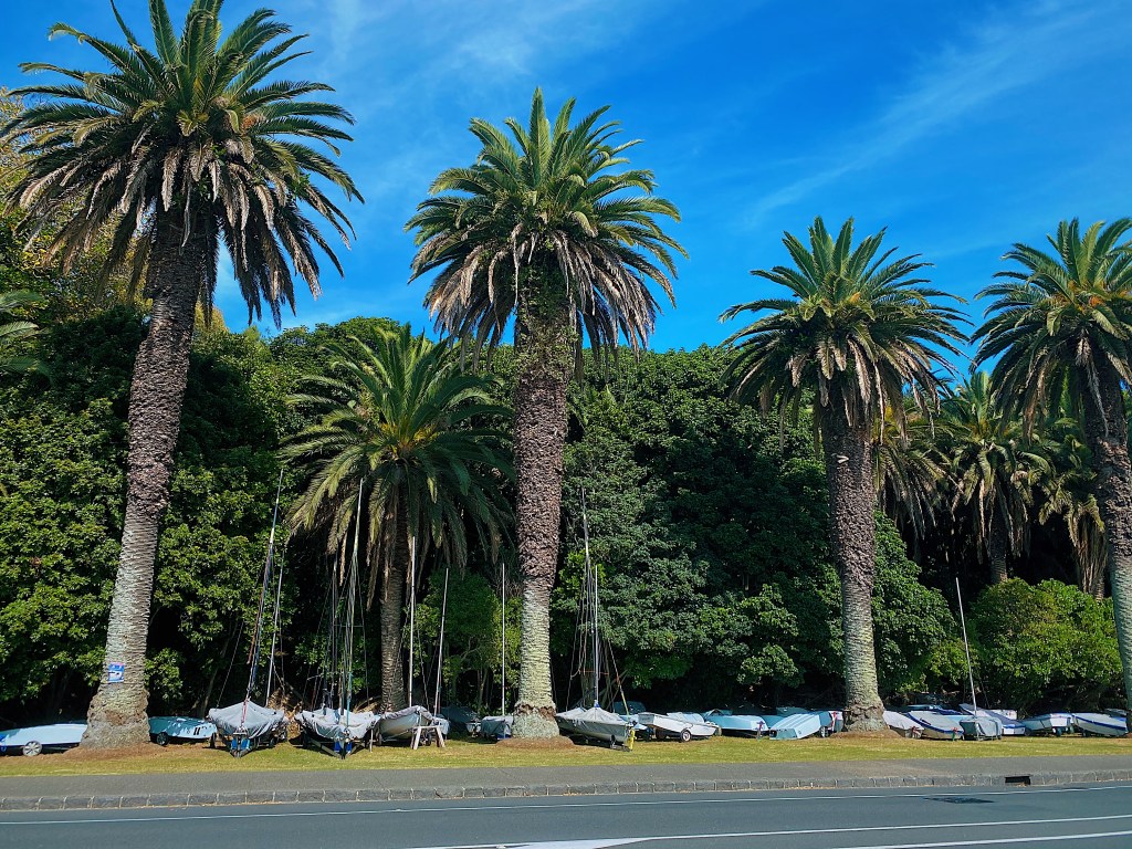
At the eastern end of the beach is a sailing club and these sail boats were resting under the palm trees.
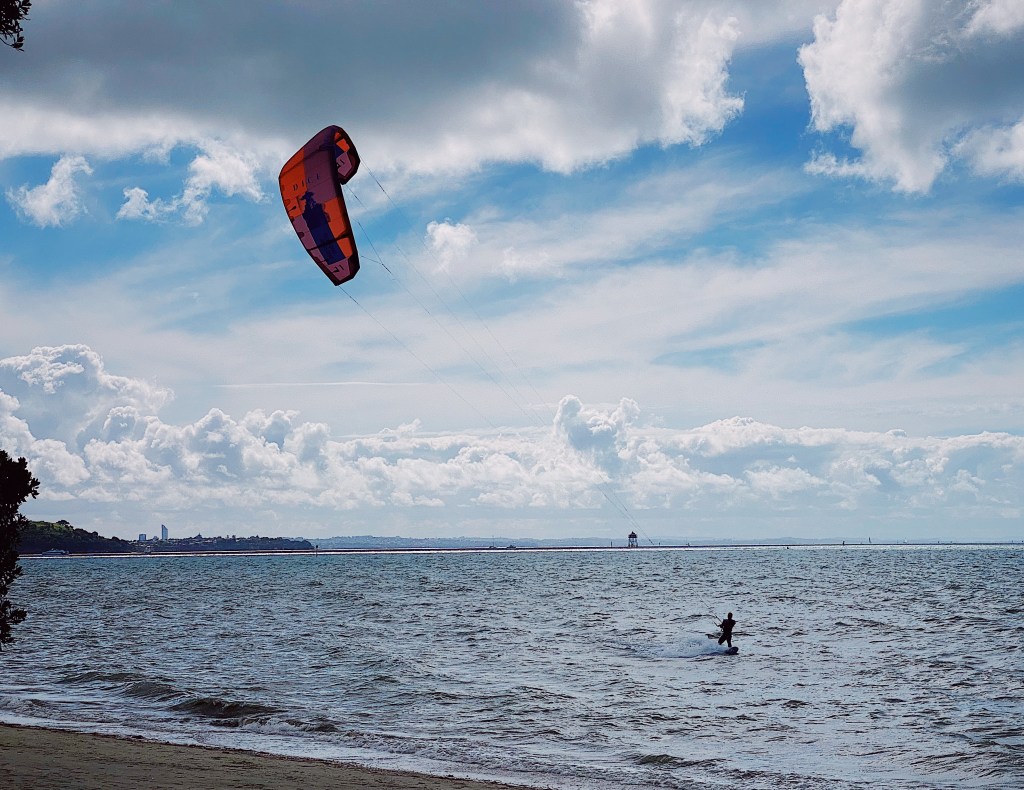
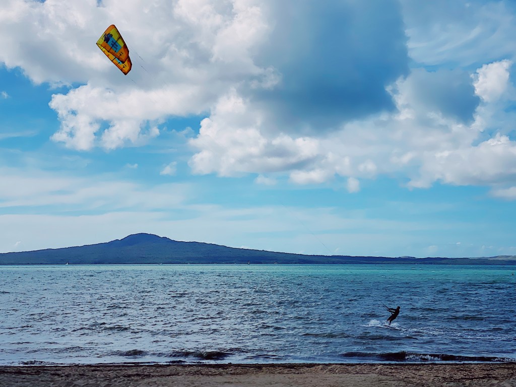
Speaking of sailing, the kite surfers were taking full advantage of the breezy day.
Mal spent his teenage years living with his parents in St. Heliers in the white apartment building in the following photo.
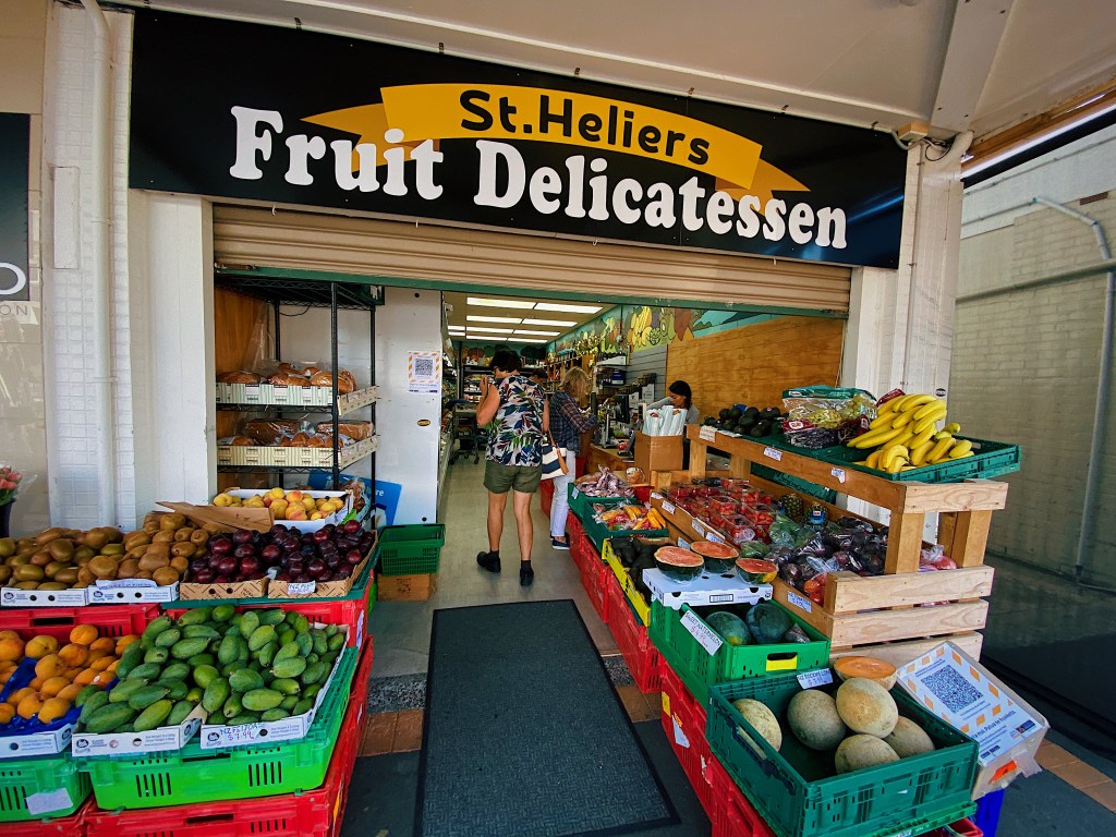
Looking back, he doesn’t remember realizing the idyllic nature of his neighborhood. Which probably had something to do with his being a teenager at the time. The neighborhood has not changed that much. The local fruit and vegetable store and small grocery store look much the same.
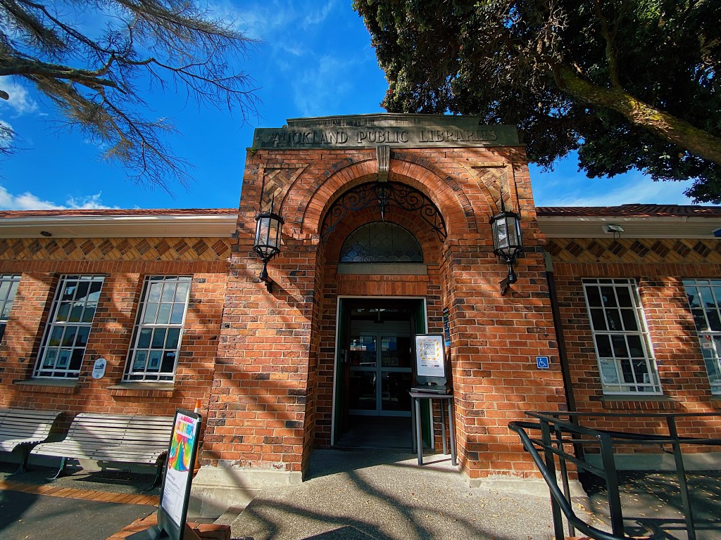
As does the local library.
This is the bus stop where Mal used to catch the bus to school.
Here are the shops and restaurants.
And here is the beach.
Time to sit and enjoy the view for a bit before walking back to Mission Bay.