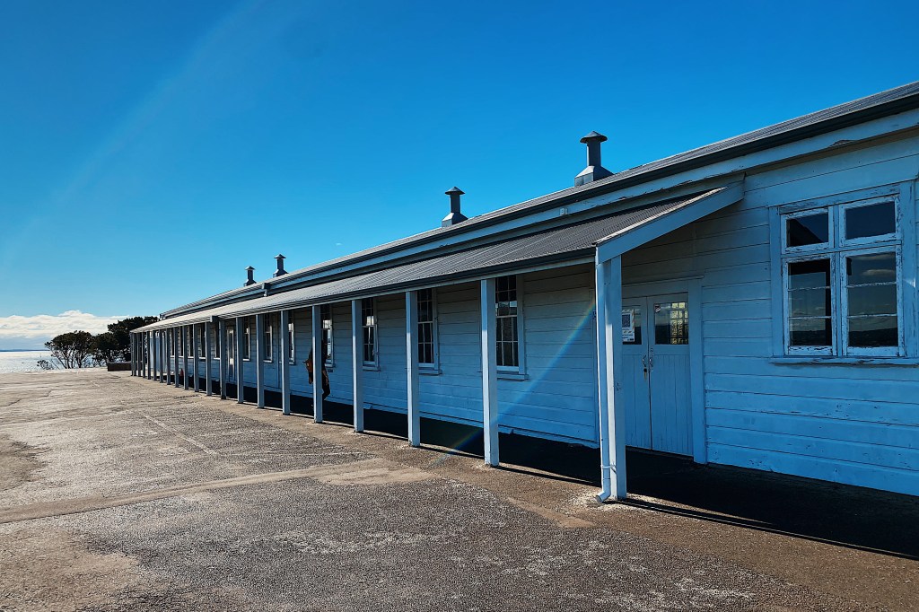
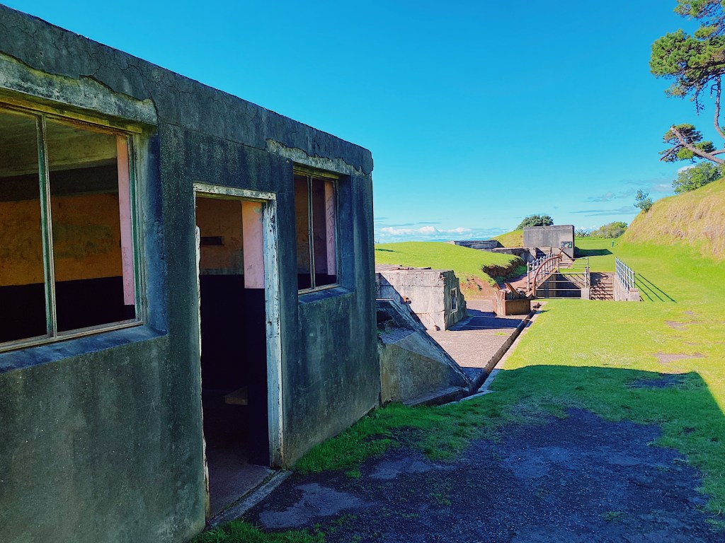
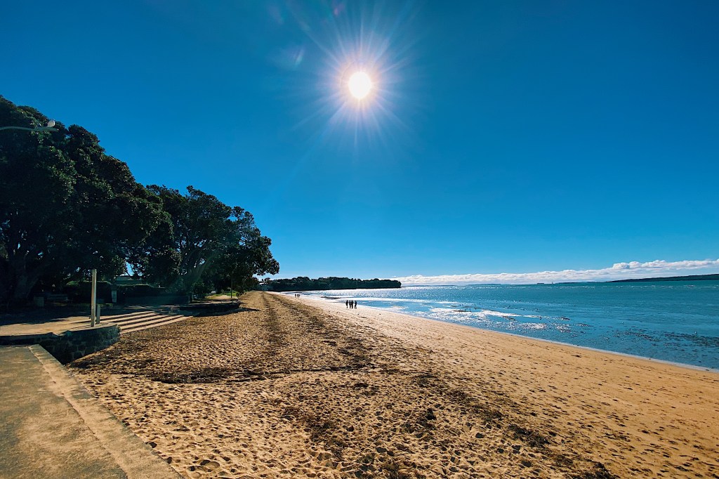
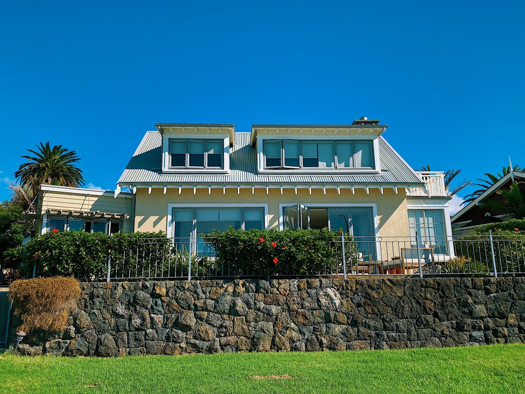
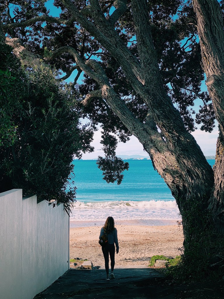
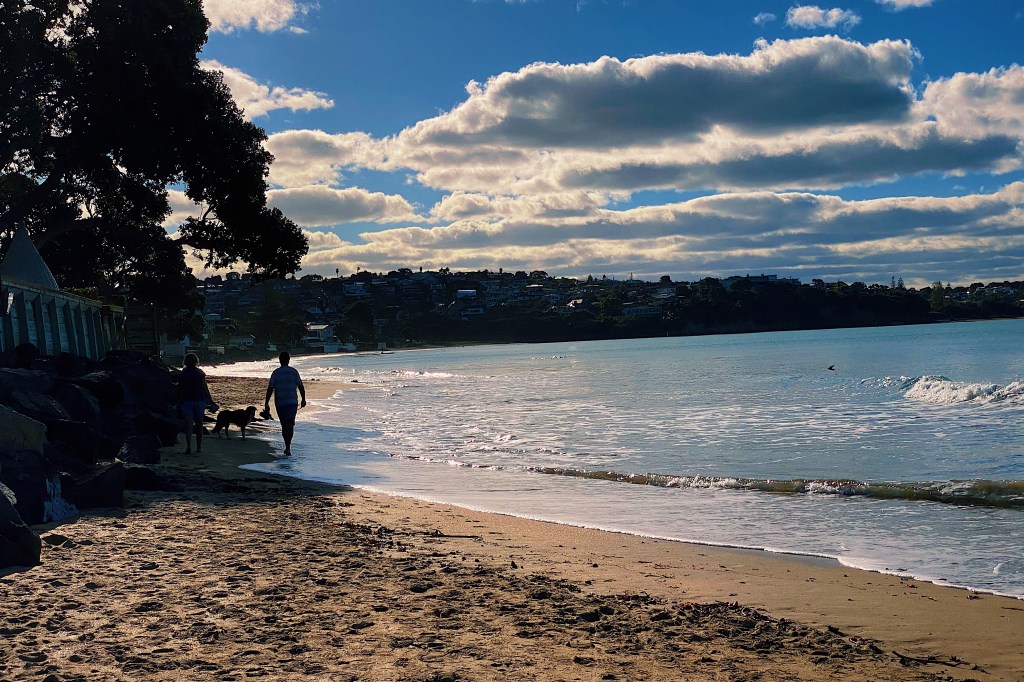
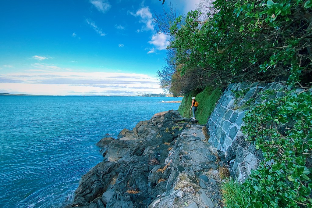
We just spent an awesome Easter weekend at the beach town of Whangamata with our dear friends Dave and Jac, their son Nick and his partner Nicole. Whangamata comes from the Maori words ‘whanga’ meaning bay and ‘mata’ meaning stone, and refers to the obsidian which washes up on the beach. The permanent population of the town is under 5,000 but can swell to as much as 25,000 over the Summer months. Indeed, the town was teeming with kiwis getting in their last beach fix of the year before winter sets in. The town, which is about a two hour drive from Auckland, has two long sweeping beaches with gentle waves that are perfect for what appeared to be many beginner surfers.
Just offshore are some beautiful islands.
At the south end of the beach, a narrow green river flows into the ocean.
Our gracious hosts, Dave and Jac
The tide had left some beautiful patterns on the sand.
At the north end of the beaches is a boating harbor with a large marina.
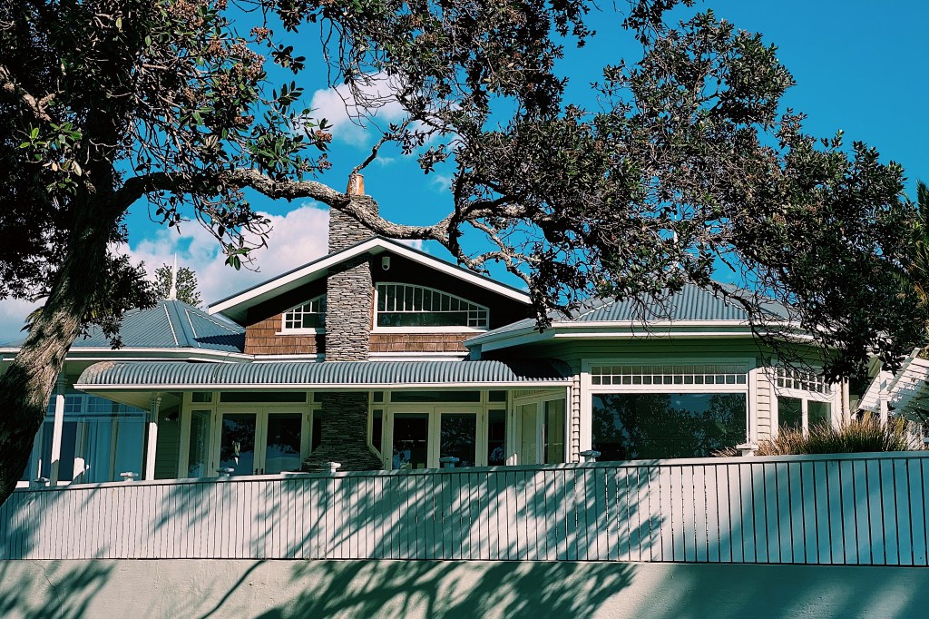
While the beaches are lined with homes that sell for millions of dollars, there are still some small classic kiwi baches in the town.
Speaking of classics, we liked this VW Beetle.
\After a walk around town, it was time to head back to the beach.
On our last morning, we kayaked out to one of the offshore islands. It’s name is Whenuakura but it is commonly known as Donut Island. The island has a collapsed blow hole at its center which has formed a small idyllic cove that is only accessible through a narrow cave, hence the name.
After dinner, we decided to go for a walk along the length of Ponsonby Road. For DC residents, Ponsonby Road is best likened to 14th Street, but on steroids. Along its length are scores of restaurants, cafes and boutique stores. Even on a Tuesday night it was bustling. Many of the early street names in Auckland were derived from military officers involved in the Napoleonic Wars. The Ponsonby area that sits along the western side of the Ponsonby Road has a number of examples, including Collingwood, Cockburn, Anglesey, Picton and Vandeleur. So it appears likely that Ponsonby Road is named for General Sir William Ponsonby who was at Waterloo. The Maori name for the ridge along which the road runs is ‘Te Rimu Tahi’ which translates to ‘The Lone Rimu Tree’, which apparently refers to an ancient Rimu tree that stood on the ridge.
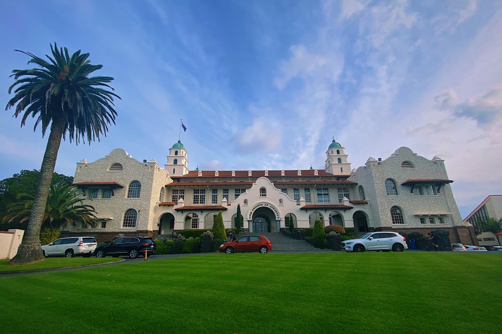
We started off at the north end in the area called “Three Lamps.” We are not sure how this part of the road got its name, but as you can see in the following photo, there is indeed a street light with three lamps.
The Gluepot Tavern
Standing behind the three lamps is the prior Gluepot Tavern. Until it closed in 1994, the Gluepot was a great place to catch local bands. We spent many a night there in the eighties enjoying such classic New Zealand bands as Hello Sailor, The Chills, and The Clean.
Here are some of the sites you will see walking along Ponsonby Road on any given night.
Three LampsAlways popular is ‘Prego’ which has been around since 1986Zambesi is a classic New Zealand designer that has been making trendy clothing since 1979.Many businesses in New Zealand also include a cafe. An example is Barkers, which includes a cafe and a barber in a men’s clothing store.The Women’s Bookshop is an awesome independent bookseller.About half way along Ponsonby Road is Ponsonby Central with a great array of upscale eateries and stores.Exploring Ponsonby CentralPonsonby CentralPonsonby CentralPonsonby CentralPonsonby CentralPonsonby CentralA couple of entries ago we pointed out Azubu restaurant in Mission Bay. Here is its sister, one of Auckland’s finest Japanese restaurants.Here is another example of combining a cafe with another business. This time with a florist.These signs gave a pretty good summary of the type of thing you’ll find in Ponsonby.The latest hot restaurant on the strip is the recently opened Daphne’s Bar Taverna, serving modern Greek food.If you’re in the market for comfortable and ‘oh so soft’ New Zealand athleisure wear, check out We’ar.A popular spot for after dinner strollers is Duck Island ice cream
During the walk we stopped and chatted briefly with Suresh, the proprietor of D. Jairam & Sons, Quality Fruiterers. A couple of weeks before, we had watched a fascinating history on Dairies in New Zealand and Suresh and his small store took a starring role. As we have discussed in earlier posts, Dairies are what Kiwis call small neighborhood stores or bodegas. Suresh’s grandfather had arrived in New Zealand in 1915 and quickly got a job in a general store on Ponsonby Road. Suresh’s father had come out to New Zealand as a 12 or 13 year old and went to work helping his father. Suresh is the third generation working at the shop. Both of his sons have trained as engineers and have no interest in taking over the store so it appears that Suresh will be the last of the family line to run it. It is a tough way to earn a living and he and his wife work incredibly long hours. Most days he wakes well before dawn and drives to the flower market to buy flowers which are popular with the locals and the store stays open well into the evening.
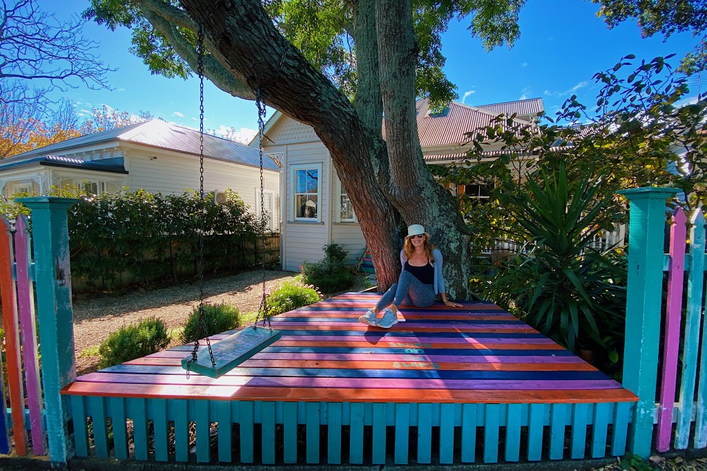
The Auckland Art Gallery (Toi o Tamaki) is the principal public art gallery in Auckland. The original gallery that was constructed in 1887 in French Renaissance style has been through a number of extensions and renovations, culminating in a massive extension in 2011 that increased the exhibition space by 50%. It is a beautiful addition and the redevelopment has received numerous international architectural awards, including the World Architecture Festival’s 2013 World Building of the Year. We were accompanied on our visit by Mal’s cousin, Annette, and her husband, Neil. Neil just happens to have been one of the architects that worked on the 2011 redevelopment so it was nice to explore the building with one of the people who made it possible.
Annette and NeilNeil checks out his good work.
At the moment the gallery is showing a massive exhibit of contemporary Maori art. If you live in the Auckland area and have not yet seen the exhibit then delay no longer. It is one of the best exhibits that we have ever seen. For those that aren’t able to make the exhibit here are photos of our favorite pieces. Of course, it’s not like seeing the works in person and its impossible to get the color and scale and texture of the original works but it will give you an idea of the strength and versatility to contemporary Maori art. We’ll start with Lauren’s favorite work, a beautifully shot movie portraying the Maori creation myth, created by Lisa Reihana
Completed in 1932, Tamaki Drive follows the coastline east from downtown Auckland through Okahu Bay, Mission Bay and Kohimarama before coming to an end in St. Heliers. It is about five miles long and, as practically the only flat street in Auckland, is popular with walkers, joggers and cyclists. The beaches are also very nice and the water is swimmable.
The most lively of the bays is Mission Bay which is lined by restaurants and shops and has a large park next to the beach.
The deco style Berkeley is no longer a movie theater but we remember going to movies there back in the eighties. At that time, they had intermissions half way through the movie and an ice cream seller would walk down the aisle with a tray of vanilla ice cream cones for sale. It all seems very quaint now.
The bay takes its name from the Melanesian Mission which was established in the bay at the end of the 1840s. The stone buildings that remain date from 1858 and are built of scoria rock, quarried on the volcanic island of Rangitoto, which sits offshore. These days, a high-end Japanese restaurant is connected to the original mission building.
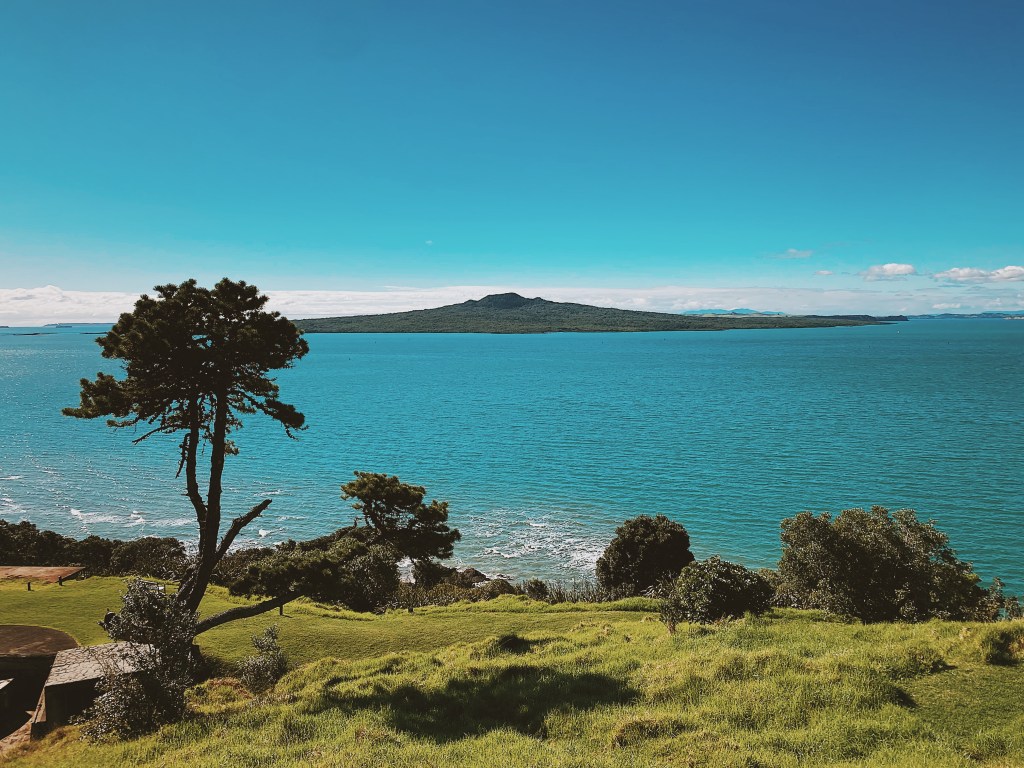
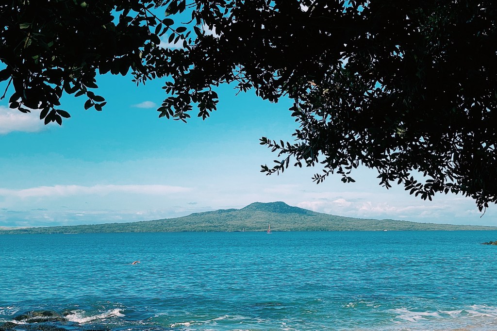
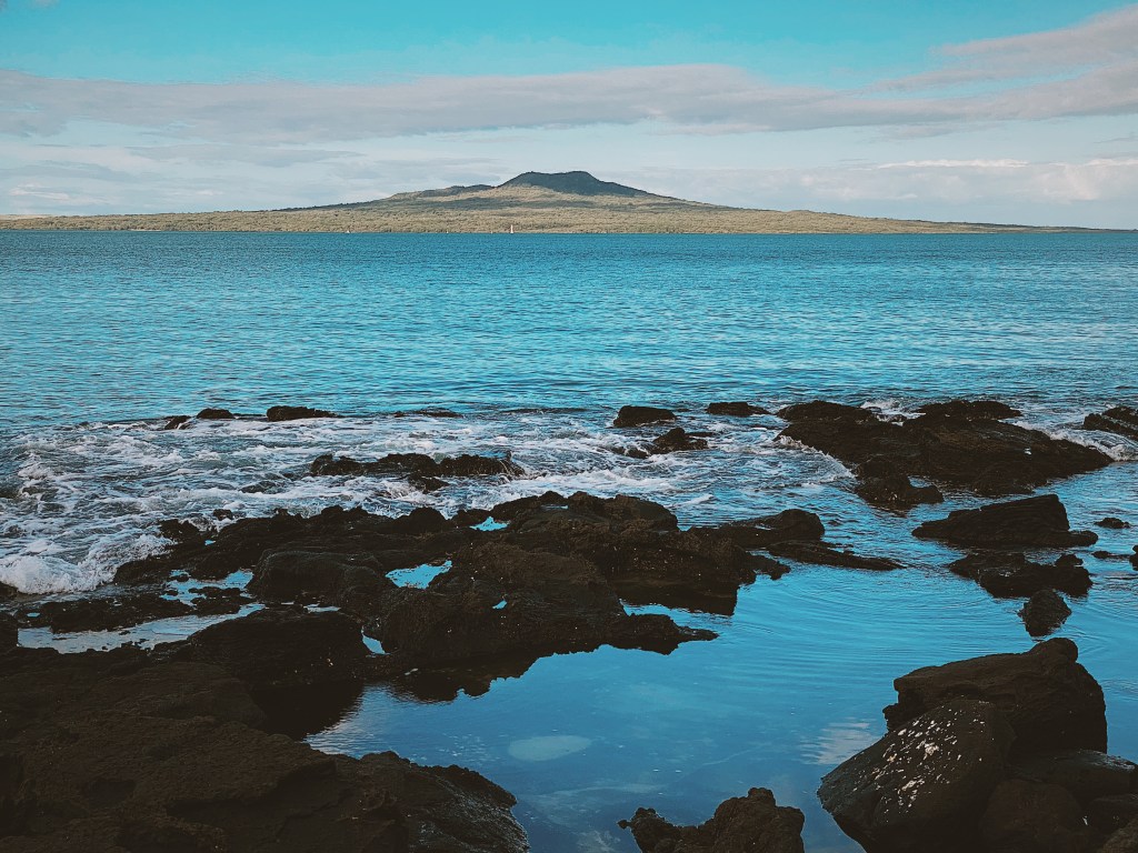
Speaking of Rangitoto, there are great views of the volcano from all of the bays.
Rangitoto is the youngest and largest of the approximately fifty volcanoes in the Auckland area, having formed in an eruption about 600 years ago. Rangitoto means ‘Bloody Sky’ in Maori which seems particularly apt for a volcano.
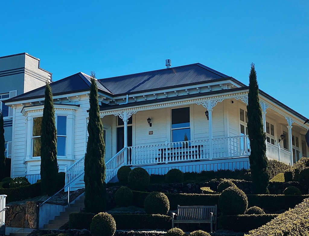
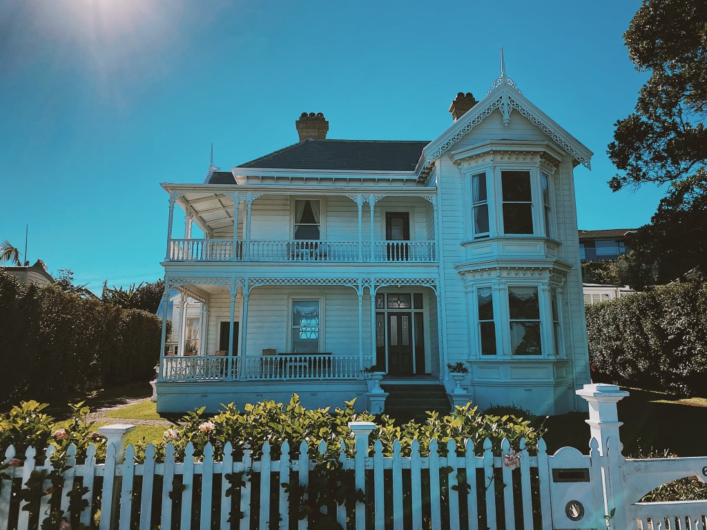
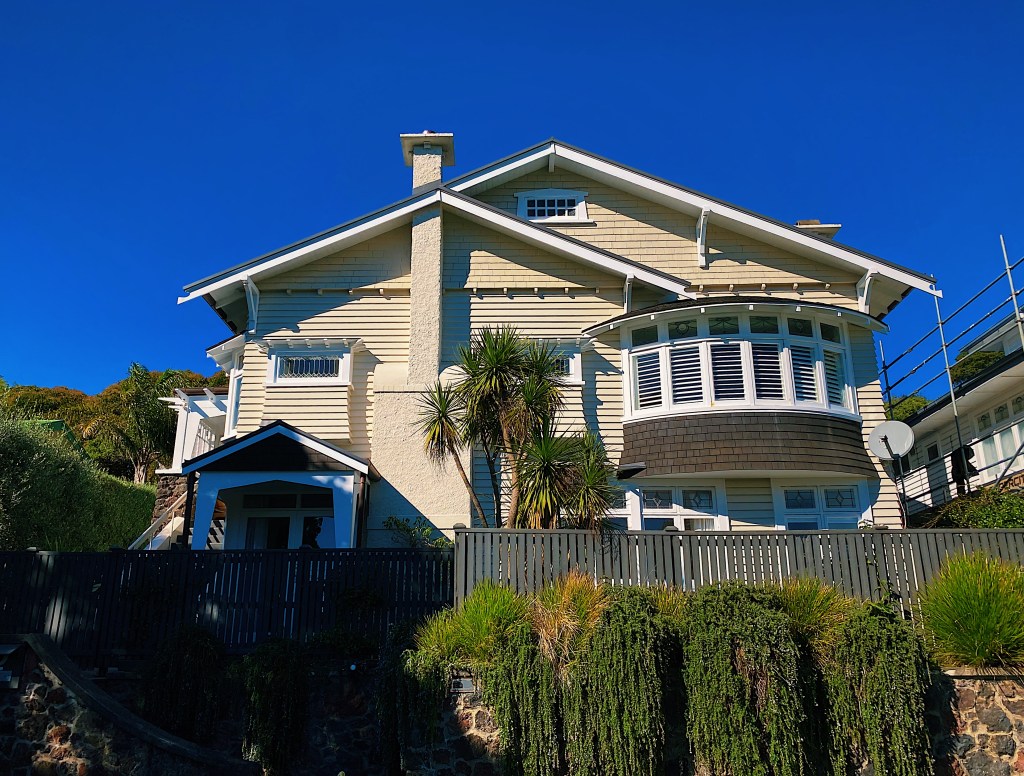
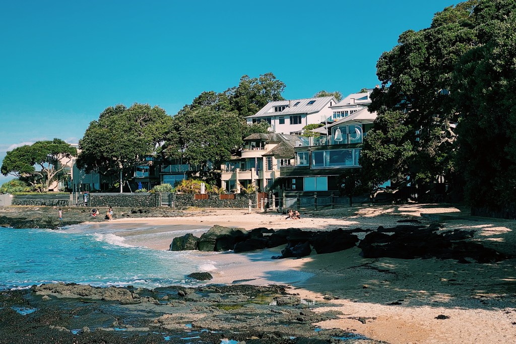
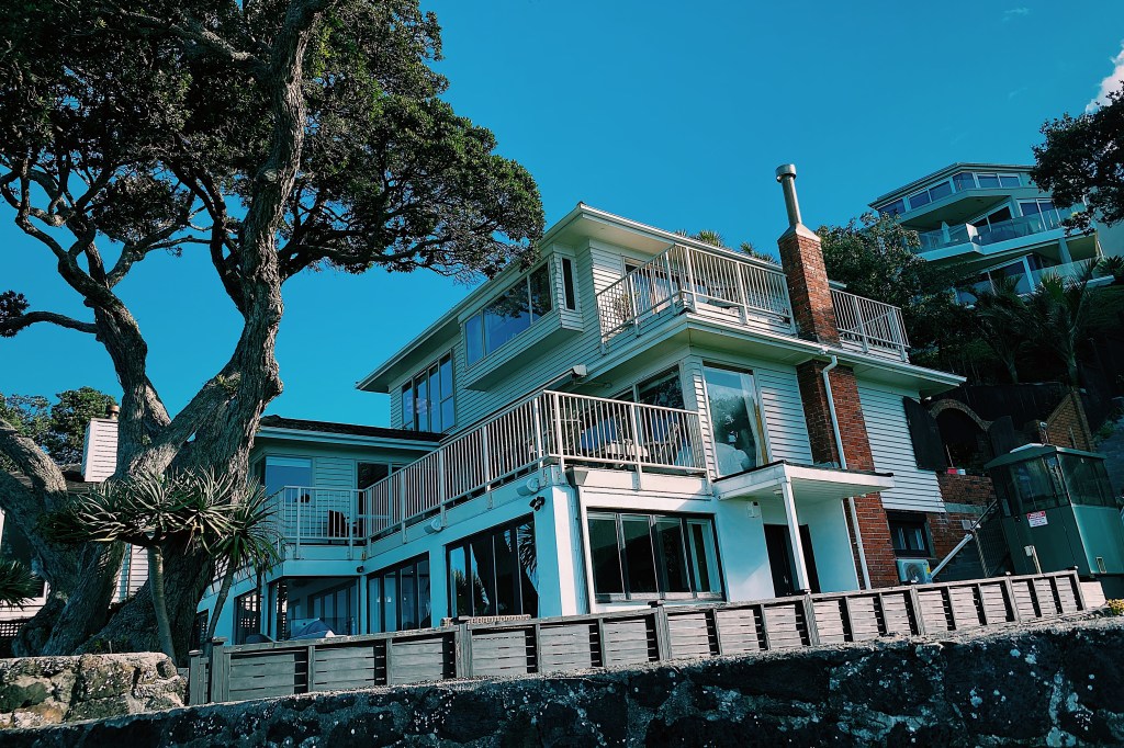
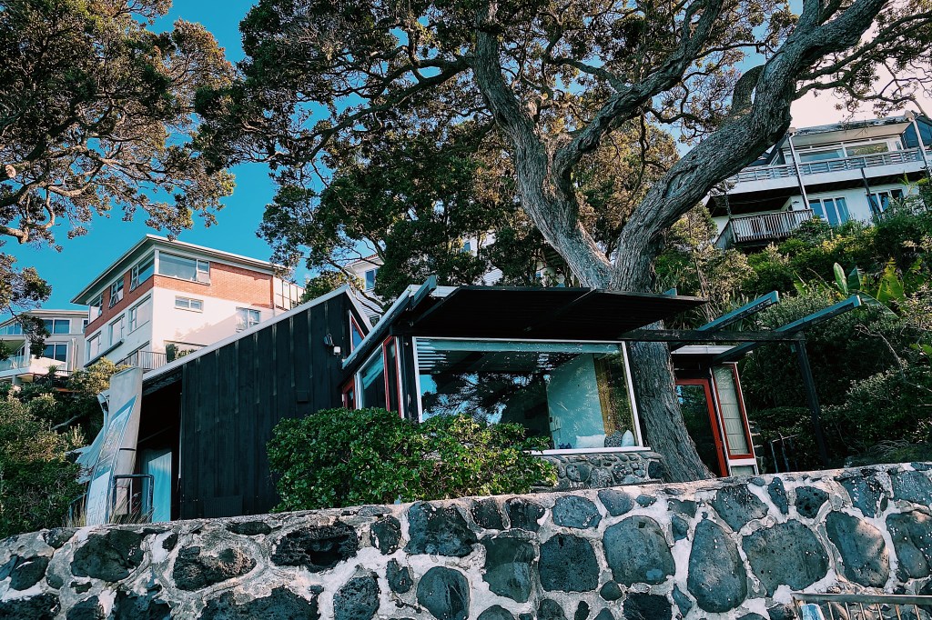
There are still some beautiful older houses and buildings in Mission Bay.
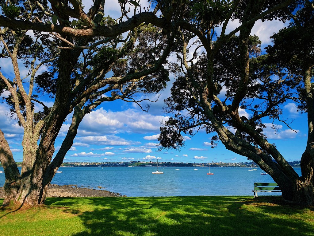
The next bay around from Mission Bay is Kohimarama, commonly called Kohi. It is less lively than Mission Bay but has a very nice cafe and a beautiful beach, lined by shady pohutukawa trees. Kohimarama refers to the gathering together of scattered wood chips from the carving of waka (canoes). The name also reflects the gathering together of divided peoples of different origins and waka after conflict.
At the eastern end of the beach is a sailing club and these sail boats were resting under the palm trees.
Speaking of sailing, the kite surfers were taking full advantage of the breezy day.
Mal spent his teenage years living with his parents in St. Heliers in the white apartment building in the following photo.
Looking back, he doesn’t remember realizing the idyllic nature of his neighborhood. Which probably had something to do with his being a teenager at the time. The neighborhood has not changed that much. The local fruit and vegetable store and small grocery store look much the same.
As does the local library.
This is the bus stop where Mal used to catch the bus to school.
Here are the shops and restaurants.
And here is the beach.
Time to sit and enjoy the view for a bit before walking back to Mission Bay.
We spent our last night and day in the South Island with our dear friends Dot and Georgia and their three sons. Dot and Georgia grow peonies but not so much for their beautiful flowers but for their roots. Originally, they had decided to plant peonies to export the blooms but on researching the flowers, they found that the roots of the flowers had traditionally been used as a natural solution to skin conditions. Their own sons had really bad eczema so Dot and Georgia decided to try developing their own creams and lotions to see if it would help their sons. And they did, amazingly well. So now they have a thriving business, exporting various creams, lotions and soaps around the world. We can confirm from the personal experience of friends and family, that the products they produce are incredibly effective. So if you know someone who suffers from eczema, psoriasis, rosacea or sensitive skin, we highly recommend that you go to their website at http://www.purepeony.com and check out their products.
Unfortunately, while we were there the flowers had already been harvested, but the property is still beautiful as is their house which is over 100 years old.
We started our tour of Marlborough in Picton, waiting for a boat to take us to Furneaux Lodge, in Queen Charlotte Sound. Picton is where the large ferries dock that sail over from Wellington at the bottom of the North Island.
The inter-island ferry is in the background
We liked these colorful chairs, a perfect spot to sit in the sun and enjoy the view of the harbor.
Soon we were on our way out into the Sounds, leaving Picton behind us.
A Sound is, apparently, a large ocean inlet and is distinguished from a fjord by its width. The boat captain explained that the Marlborough Sounds had been created when a huge earthquake thousands of years ago caused the land to sink, leading to the existing valleys that had led to the ocean becoming submerged.
Along the way to the lodge we dropped off other passengers at different points along the Sound. The only access for most is by water and the inhabitants rely on boats such as the one we were on to provide their supplies. One older lady we spoke with went to town around every eight weeks. Between those times she shot deer and fished for food. As she put it, to be a resident of the Sounds you have to be comfortable with your own company.
Eventually, after a couple of hours we reached Furneaux Lodge.
The Lodge is named for the mountain under which it sits, which in turn was named by Captain James Cook after Captain Tobias Furneaux, an English navigator who joined Cook on his second voyage to the Pacific. Cook seemed to have a particular affinity for the area and revisited it a number of times. In fact, the inlet on which the lodge stands is named Endeavor Inlet after Cook’s boat. The lodge sits on a beautiful piece of land right at the end of the inlet. Unusual for the area, there is a large expanse of grass between the water and the lodge itself.
With a great place to relax in a hammock.
The lodge, itself, was built as a family home in the late 1890s.
But the guests stay is small cottages scattered about the property. Here is ours.
In true kiwi fashion, when we arrived we found most of the male guests gathered in the bar watching the rugby. We’re sorry to say that the Canterbury Crusaders crushed our hometown Auckland Blues.
There is a bell on the property that has an interesting story. Originally owned by a Spanish Mission in China, it was given to Commander Harry Howden of the British Navy who led a daring mission to save three missionaries who had been kidnapped by bandits.
The evening was very quiet and serene.
On the next day, we walked up into the bush behind the Lodge and along the popular Queen Charlotte Track for a little while.
Beside the trail is a massive ancient Rimu tree that is estimated to be over 1000 years old.
We were joined on the walk by this little fantail.
Called piwakawaka in Maori, fantails are the only wild bird that we are aware of that will actually join you on a walk. Apparently, people kick up insects as they walk along which the birds like to eat. So as we wandered along, this one flittered about, stopping when we stopped and moving when we moved. It was not shy at all about letting us get close.
Back in the car, we made our way toward Nelson, driving through the Wairau Valley, past miles and miles of vineyards.
Marlborough is home to some of the world’s finest Sauvignon Blancs and we recognized many of the vineyard names, including the one that arguably started it all back in the 1980s, Cloudy Bay.
As we drove by thousands of acres of vineyards, it was easy to seed just how big an industry wine has become in New Zealand. It is now one of New Zealand’s biggest exports, bringing in close to $2 billion in 2019.
On the way to Kaikoura, we stopped off in the small country town of Geraldine, where we had coffee in a beautiful cafe surrounded by flowers.
Even by New Zealand standards, Mal’s cappuccino was pretty elaborate.
The pleasant vibe of the town was reflected in the local police station which included an edible garden where everyone was welcome to help themselves to the fresh produce.
We finally arrived in Kaikoura just before the sun began to set. The small seaside town was struck by an earthquake in 2016, which left two people dead and thousands stranded as the earthquake cut off train and vehicle access. In fact, work on the roads into the town continued. A sign informed us that that the access road closed for the night at 7:30 pm, so it was lucky that we weren’t running late. We stayed at a beautiful old hotel on the water’s edge.
Kaikoura Boutique Hotel
The morning brought some beautiful views of the dramatic hills that line the shoreline and some very cool spots on the water where the sun broke through the clouds, like a theater spotlight.
On the way from Clyde to Lake Tekapo, we stopped in at the Omarama Clay Cliffs. As we have travelled around New Zealand, we have often thought how certain parts remind us of other countries. Consequently, our suggestion for an effective New Zealand travel ad campaign would be to show photos of New Zealand that appear to have been taken in other countries. For example, the ad would show a photo of Milford Sound and underneath say “Norway? No. New Zealand” “New Zealand, the world in one country”. In our campaign, the Omarama Clay Cliffs would stand in for Cappadocia, Turkey.
Turkey? No. New Zealand.
With its azure blue waters, Tekapo is,undoubtedly, one of New Zealand’s most beautiful lakes. The name derives from the Maori words, taka (sleeping mat) and po (night) and translates to “leave at haste at night”.
On the edge of Lake Tekapo is, perhaps, New Zealand’s most photographed church. The Church of the Good Shepherd was built in 1935. It is an appropriate name for a church built in the middle of sheep country.
After a hard day on the trail, we decided to spend the next day relaxing in the small historic town of Clyde. Clyde was formed at the time of the Central Otago gold rush of the 1860s. This was New Zealand’s biggest gold strike and led to a rapid influx of miners, many of whom were veterans of the Californian and Australian strikes of a few years earlier. Certainly, it has the look of a town in a Hollywood Western.
We wandered around the neighboring streets and came across some wonderful old cottages.
Clyde is in the driest part of New Zealand so it is unusual to see such lush grass as in front of this home.
Clyde is in the center of one of New Zealand’s primary fruit growing region and many of the homes had fruit trees in their yards. Pears and apples are in season.
The town sits on the banks of the Clutha river.
We also passed by the Clyde District War Memorial building housing the library and Plunket rooms.
If you ever find yourself in Clyde, we highly recommend staying at Oliver’s. It is a beautiful old inn with wonderful gardens and the proprietors could not be more accommodating. Ask to stay in the Coach Room.
The Otago Central Rail Trail is a 150 kilometer (93 Miles) walking, cycling and horse riding trail that follows a railway line that was built at the turn of the twentieth century. After about ninety years of operation it closed 1990 and began its new life. We only biked a sixty kilometer (40 mile) stretch of the trail. The trail was fairly flat and the stretch we biked was slightly downhill. However, after lunch a strong headwind began to blow which made it one of the more strenuous rides that we have done. Along the way we rode over trestle bridges and through tunnels. We saw some spectacular scenery and lots of sheep and cattle.
We passed the sites of a number of old train stations, such as this one at Lauder.
One surprising thing for visitors to New Zealand is the strength of the country’s coffee culture. Even in the middle of nowhere, it’s possible to find a cafe selling exceptional espressos, cappuccinos and flat whites. Kiwis are disparaging of paper cups, so most places you will find customers sitting and sipping their coffee from ceramic cups.
The cafe at Lauder
We passed through the charming little town of Omakau.
We stopped for lunch at a tavern in charmingly named Chatto-Creek
After struggling through headwinds over the plains, it was nice to get down to the shelter of the trees lining the Clutha river.