January 25, 2026
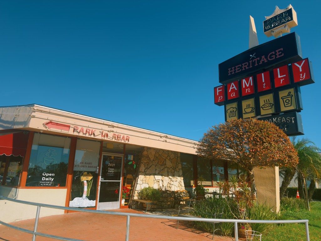
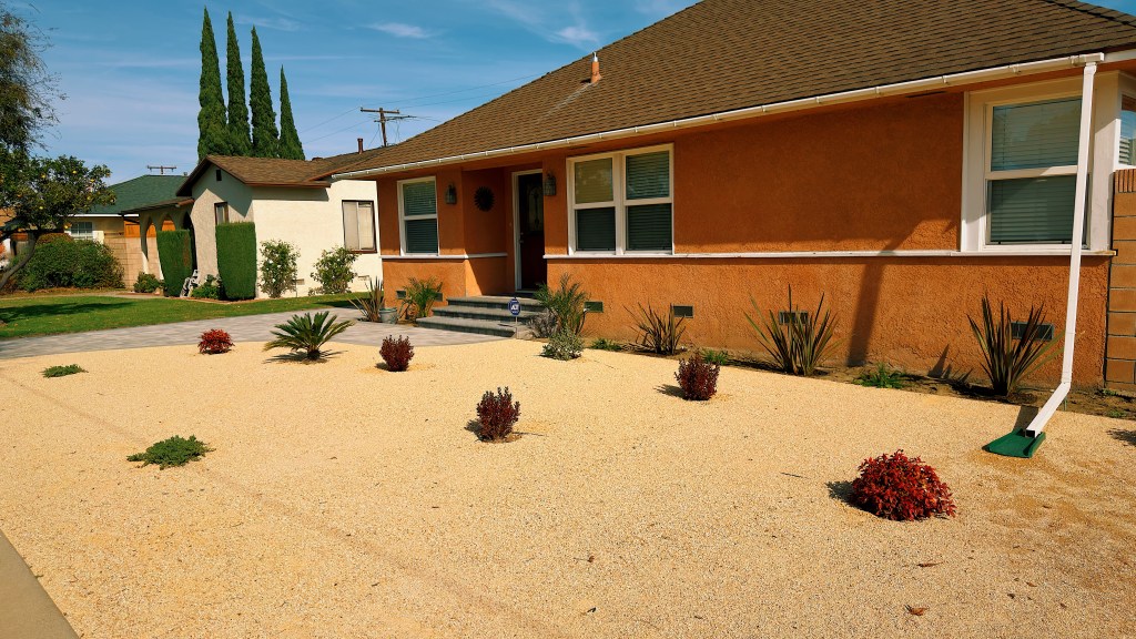
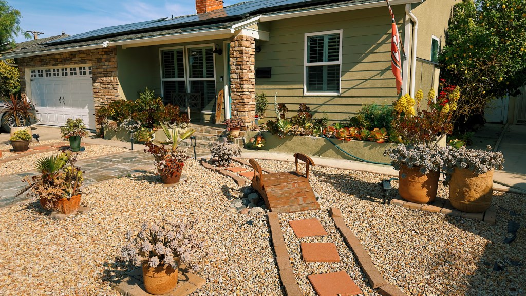
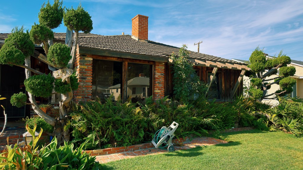
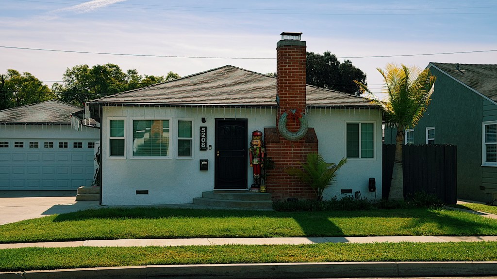
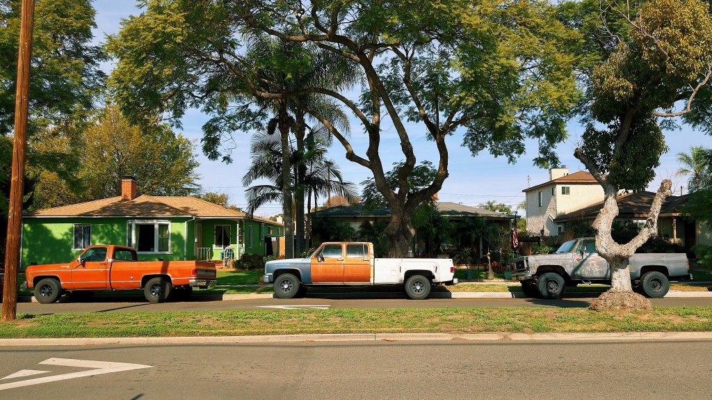
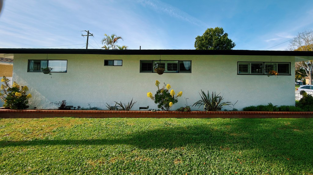
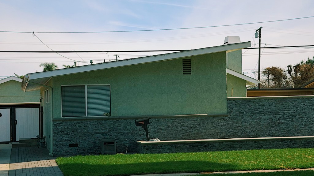
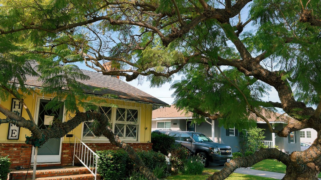
On another beautiful Southern California winter’s day, while much of the rest of the country was enduring massive snow storms, we went on a walk through Lakewood which borders our neighborhood in Long Beach. As we have mentioned in previous posts, Lakewood sprung up after World War II to accommodate veterans returning from the war. Today it is a pleasant quiet neighborhood of small single family homes, some of which have quirky touches.
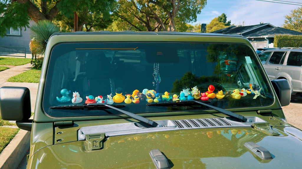
Speaking of quirky, we are not sure how this driver managed to concentrate on the road.
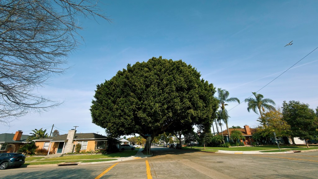
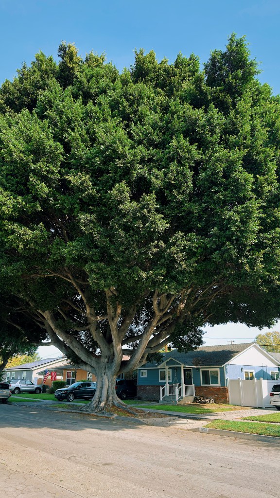
Dotted throughout the neighborhood are massive, dense Ficus microcarpa (Indian laurel fig or Chinese banyan) trees.
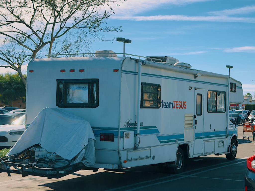
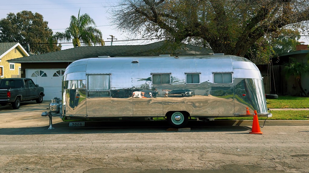
There were quite a few RVs and caravans parked in the neighborhood. This classic Airstream was our favorite.
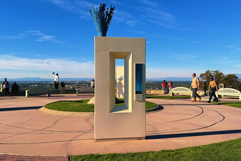
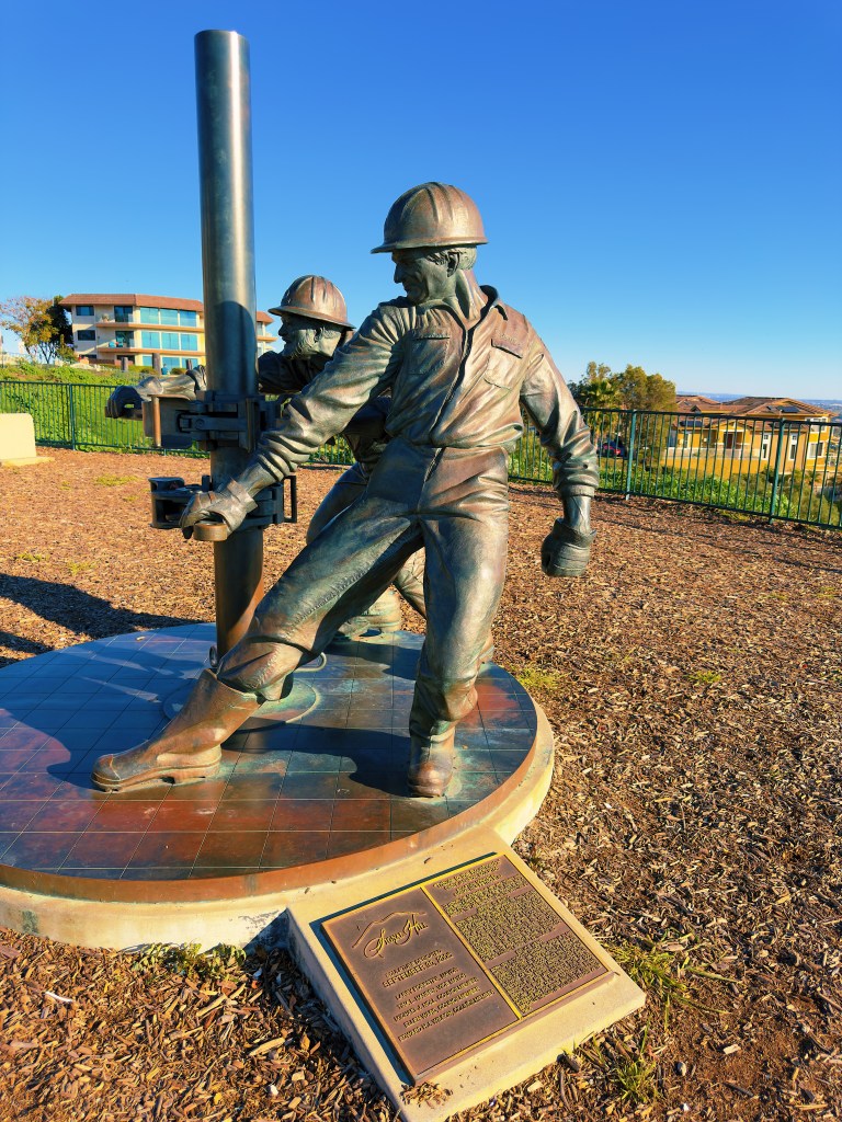
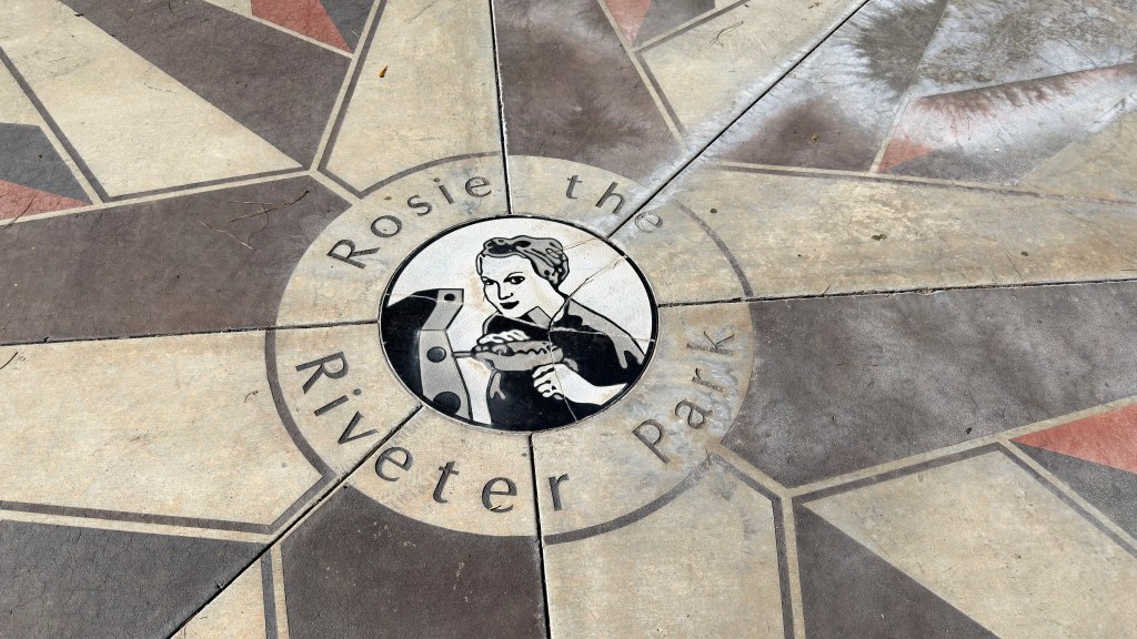
During World War II, Lakewood was the site of a massive aircraft factory run by the Douglas Aircraft Company. With many of the men off fighting in the war, the factory employed thousands of women who did riveting, assembly, and industrial labor. These women were symbolized by Rosie the Riveter. You have probably seen the iconic “We Can Do It” poster depicting Rosie flexing her biceps.

Rosie has not an actual woman but was created as wartime propaganda to depict the many women working in the war effort. Later she became a feminist symbol, especially during the women’s movement of the 1960s and 1970s. Many of the women she represented worked at the Douglas factory and there is now a small park in Lakewood memorializing these women.
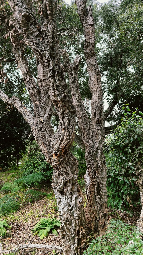
Speaking of wartime, the bark on this tree may have been the model for modern day camouflage.