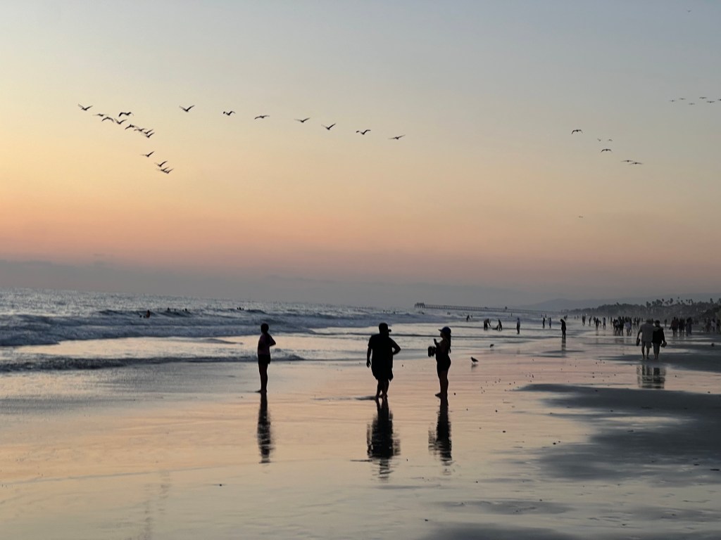
Carlsbad is a beach town between Los Angeles and San Diego. It is named after the Bohemian town of Karlsbad (now Karlovy Vary in Czechia). Coincidentally, we visited Karlovy Vary a few years back and can tell you that looks nothing like Carlsbad. Apparently, the connection is that both towns are known for the quality of their water and both were spa towns. Nowadays, Carlsbad is more well known for its Legoland amusement park. We skipped Legoland but Mal did enjoy some body surfing in the Pacific which was surprisingly warm and inviting.
One of the great things about being on the west coast and having endless sunny days, is the quality of the sunsets. We had a beautiful walk along the beach with our son, Jake, and daughter-in-law, Kylie. A perfect way to finish a perfect day.
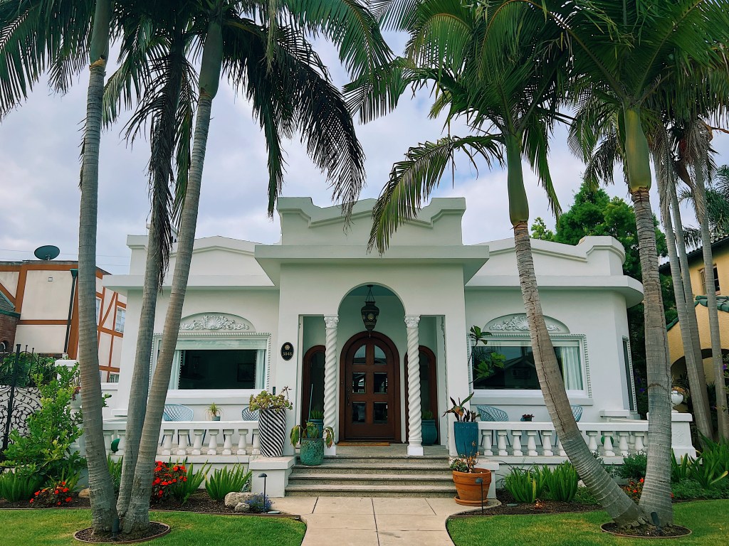
Today, we wandered into the adjacent neighborhoods of Bluff Park and Bluff Heights. 1st Street appears to be where Long Beach’s rich built their homes, lined as it is with large and ornate homes.
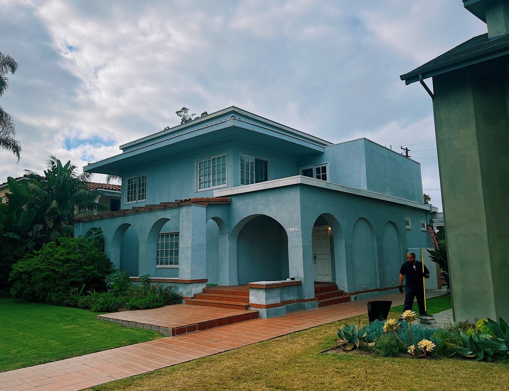
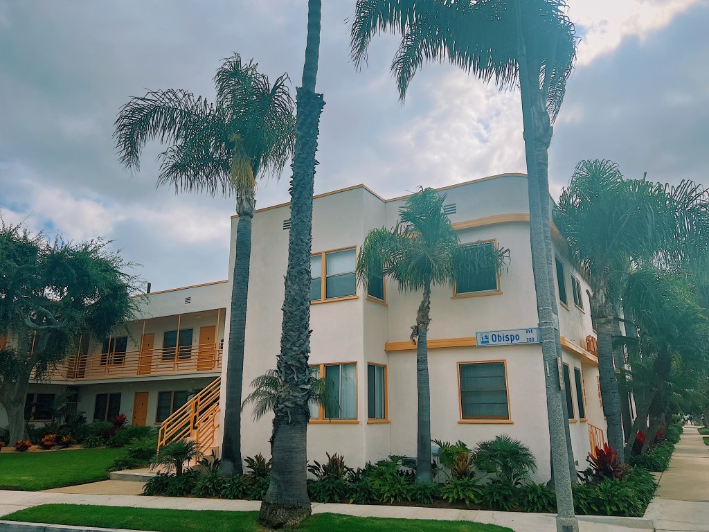
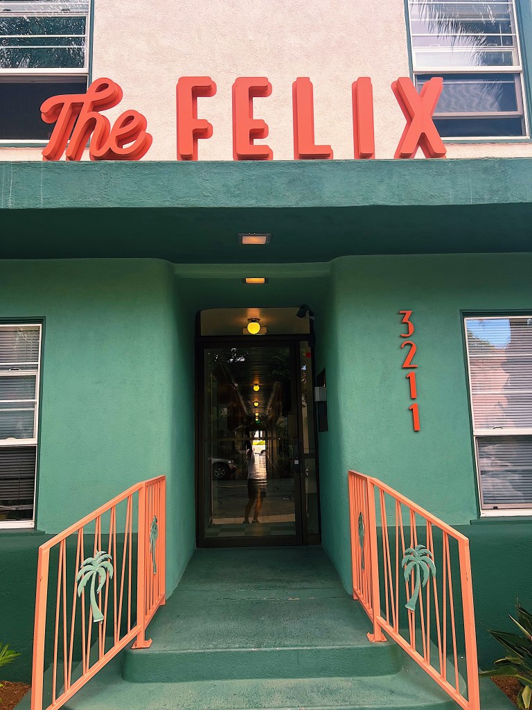
Further back from the ocean in Bluff Heights, the homes are less majestic. There also a number of small apartment blocks, many of which are in deco or mid-century modern style.
The classic cars of the day are these two lowrider pickup trucks.
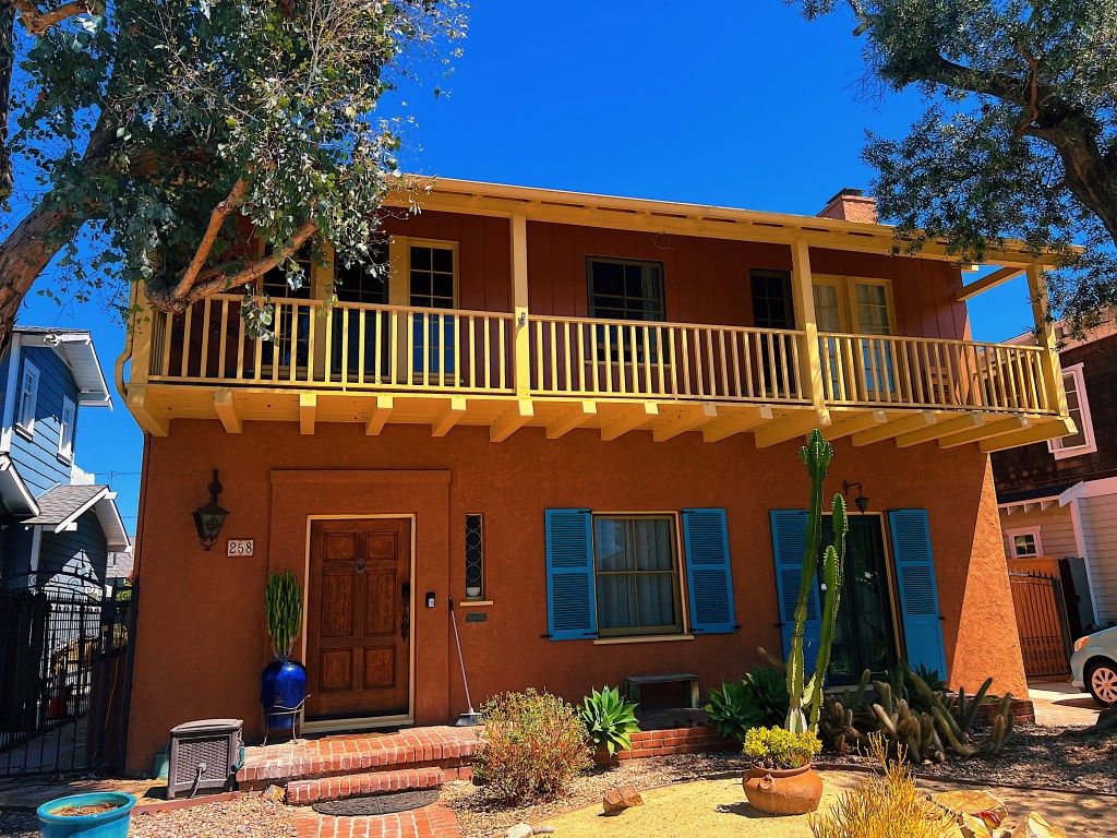
It is always nice to have a spare, identical (albeit somewhat smaller) house on hand in case of emergency.
We thought that this church was more colorful than usual but then realized it is now a Cambodian Buddhist Temple.
We passed this strangely geometric topiary.
And this beautiful fragrant Frangipani.
Before long we were back in Belmont Heights.
This resident sitting on her front porch freaked us out a little with her bright red hair and strange stillness.
During our walks we have passed by some beautiful old doors and gates.
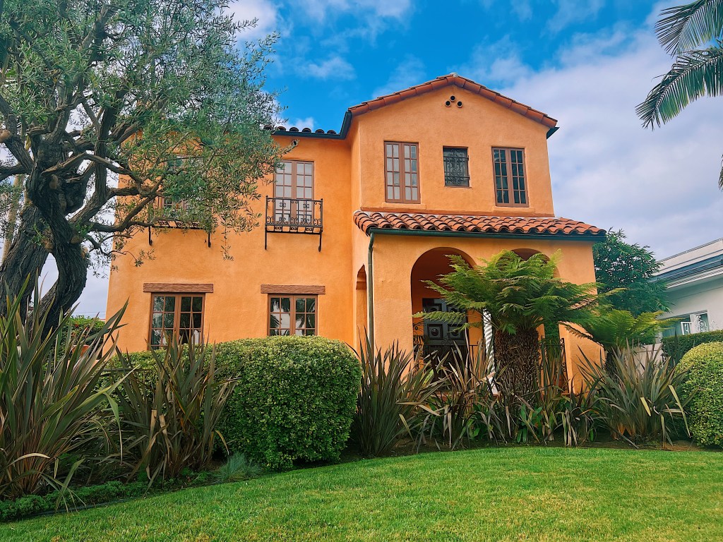
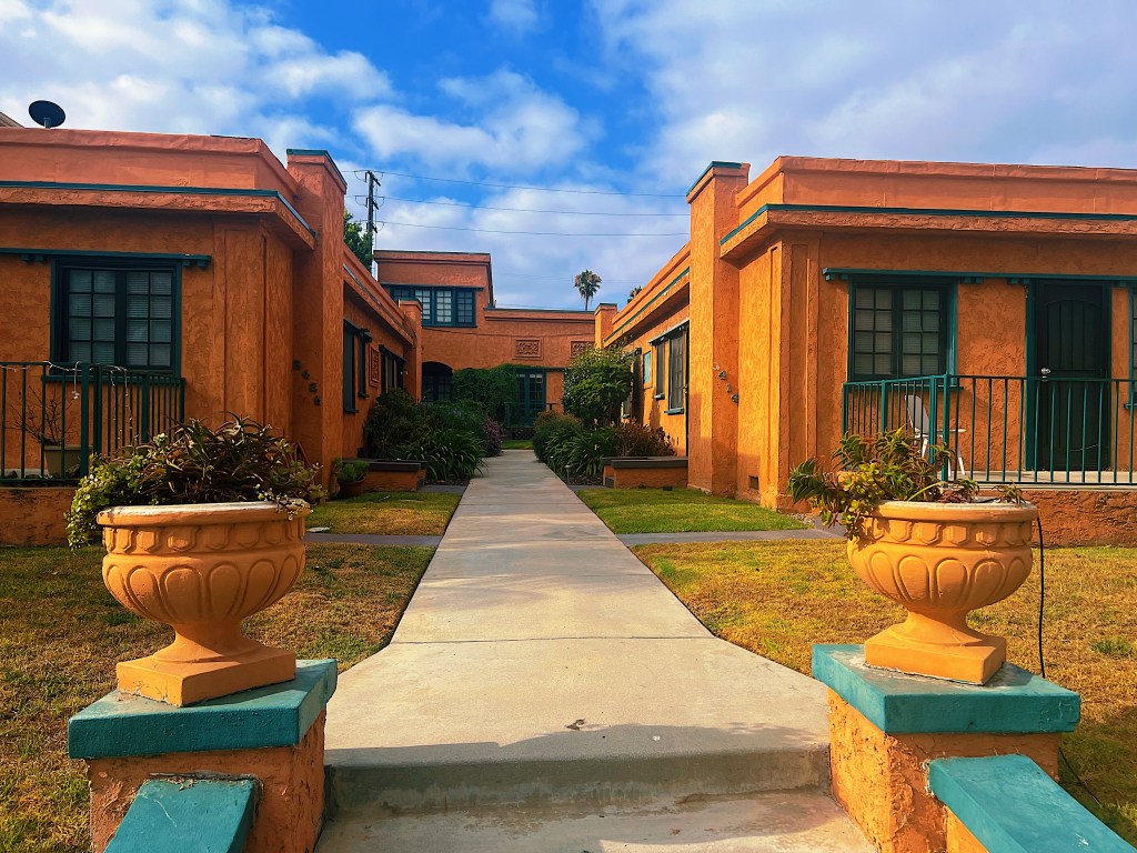
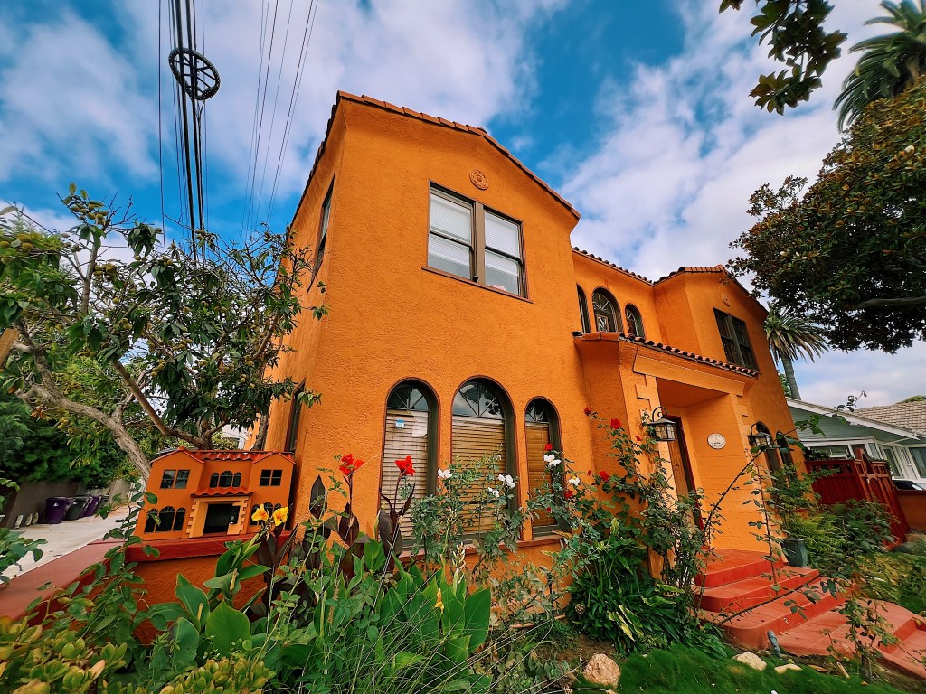
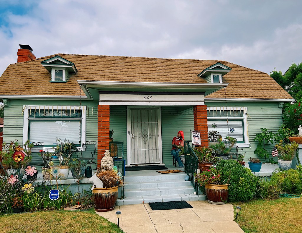
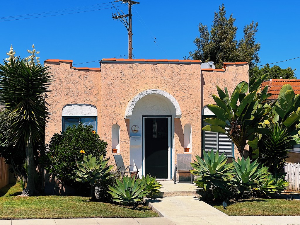
We are renting a home in Belmont Heights for a month. It is very pleasant area with a wide variety of homes and small apartment buildings. Our favorites tend to be the Spanish style homes that are predominant in the neighborhood.
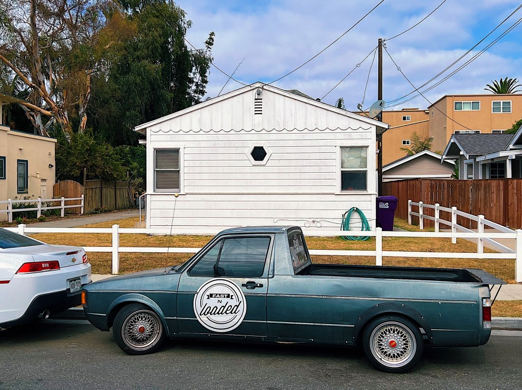
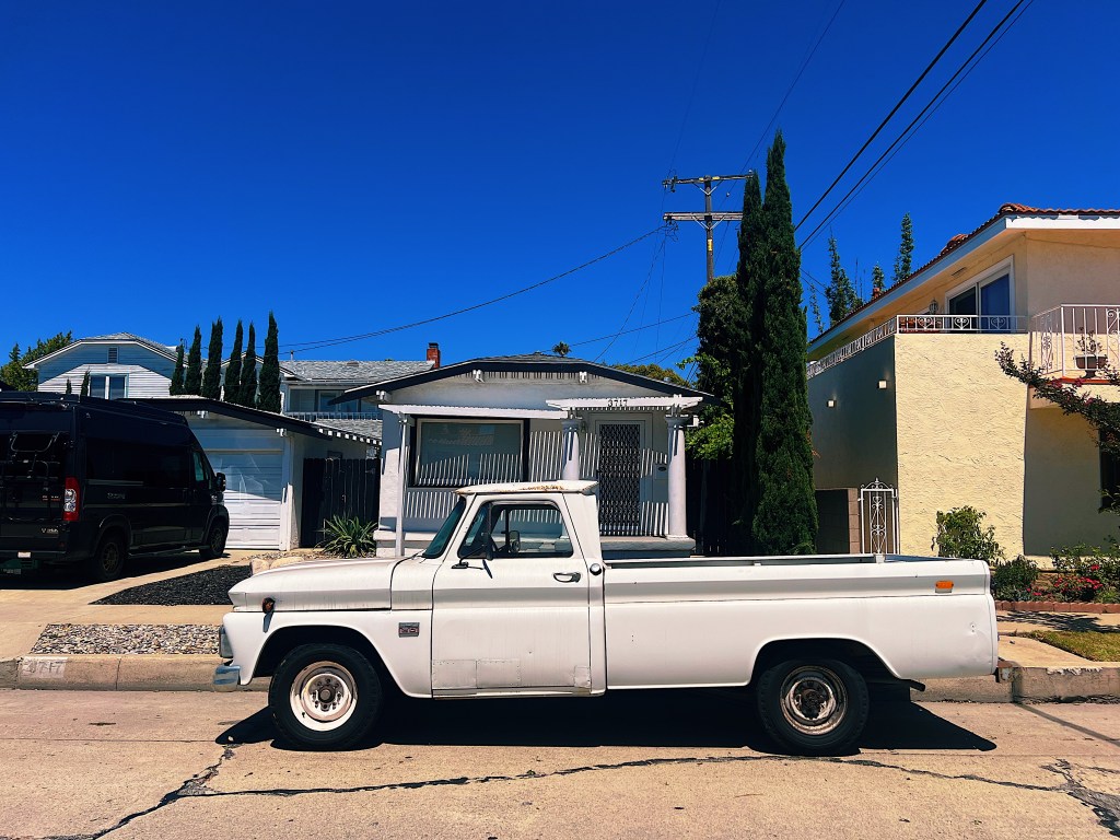
Classic car of the day was this white pick up truck with house to match.
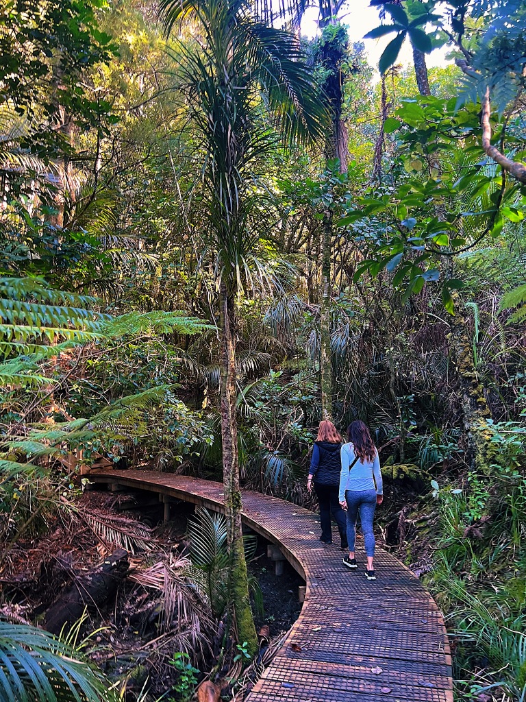
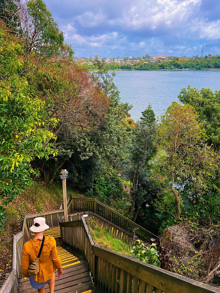
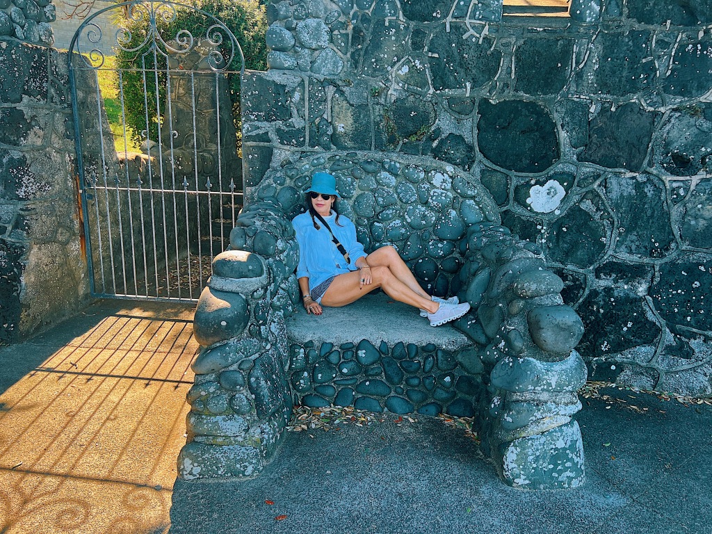
Our dear friend, Louise, led us on a short hike through the Alice Eaves Scenic Reserve. The Reserve was owned by Alice and Edward Eaves and was cared for by Alice until her death in 1955. It was then gifted to the New Zealand public in 1960 and is free and accessible to all visitors.
Kauri are New Zealand’s largest trees by volume (but not height). Seeing these tall straight trees, it easy to see why early European settlers quickly realized that the trunks of young kauri were ideal for ships’ masts and spars. The gum from the trees was also essential in the early manufacture of varnishes. Consequently, the Kauri forests were decimated right through until the middle part of the twentieth century. The trees are now protected but in recent years have come under a different threat. Kauri dieback is a disease that can lead to the death of the trees. To prevent the spread of the disease, footware-washing stations have been set up at the entrances and exits of walking tracks.
Like all of the forest (called bush by New Zealanders) we have visited here, the Reserve is very well maintained by the Department of Conservation. Wooden boardwalks and stairs make it easy to get around and view the magnificent Kauri trees.
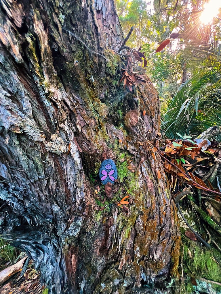
Someone had left this little surprise tucked into one of the trees.
This old Kauri has been standing for approximately 800 years, during which time it had survived lightning strikes, fires and blows from a miller’s axe.
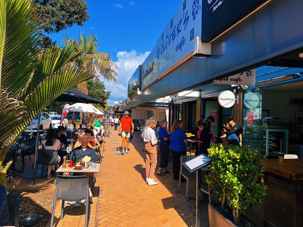
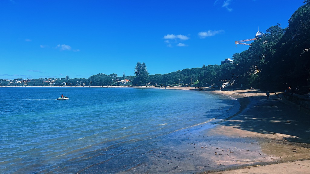
After our walk, we went to nearby Orewa for lunch. Just 25 miles north of Auckland, Orewa is a bustling seaside town, sitting beside a long wide beach.
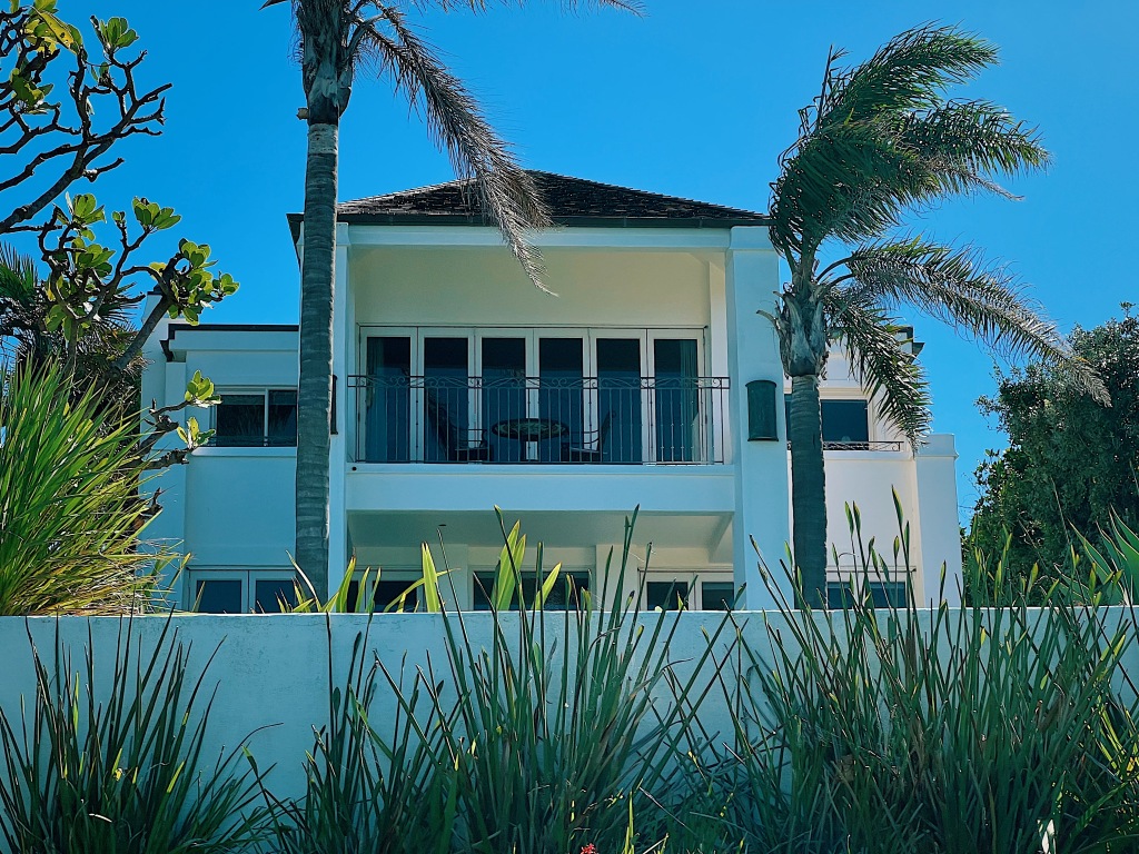
Parts of the beach are lined with private homes. Here are a few.
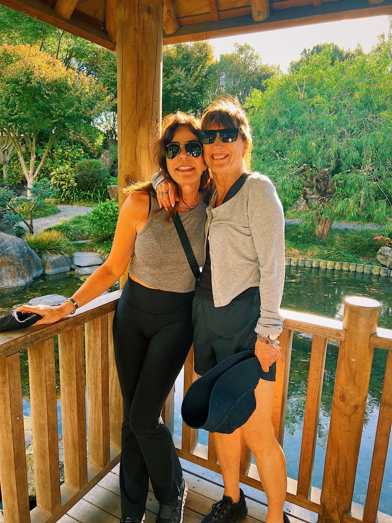
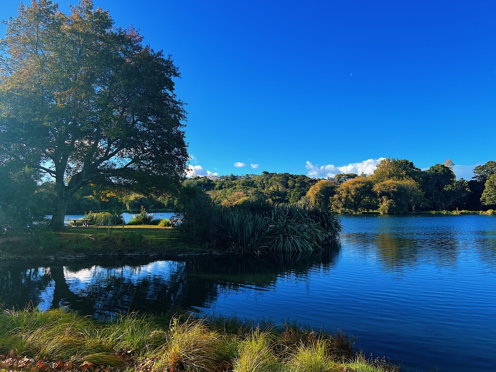
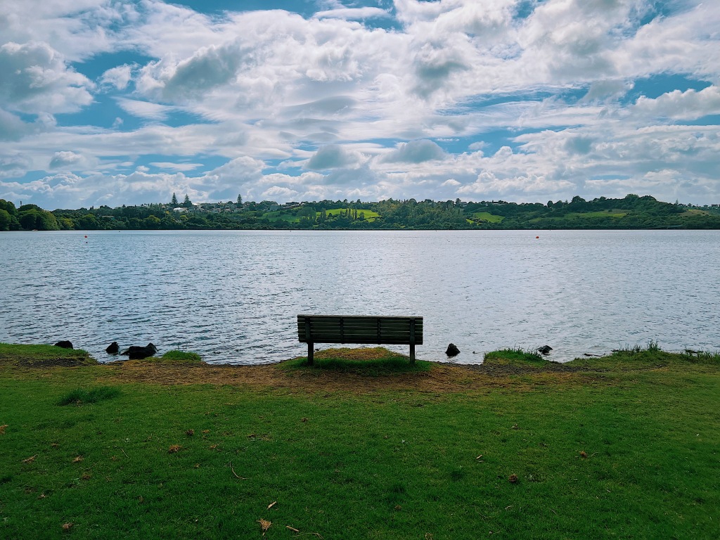
When you mention Western Springs to Aucklanders, they will most likely think of three places: the Auckland Zoo; the Museum of Transport and Technology (known locally as MOTAT); or Western Springs Stadium, all of which sit within the Western Springs neighborhood. But there is one lesser known attraction, the Western Springs Reserve, where beautiful parkland surrounds a lake fed by natural springs. Our cousin, Annette, who lives nearby, acted as our guide. We headed toward the rainbow and started out at the small hidden Japanese garden.
We then followed a path around the lake, encountering along the way numerous black swans. Europeans assumed that black swans did not exist until Dutch mariners first spotted them in Australia in 1697. Based on a theory first posited by the Lebanese-American essayist and mathematical statistician, Nassim Nicholas Taleb, black swans have become a metaphor for an event that comes as a surprise, has a major effect, and is often inappropriately rationalized after the fact with the benefit of hindsight.
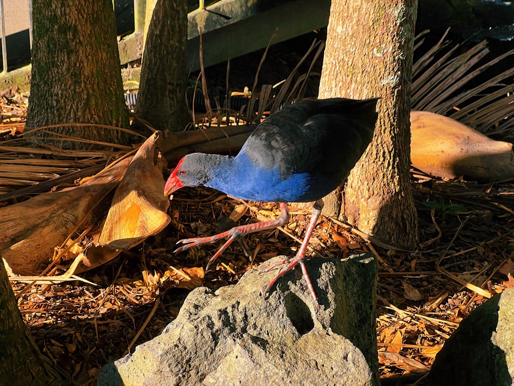
There were also large numbers of pukeko. These swamp hens are very pretty with their bluish purple breast and bright red beaks. We also love their large feet.
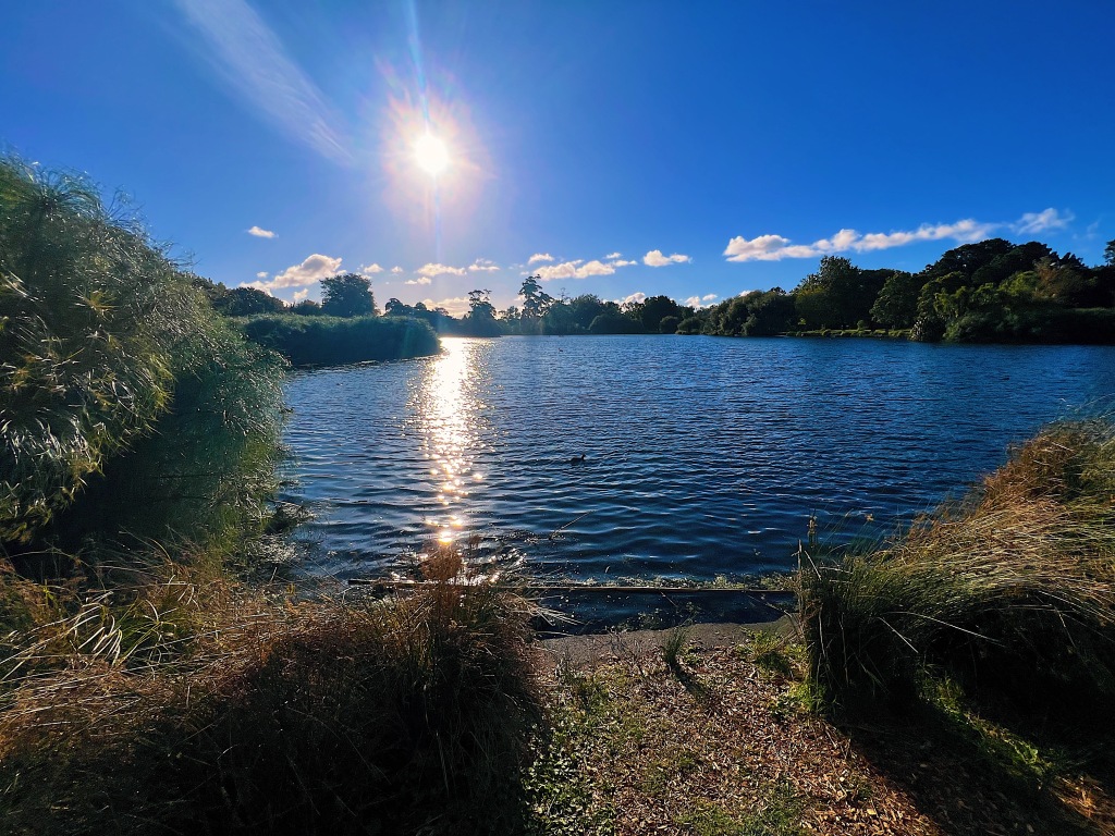
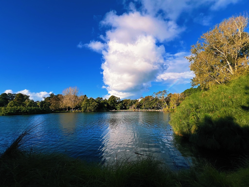
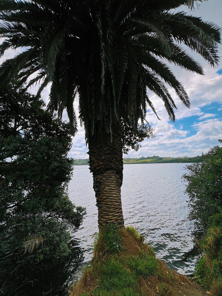
Here are some views from our walk.
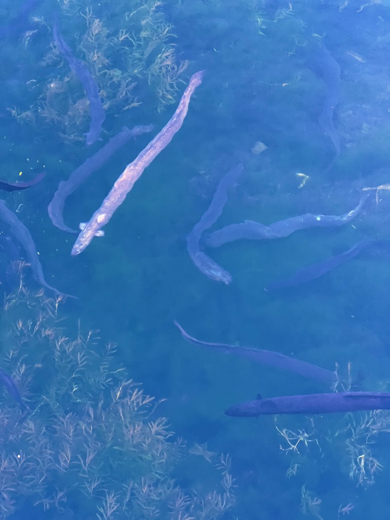
In Maori, the lake is called Te Wai Orea (the water of eels). It is easy to see why.
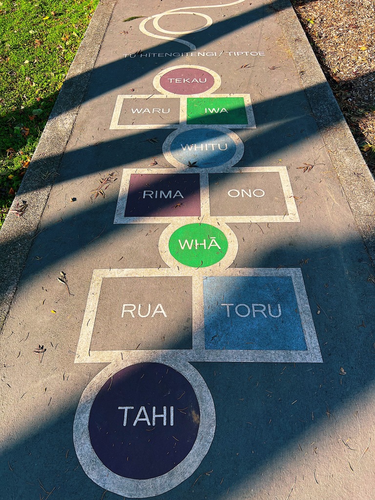
Speaking of Maori, if you want to learn to count to ten, just play a few games of hopscotch. Hint, Tahi is one and Tekau is ten.
Finding ourselves in St. Heliers, we decided to go for a walk and visit another of Auckland’s volcanoes, Glover Park. We started out down in St. Heliers and made our way up and along Cliff Road which follows, unsurprisingly, a cliff that rises east of the beach.
St. Heliers Beach
Just around the point from St. Heliers is a secluded beach nestled down at the bottom of the cliffs named Ladies Bay. We think it may be the only nude beach in the city. Despite the blustery day, there were plenty of folk out getting an all over tan. Sorry, no photos.
A little further around is Achilles Point, where a look-out offers extensive views over the harbor. The point is named after HMNZS Achilles, a Leander-class light cruiser which helped defeat the German battleship Admiral Spee in 1939, during the Battle of River Plate. The point’s Maori name is Te Pane o Horoiwi (The Head of Horoiwi).
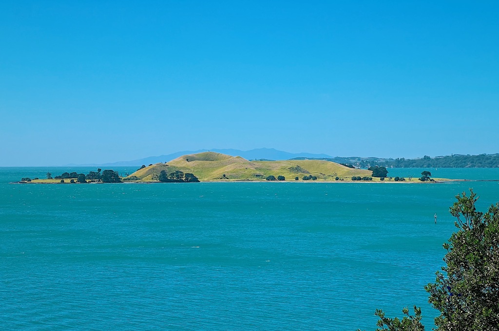
One volcano that we will not be visiting is Brown’s Island, unless we can convince one of our boat owning friends to take us out there, because it is not served by ferry. We did get a great view of it from the point. The island is named for William Brown who, along with his business partner, Logan Campbell, was one of the European founders of Auckland. Brown had owned the island along with Campbell and lived on it for a while running a pig farm. In Maori, the island is called Motukorea (island of the oyster catcher).
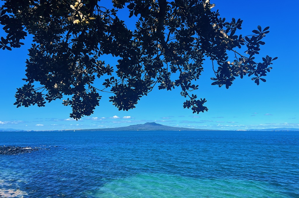
It’s virtually impossible to look over the harbour and avoid seeing Rangitoto.
We eventually arrived at Glover Park, which is located inside a 500 meter diameter explosion crater. It is one of Auckland’s oldest volcanoes, having erupted between 140,000 and 180,000 years ago. It is named after Albert Edward Glover, a city councilor and Member of Parliament in the 1890s- 1910s. In Maori, it is called Whakamuhu, meaning ‘to lead into a thicket’ referring to its once swampy crater floor. In the middle of the twentieth century the swamp was drained and filled. It is now used for sports.
From Glover Park, we continued on into the neighboring suburb of Glendowie. Here are some houses, we saw along the way.
At the center of Glendowie, stands Churchill Park. Named after Winston Churchill, at 40 hectares, it is one of Auckland’s largest parks. It is also much more rural than most of the others, with farmland supporting a number of grazing cattle.
Orakei Basin is a large explosion crater that erupted on the side of Purewa Creek that runs into Hobson Bay. In the 1920s, an embankment was built for a railway line that cut off the crater from the creek. The embankment created a shallow, artificial saltwater lake with control gates under the railway line. These gates are opened twice a month during spring high tides to flush out the nutrient-rich brackish water and replace it with sea water. There is beautiful walk way that extends right around the circumference of the basin.
After walking around the basin, we made our way up and around the rim of the basin and over to another nearby volcano, Litttle Rangitoto. Here is the view down into the basin.
Because this is Auckland, with a cafe on every corner, we didn’t have any trouble finding a spot for a rest and a couple of coffees.
We are not sure how Little Rangitoto got its name. The Māoris called it Maungarahiri, meaning ‘hill of the sun rays’. If it was originally named Little Rangitoto because of its resemblance to its much larger and more famous namesake, it no longer holds true because the volcano was quarried away in the first half of the 1900s. What remains is a pretty neighborhood park.
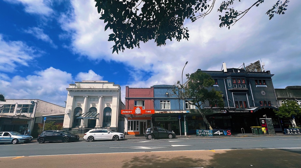
The central business district of Auckland is not particularly attractive. However, there are some interesting buildings scattered throughout the downtown area. Here are some we passed during our walk.
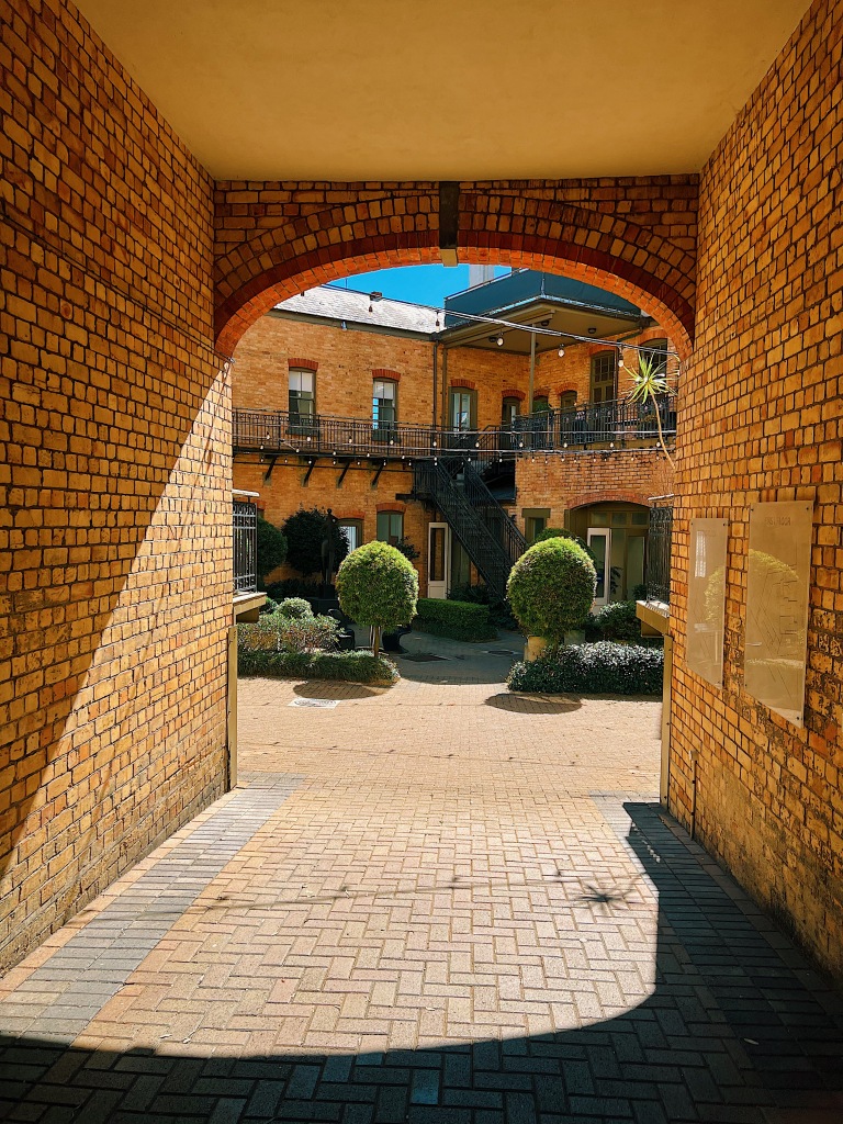
The St. John Ambulance National Office was built in 1912 and was used for much of its life as the Central Fire Station. Accordingly, the building has a beautiful tower that was used for spotting fires throughout the area. It also has an attractive brick courtyard that was used to house the horses that pulled the fire wagons. Today, the building contains the offices of a number of small businesses, including those of our architect cousin, Neil.
Just a little further down Pitt Street is the current Central Fire Station. Built in 1944, it is one of Auckland’s most prominent Art Deco buildings.
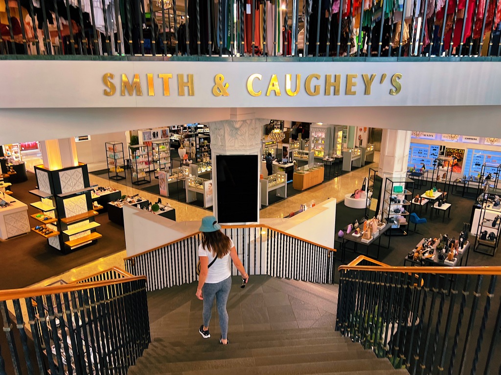
Our next stop was the Smith and Caughey building. In 1880, Marianne Smith opened a drapery shop and was soon joined by her brother Andrew Caughey. Together, they started what is now Auckland’s sole-surviving family-owned department store. Built in 1927, it was designed by American born-and-trained architect Roy Lippinott, who was very familiar with the Chicago School architects, including famous high-rise pioneer, Louis Sullivan. In fact, the building has a formal resemblance to the larger-scaled Carson, Pirie, Scott and Company store that Sullivan had designed for a site in downtown Chicago.
Queen Street is the major commercial thoroughfare in Auckland’s central business district. It is not quite that magnet for shoppers that it once was, with new shopping districts in nearby Britomart, Newmarket and Ponsonby Road, becoming the primary hubs for the smaller trendy boutique stores. However, it is still very busy with office workers, students from the nearby university, and tourists off the massive cruise ships that dock at the harbor bottom end of the street.
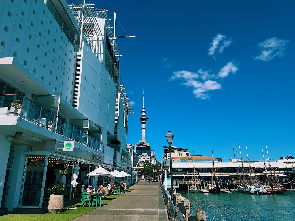
Having arrived at the bottom of Queen Street, we decided to get some lunch at the nearby Viaduct, a bustling spot of harbor side restaurants and bars.
Having obtained sustenance, we headed back into the streets of downtown Auckland. First stop, were two buildings that sit opposite each other. They are from different eras but are both noteworthy.
The Customhouse, built in 1888 in French Renaissance style, was saved from demolition in the 1970s by public outcry. Perhaps, ironically, for a building that originally served as a customhouse, it is now the home of high end duty-free stores.
Sitting across the road from the customhouse is West Plaza. Built in 1974, it has stood the test of time and is in our view is still one of Auckland’s most beautiful tall buildings.
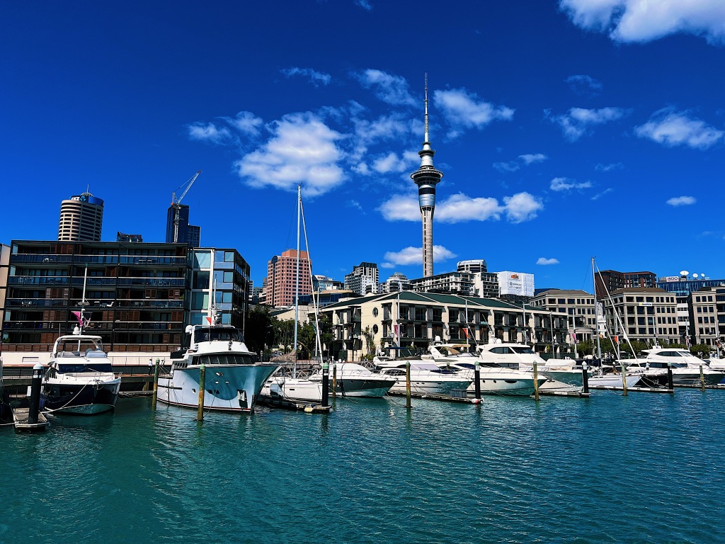
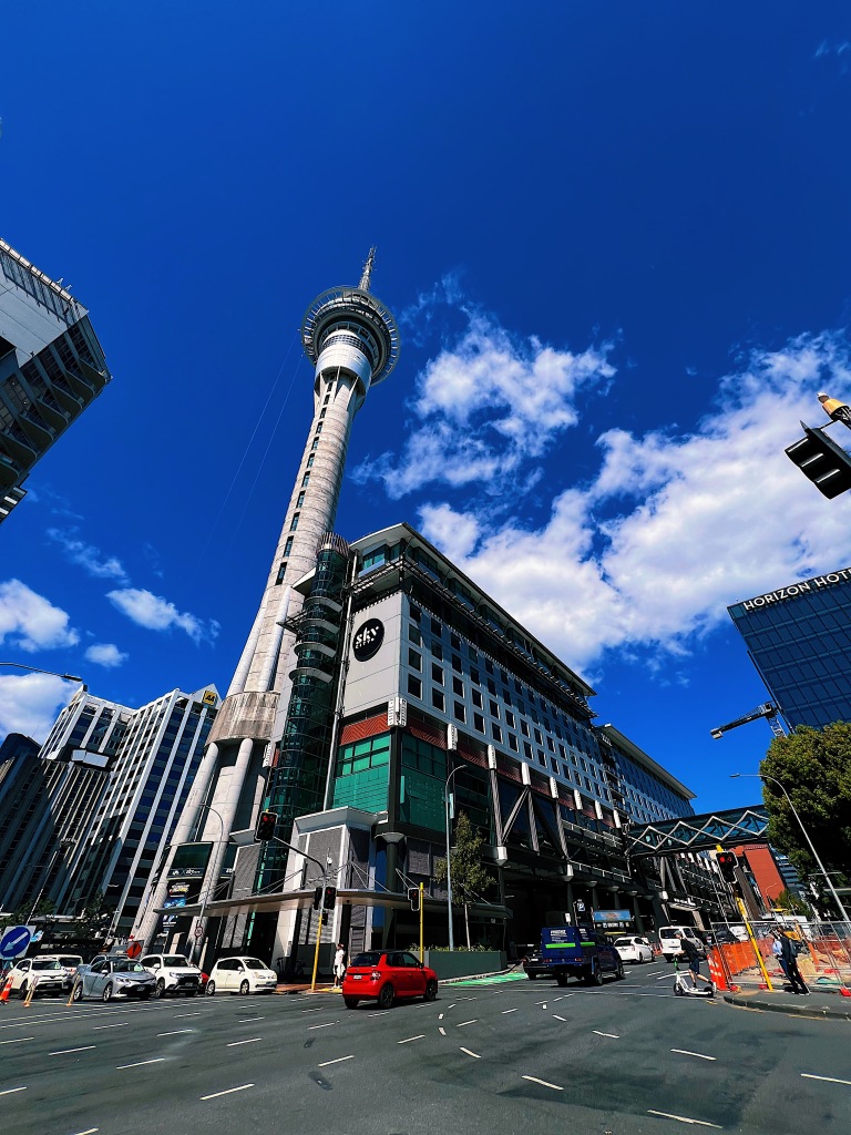
Just up the hill is Auckland’s most visible structure, the Sky Tower. Built in 1997, the 328-meter high tower is visible from most parts of Auckland. It sits atop the SkyCity casino.
Just a little further up is one of Auckland’s newest buildings. Opened in 2022, Homeground, the home of the Auckland City Mission includes 80 permanent apartment homes for people on the social housing register, a shared rooftop garden, community spaces, a health center, a pharmacy and addiction withdrawal services.
In the 1920s an esoteric religious group called the Higher Thought Temple sprung up in Auckland. Drawing on an eclectic mix of eastern mysticism, Christianity, theosophy, philosophy and spiritualism, it proclaimed itself to be “A Universal Church, without fixed creed, dogma or ritual, where people could study the principles of Higher Thought as a religion, a science and a philosophy”. Despite regularly advertising in the local newspapers, the religion never developed much a following and the temple built in 1926 to hold around 180 people never reached capacity. In the 1980s, the building was sold to an even more esoteric group called The Builders of Adytum, a group that teaches a curriculum based on occult psychology, sacred tarot and Holy Qabalah – the latter a school of thought famously followed by pop star, Madonna. That group sold the building recently but we are not sure who owns the building presently.
The Tepid Baths opened in 1914. Despite their name, the response to their opening was anything but tepid with thousands of swimmers taking a dip within the first couple of months. The tepid in the name actually refers to the temperature of the water in the pools. The baths were originally heated with hot water from a nearby tramways power plant. Despite what it says on the building, the pool is now fresh water, having been transformed from salt water in 1974. Among the Auckland residents who have enjoyed its tepid indoor pools is Lauren who used to swim laps there back in the 1980s.
If you are a regular follower of our blog, you will know by now that Auckland is built on a volcanic plain. A few weeks back we climbed Rangitoto, Auckland’s youngest volcano, which erupted and sprung up out of the ocean only 600 years ago. Today, we visited Pupuke Moana (‘overflowing lake’ in maori) which is Auckland’s oldest volcano at approximately 190,000 years old. Today, Pupuke is a large fresh water crater lake. It is very popular with windsurfers and on this breezy day they were out in abundance.
There is a pleasant walk across the bottom of the lawns of the houses that front onto the lake. It is also a bird refuge and we saw a number of pukeko (a native large purple swamp hen) with their young in the rushes. There were also quite a few black swans enjoying the sunshine.
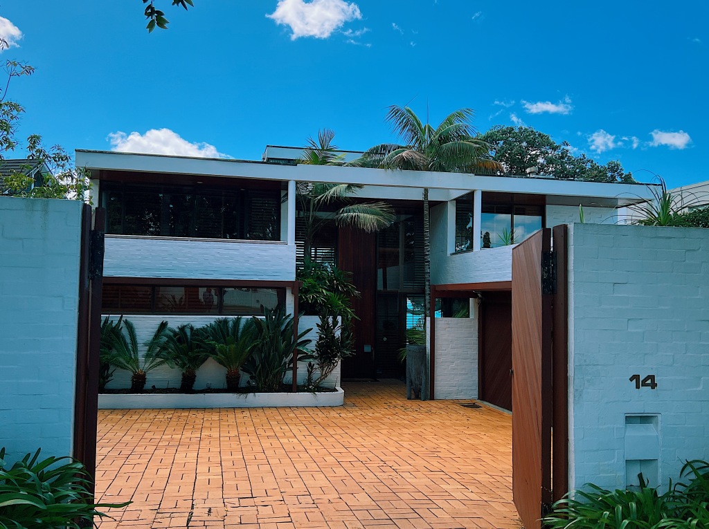
From Pupuke, we walked across to the nearby seaside neighborhood of Takapuna. Along the way we saw some modern castle like homes and one actual castle.
At Takapuna, we stopped for some sustenance at the Takapuna Beach Cafe that was doing good business at its prime spot overlooking the beach.
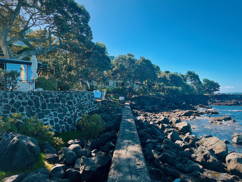
After lunch, we walked along the coastline to Milford Beach. It is an interesting walk with lots to see, including some beautiful homes that sit right on the edge of the water.
When nearby Pupuke erupted, lava flowed toward the ocean and through a forest of numerous small and large trees. The resulting reef is New Zealand’s best example of a forest killed and fossilised by passing lava flows. There are a number of perfectly round rock pools that resulted from the lava hardening around the existing trees that soon died.
Eventually, we arrived at Milford beach which was lined with an interesting mix of big and small, old and new homes.
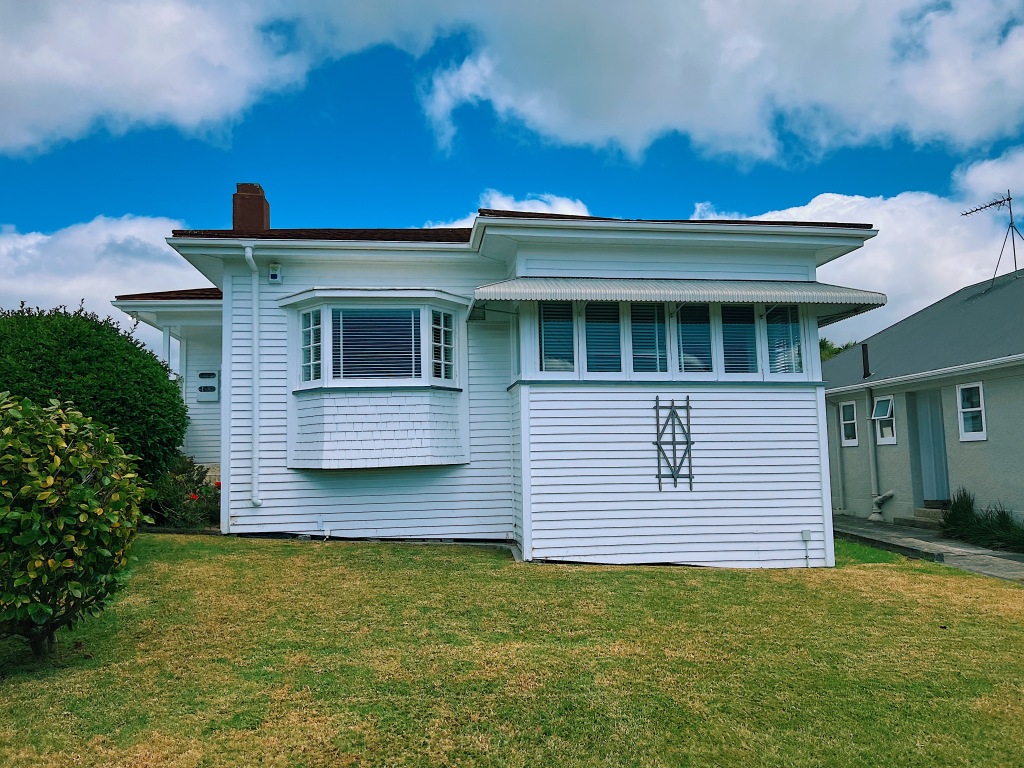
After a couple of months and numerous sidetracks, we returned to Point Chevalier with its state homes and infill housing. We started out at the Point Chev shops that line Great North Road before heading back into the neighborhood.
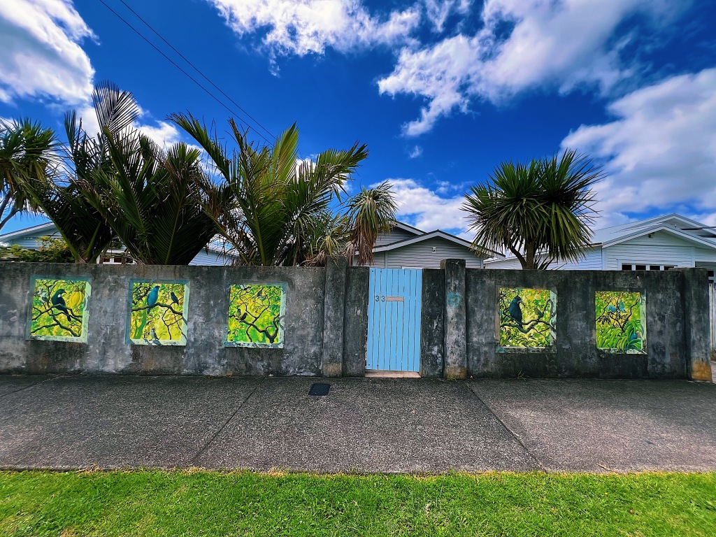
We’ve mentioned before how fond New Zealanders are of their native birds. We even go so far as to call ourselves kiwis after the national bird. These home owners took that love to a new level with some beautiful trompe-l’oeil paintings on their front wall.
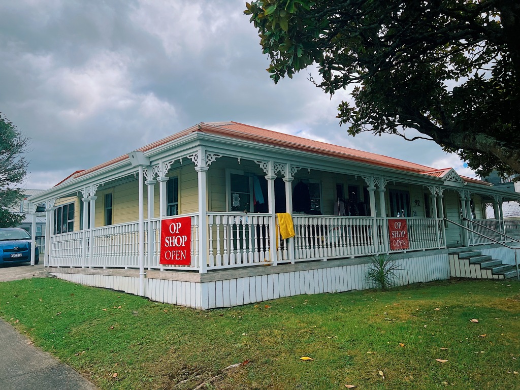
New Zealanders call thrift stores ‘op shops’. This was one of the nicest ones we have come across during our walks.