March 21-22, 2021
We started our tour of Marlborough in Picton, waiting for a boat to take us to Furneaux Lodge, in Queen Charlotte Sound. Picton is where the large ferries dock that sail over from Wellington at the bottom of the North Island.

We liked these colorful chairs, a perfect spot to sit in the sun and enjoy the view of the harbor.


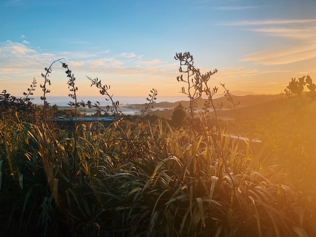
Soon we were on our way out into the Sounds, leaving Picton behind us.

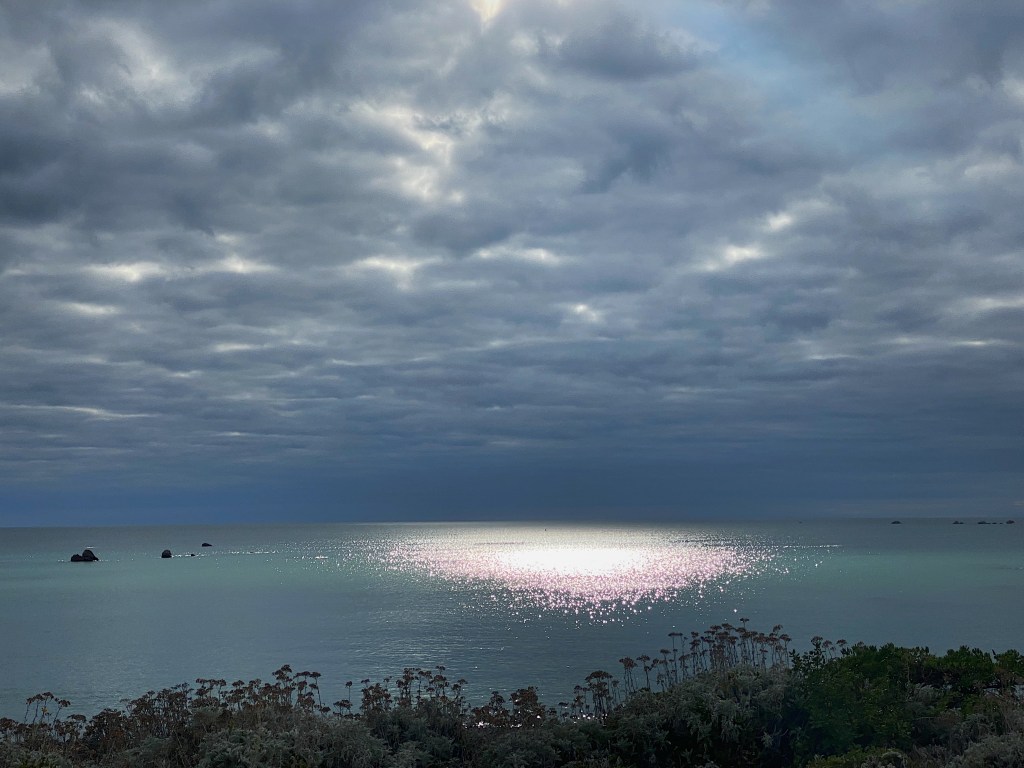
A Sound is, apparently, a large ocean inlet and is distinguished from a fjord by its width. The boat captain explained that the Marlborough Sounds had been created when a huge earthquake thousands of years ago caused the land to sink, leading to the existing valleys that had led to the ocean becoming submerged.
Along the way to the lodge we dropped off other passengers at different points along the Sound. The only access for most is by water and the inhabitants rely on boats such as the one we were on to provide their supplies. One older lady we spoke with went to town around every eight weeks. Between those times she shot deer and fished for food. As she put it, to be a resident of the Sounds you have to be comfortable with your own company.
Eventually, after a couple of hours we reached Furneaux Lodge.
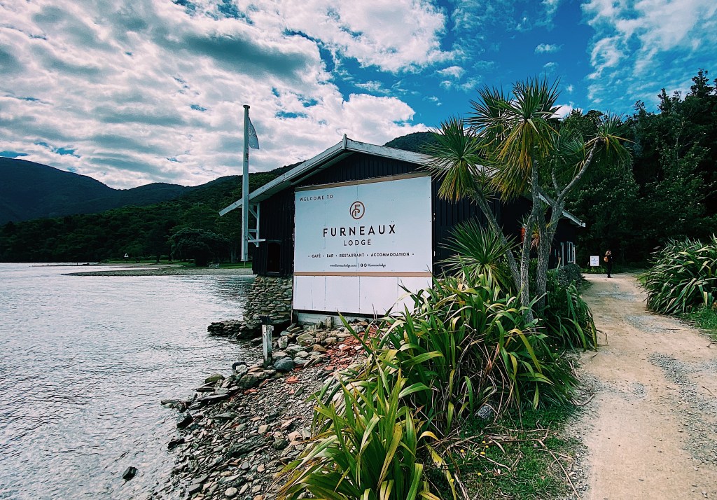
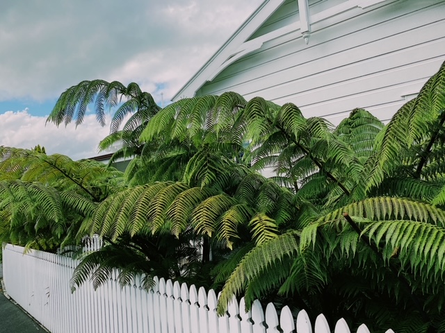
The Lodge is named for the mountain under which it sits, which in turn was named by Captain James Cook after Captain Tobias Furneaux, an English navigator who joined Cook on his second voyage to the Pacific. Cook seemed to have a particular affinity for the area and revisited it a number of times. In fact, the inlet on which the lodge stands is named Endeavor Inlet after Cook’s boat. The lodge sits on a beautiful piece of land right at the end of the inlet. Unusual for the area, there is a large expanse of grass between the water and the lodge itself.

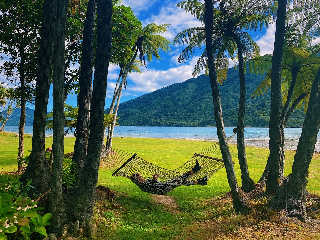
With a great place to relax in a hammock.
The lodge, itself, was built as a family home in the late 1890s.

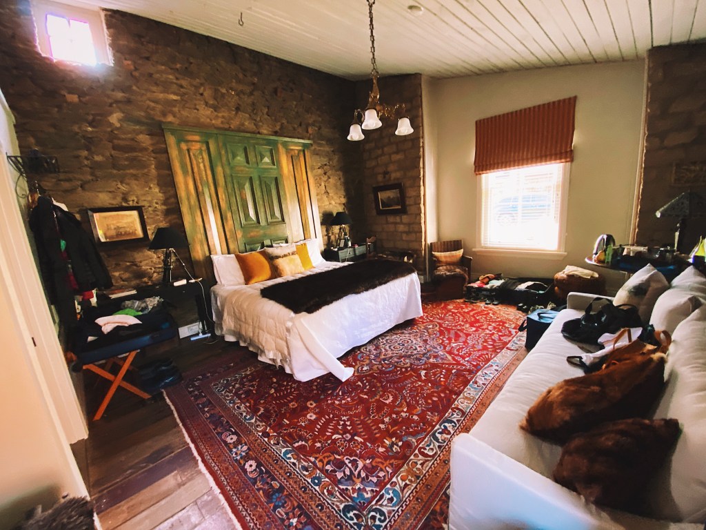
But the guests stay is small cottages scattered about the property. Here is ours.

In true kiwi fashion, when we arrived we found most of the male guests gathered in the bar watching the rugby. We’re sorry to say that the Canterbury Crusaders crushed our hometown Auckland Blues.

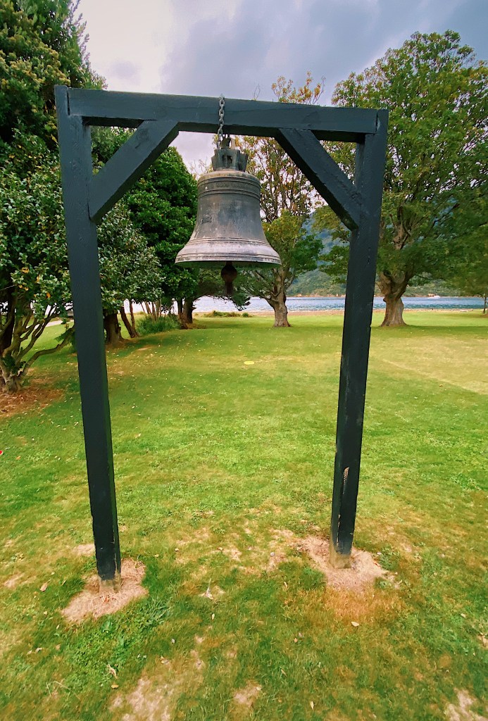
There is a bell on the property that has an interesting story. Originally owned by a Spanish Mission in China, it was given to Commander Harry Howden of the British Navy who led a daring mission to save three missionaries who had been kidnapped by bandits.
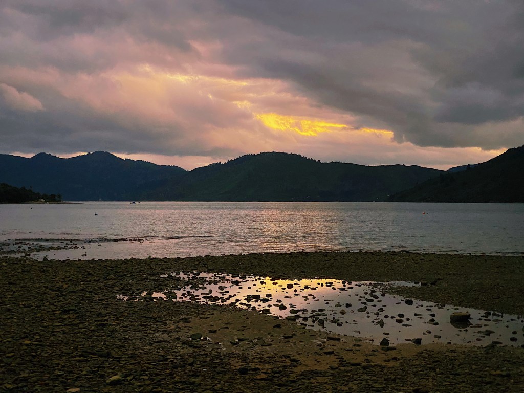
The evening was very quiet and serene.

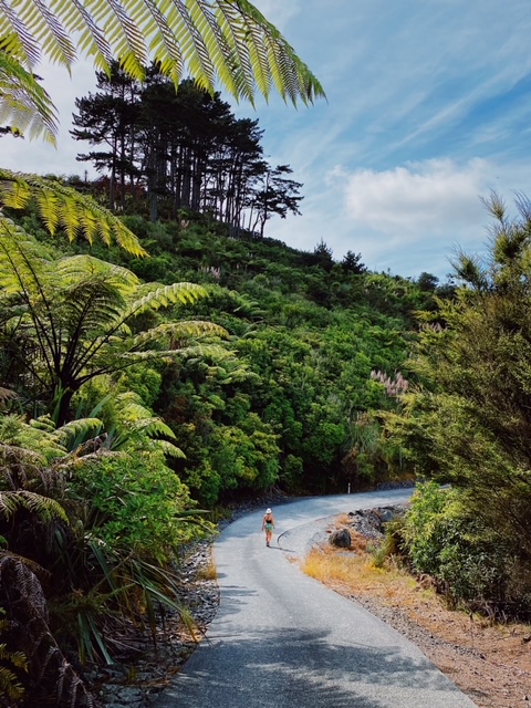
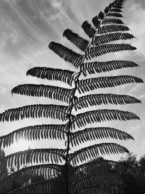
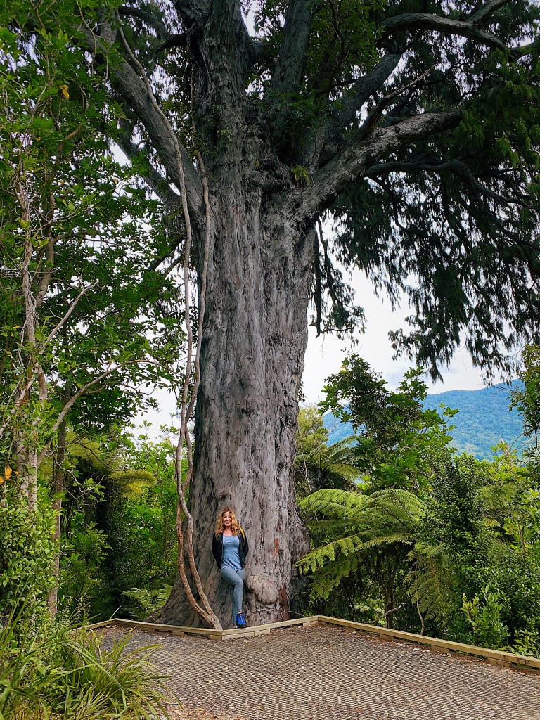
On the next day, we walked up into the bush behind the Lodge and along the popular Queen Charlotte Track for a little while.
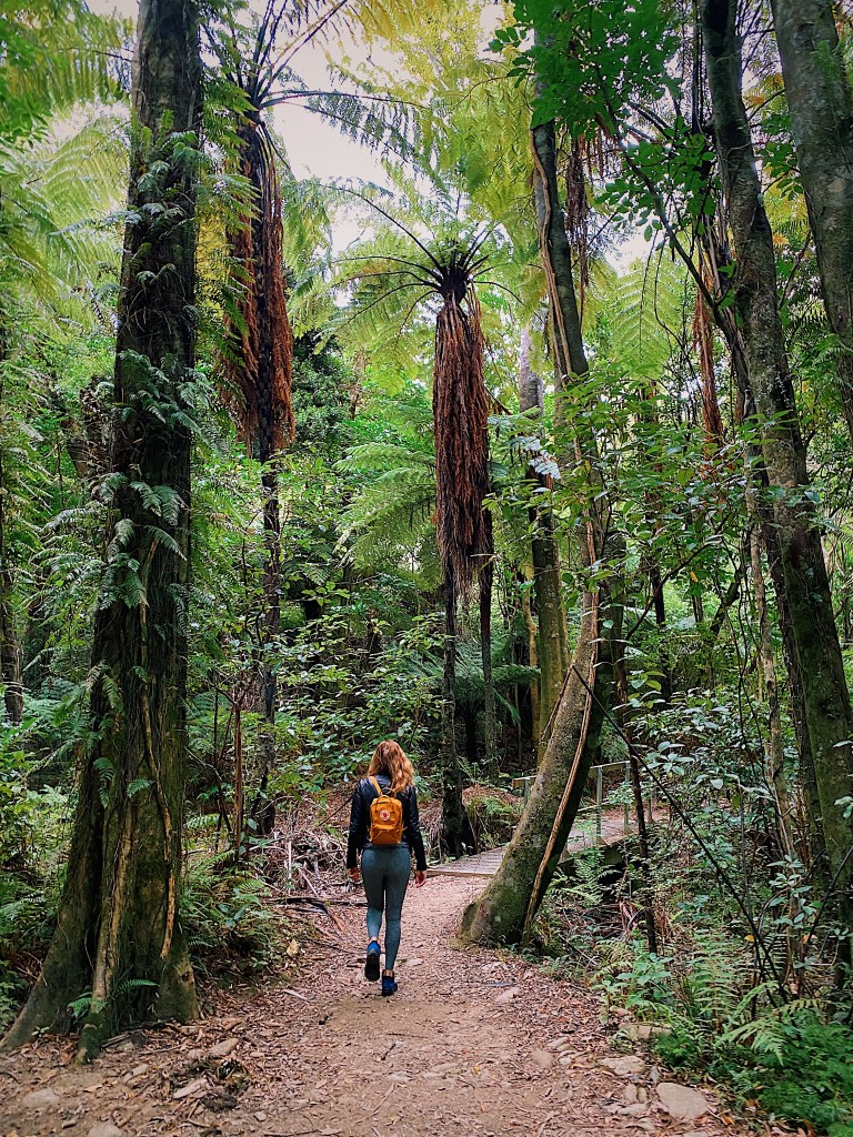
Beside the trail is a massive ancient Rimu tree that is estimated to be over 1000 years old.
We were joined on the walk by this little fantail.
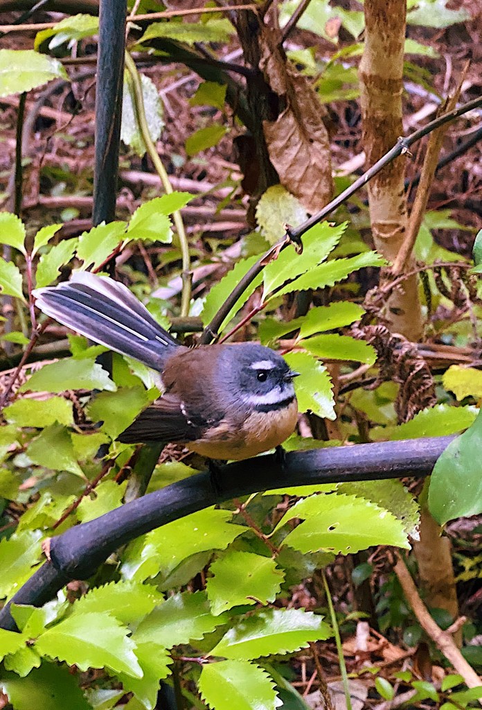

Called piwakawaka in Maori, fantails are the only wild bird that we are aware of that will actually join you on a walk. Apparently, people kick up insects as they walk along which the birds like to eat. So as we wandered along, this one flittered about, stopping when we stopped and moving when we moved. It was not shy at all about letting us get close.
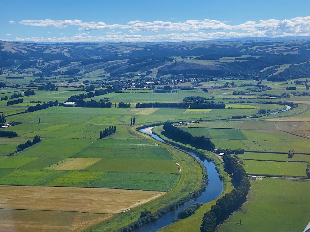
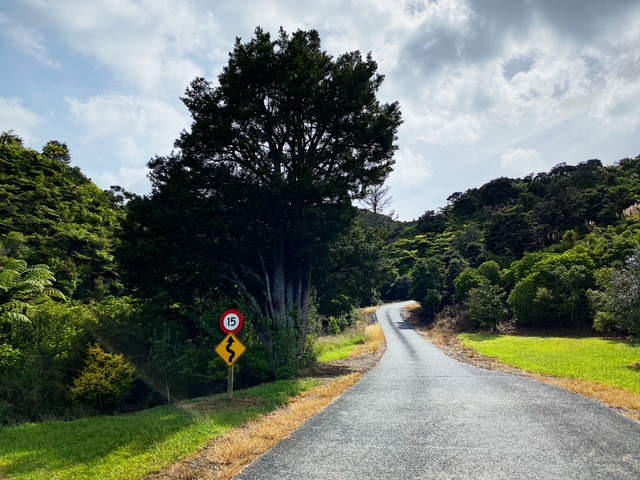
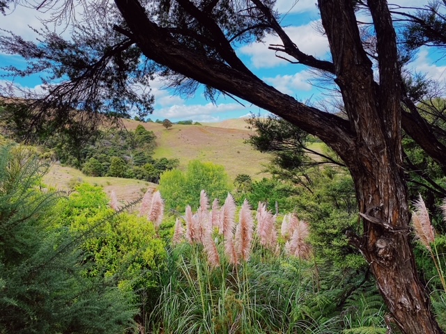
Back in the car, we made our way toward Nelson, driving through the Wairau Valley, past miles and miles of vineyards.
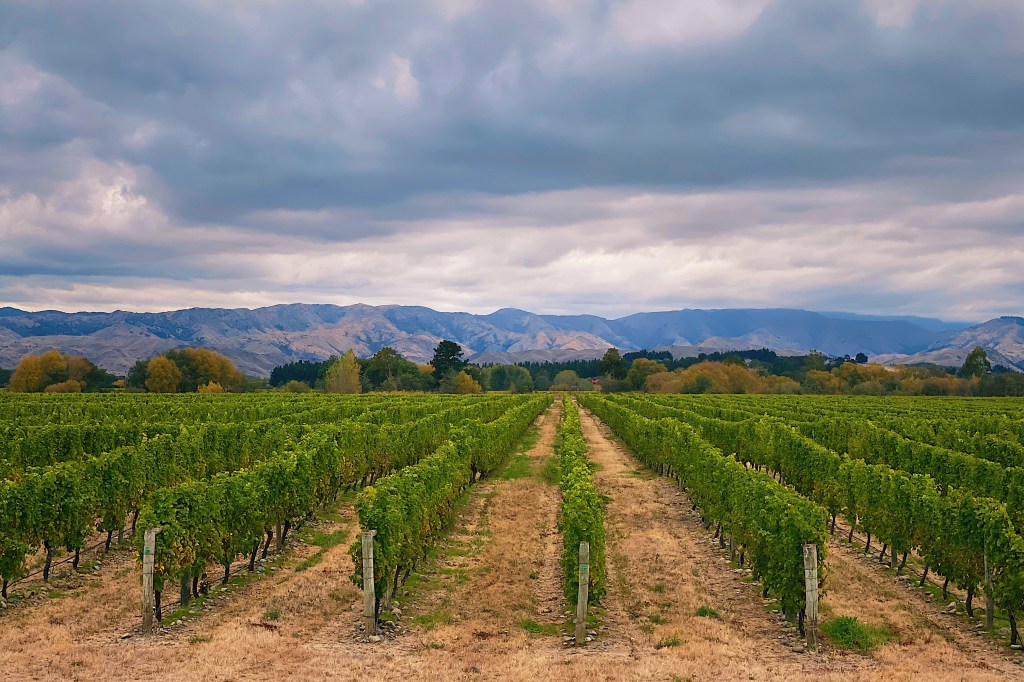
Marlborough is home to some of the world’s finest Sauvignon Blancs and we recognized many of the vineyard names, including the one that arguably started it all back in the 1980s, Cloudy Bay.

As we drove by thousands of acres of vineyards, it was easy to seed just how big an industry wine has become in New Zealand. It is now one of New Zealand’s biggest exports, bringing in close to $2 billion in 2019.