February 20, 2024
Auckland is built on a volcanic field and there are approximately 53 volcanoes in the area. Fortunately, they are all dormant. Many have now been built over and are now undetectable. However, there are still over a dozen that can clearly be seen, as they rise above the city and surrounding suburbs. Over the last couple of years we have been climbing those volcanos. Today, we finally climbed Auckland’s most recognizable volcano, Rangitoto.
Rangitoto is Maori for ‘bloody sky’, with the name coming from the full phrase Nga Rangitoto-i-totongia-a Tama-te-kapua (“the days of the bleeding of Tama-te-kapua”) Tama-te-kapua was a maori chief who was badly wounded on the island. ‘Bloody Sky’ also appears to be a particularly appropriate name for a volcano that last erupted only 600 years ago.
Not only is Rangitoto the area’s newest volcano, it is also the largest, at 5.5 km (3.4 mi) wide and 260 m (850 ft) high. It is also perfectly symmetrical and looks pretty much identical from any direction. It has that classic volcano look that children draw.

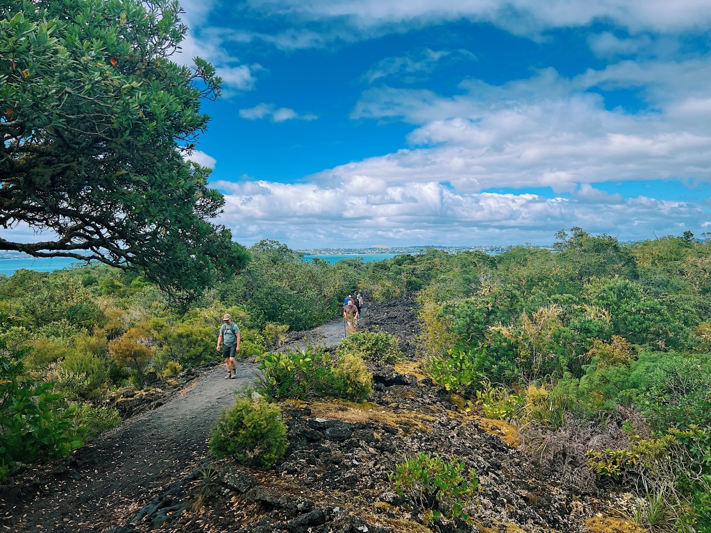
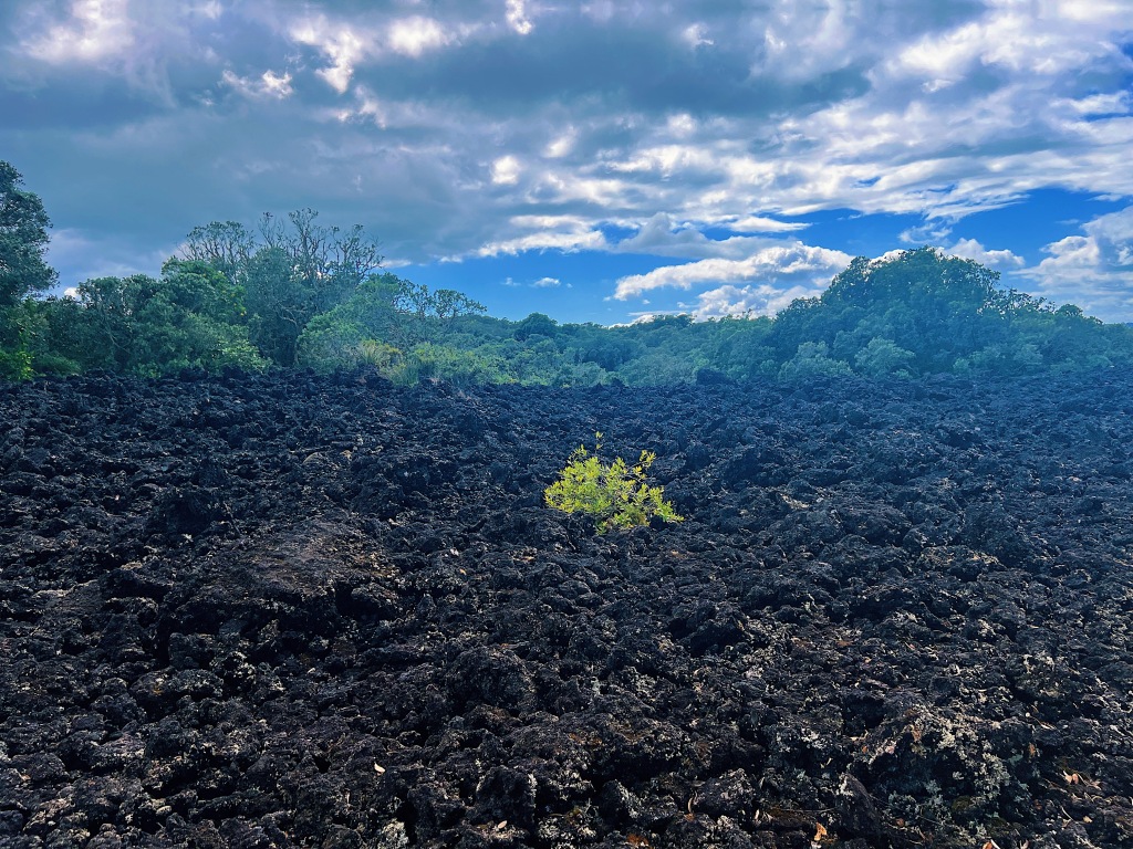
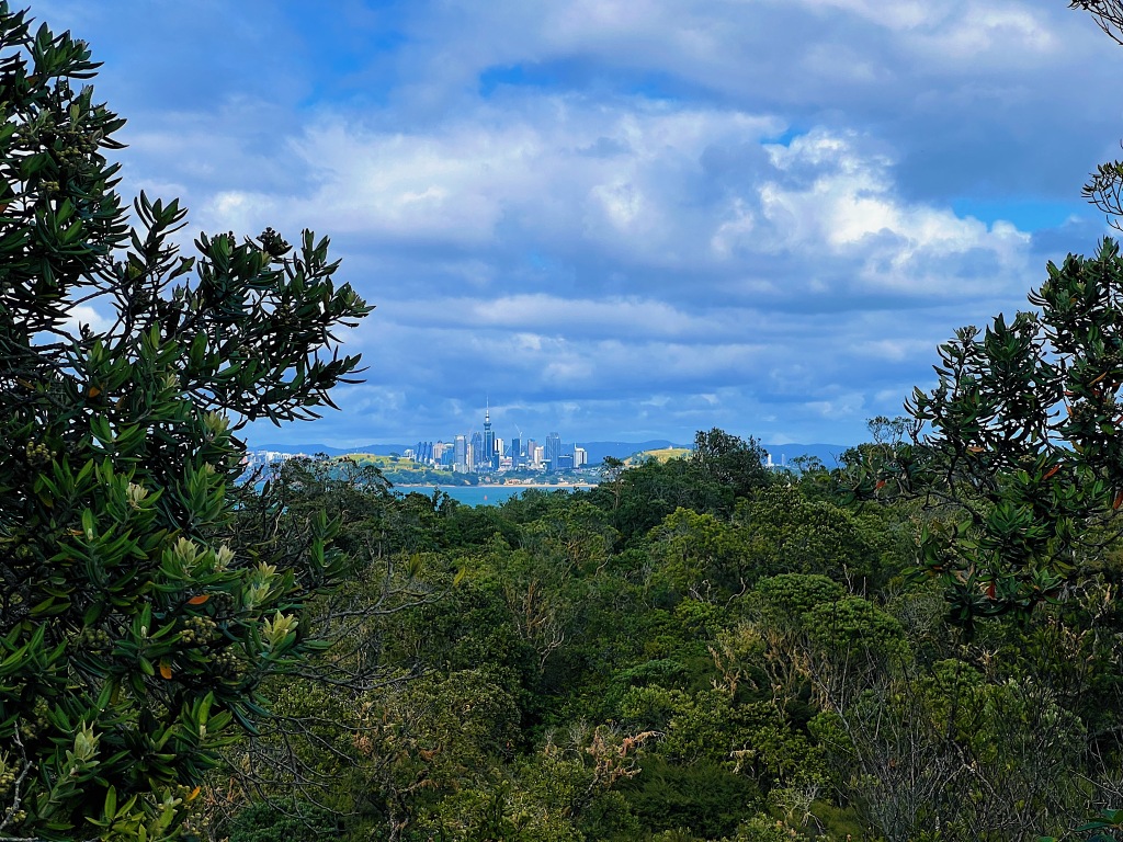
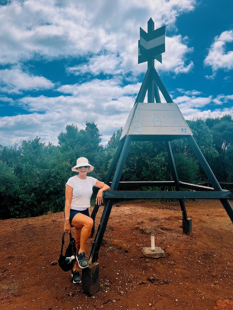
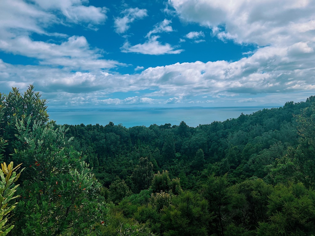
Rangitoto is an island that sits not too far from shore in the middle of Waitemata Harbor. It is a twenty minute ferry ride from downtown Auckland and is well worth the trip. We started our visit by making the one hour climb through lava fields and native forest to the summit.


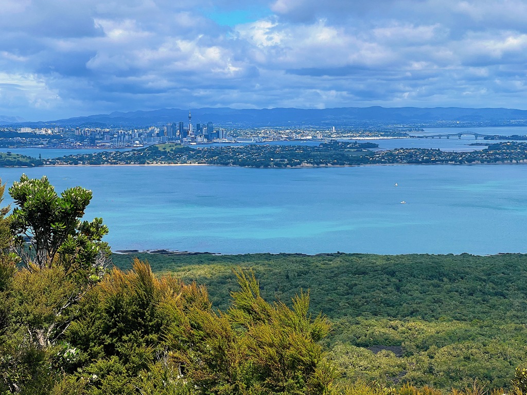

The crater is huge and filled with native forest.
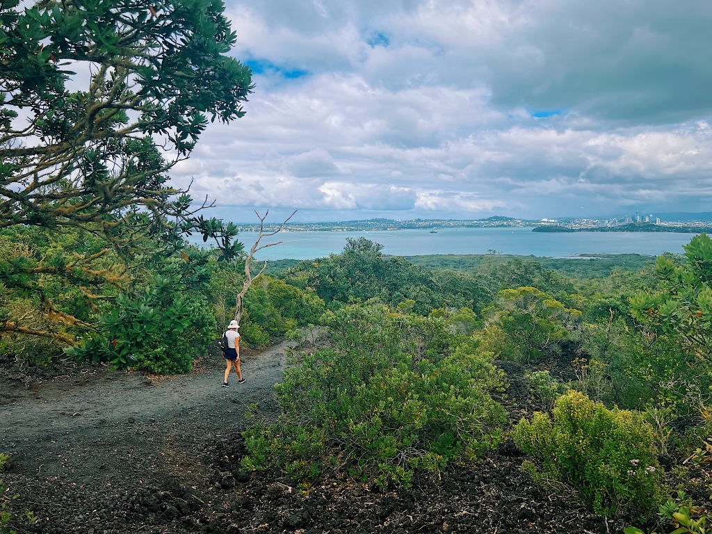
The walk back down was much less strenuous.

There is a pretty pathway around the shore that passes some historic baches (pronounced ‘batch’, baches are what New Zealanders call beach homes).


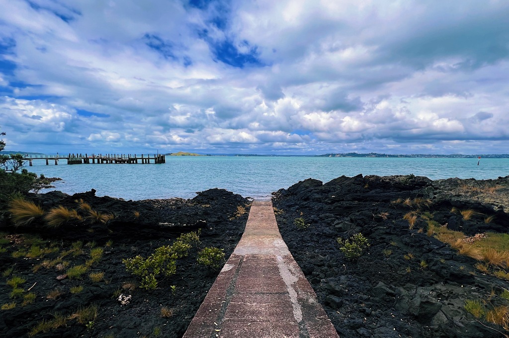
There is a man-made pool that fills up for swimming at high tide. Unfortunately, the tide was out.

There is also a short boardwalk over the tidal marshland.


