January 13, 2023
Today our good friend, John, joined us as we climbed Mangere (pronounced Man-ger-y) Mountain. Mangere is one of Auckland’s largest volcanic peaks, including not just one but two cones. Standing at 106 meters (348 feet) above sea level, it dominates the surrounding neighborhood of the same name. It gets its name from the Maori phrase “hau mangare” meaning “lazy winds”, due to the shelter it provides from the prevailing westerlies. It has two other Maori names, Te Pane-o-Mataaho (the head of Mataaho) and Te Ara Pueru (the path of dog skin cloaks). Mataaho is a Maori god of earthquakes and eruptions and is associated with many of the volcanic features in the Auckland region. Te Ara Pueru, apparently, refers to a historic event that occurred on the mountain prior to European arrival. We are intrigued at what happened at the event but have not been able to find any further information.
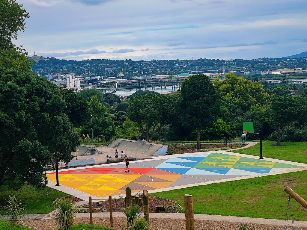
At the foot of the mountain is a very nice playground, complete with a colorful basketball court.

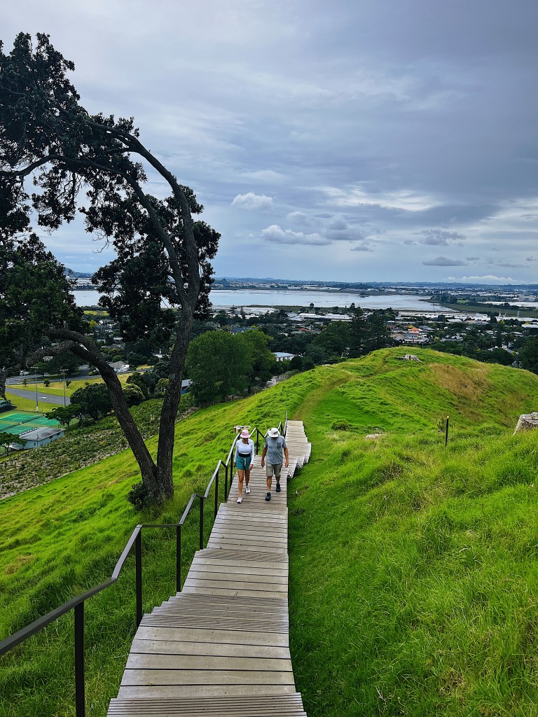
Here is the view up the mountain

There were some helpful steps to ease the difficulty of the climb.
Quite a few non-native trees had been felled. A native pohutukawa tree had found a home growing out of this stump.

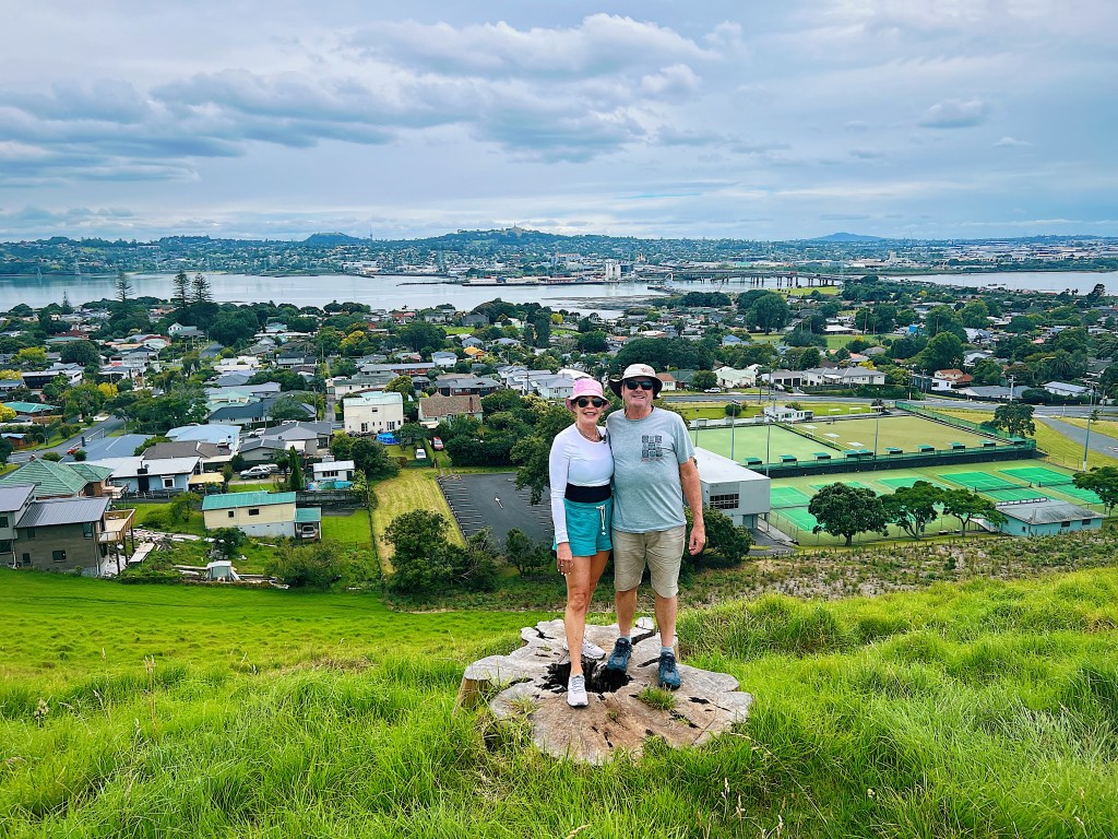
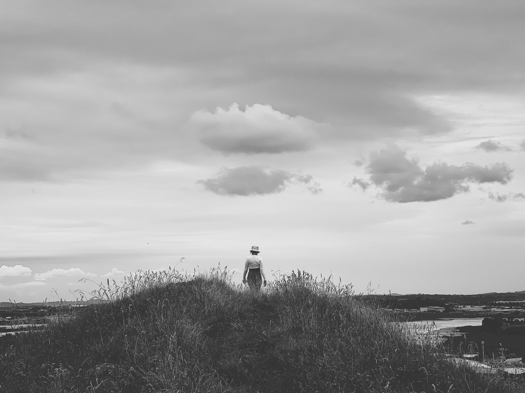
The stumps also make good places to stand for photos.
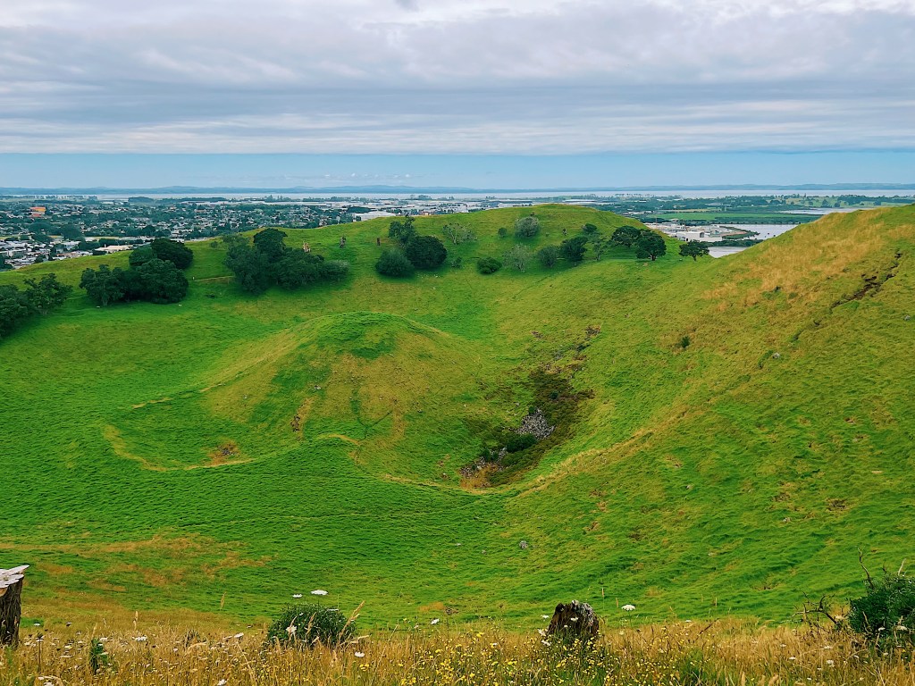
Here is the view down into the larger of the two cones.
Here are some more views from the climb.


The remains of the pa (fortified village) that once stood on the mountain are visible in the terraces and the underground storage pits, where the Maori buried kumara (sweet potatoes) to keep them cool and dry.


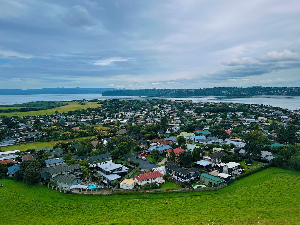
There is a third crater right next to the mountain that is now a perfectly round lagoon.

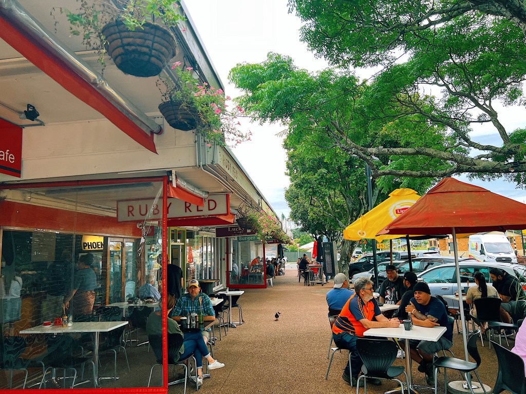
Because this is New Zealand, all outings must include a stop at one of the little independent cafes, that are everywhere. This one, called Ruby Red, was in Mangere Bridge, the little township at the foot of the mountain.